1905 Clarkson Way Landover, MD 20785
Greater Landover Neighborhood
--
Bed
--
Bath
49,848
Sq Ft
2.88
Acres
About This Home
This home is located at 1905 Clarkson Way, Landover, MD 20785. 1905 Clarkson Way is a home located in Prince George's County with nearby schools including Columbia Park Elementary School, G. James Gholson Middle School, and Fairmont Heights High School.
Ownership History
Date
Name
Owned For
Owner Type
Purchase Details
Closed on
Aug 23, 2005
Sold by
Auth Family Llc
Bought by
Landover Warehouse Llc and Choi Michael
Home Financials for this Owner
Home Financials are based on the most recent Mortgage that was taken out on this home.
Original Mortgage
$3,600,000
Outstanding Balance
$1,909,322
Interest Rate
5.81%
Mortgage Type
Commercial
Purchase Details
Closed on
Sep 25, 1998
Sold by
Spm Partnership
Bought by
Auth Family Llc
Purchase Details
Closed on
Jan 2, 1987
Sold by
Md 50 Associates
Bought by
Spm Partnership
Create a Home Valuation Report for This Property
The Home Valuation Report is an in-depth analysis detailing your home's value as well as a comparison with similar homes in the area
Home Values in the Area
Average Home Value in this Area
Purchase History
| Date | Buyer | Sale Price | Title Company |
|---|---|---|---|
| Landover Warehouse Llc | $5,000,000 | -- | |
| Auth Family Llc | $2,500,000 | -- | |
| Spm Partnership | $525,100 | -- |
Source: Public Records
Mortgage History
| Date | Status | Borrower | Loan Amount |
|---|---|---|---|
| Open | Landover Warehouse Llc | $3,600,000 |
Source: Public Records
Tax History Compared to Growth
Tax History
| Year | Tax Paid | Tax Assessment Tax Assessment Total Assessment is a certain percentage of the fair market value that is determined by local assessors to be the total taxable value of land and additions on the property. | Land | Improvement |
|---|---|---|---|---|
| 2025 | $64,281 | $7,350,767 | -- | -- |
| 2024 | $64,281 | $6,565,733 | $0 | $0 |
| 2023 | $64,281 | $5,780,700 | $1,254,500 | $4,526,200 |
| 2022 | $91,387 | $5,739,733 | $0 | $0 |
| 2021 | $90,778 | $5,698,767 | $0 | $0 |
| 2020 | $90,169 | $5,657,800 | $1,254,500 | $4,403,300 |
| 2019 | $90,169 | $5,657,800 | $1,254,500 | $4,403,300 |
| 2018 | $90,169 | $5,657,800 | $1,254,500 | $4,403,300 |
| 2017 | $93,944 | $5,911,800 | $0 | $0 |
| 2016 | -- | $5,595,733 | $0 | $0 |
| 2015 | $76,239 | $5,279,667 | $0 | $0 |
| 2014 | $76,239 | $4,963,600 | $0 | $0 |
Source: Public Records
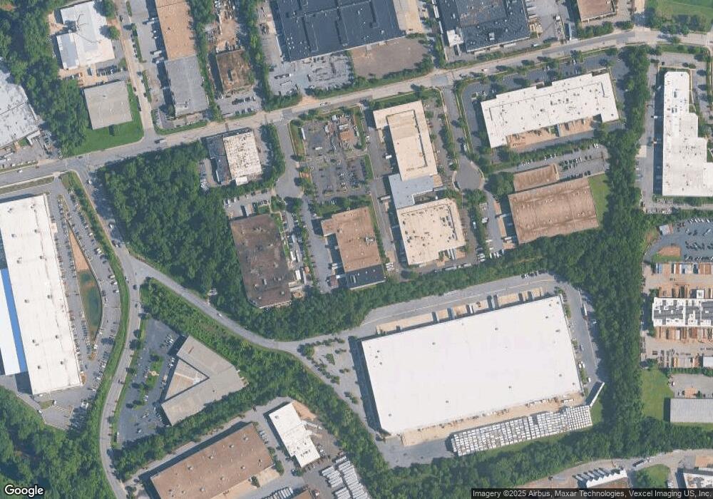
Map
Nearby Homes
- 6202 State St
- 6516 Columbia Park Rd
- 2208 Columbia Place
- 2512 Wayne Place
- 2217 Columbia Place
- 2116 Columbia Ave
- 2203 Parkway
- 1603 Warren Ave
- 6007 State St
- 1528 Hunt Ave
- 6431 Forest Rd
- 2211 Vermont Ave
- 1505 Warren Ave
- 2804 Woodway Place
- 2307 Cheverly Ave
- 1843 Ryderwood Ct
- 1152 Booker Dr
- 1910 Kent Village Dr
- 2817 63rd Place
- 2813 Laurel Ave
- 1900 Clarkson Way
- 6101 Columbia Park Rd
- 1900 Stanford Ct
- 6049 Columbia Park Rd
- 1950 Stanford Ct
- 6001 Columbia Park Rd
- 1811 Cabin Branch Dr
- 1901 Cabin Branch Dr
- 1901 Stanford Ct
- 1701 Cabin Branch Dr
- 6000 Columbia Park Rd
- 2003 Beaver Rd
- 6100 Columbia Park Rd
- 6207 Columbia Park Rd
- 6231 Columbia Park Rd
- 6229 Columbia Park Rd
- 2008 Beaver Rd
- 2009 Beaver Rd
- 2013 Beaver Rd
- 6200 Columbia Park Rd