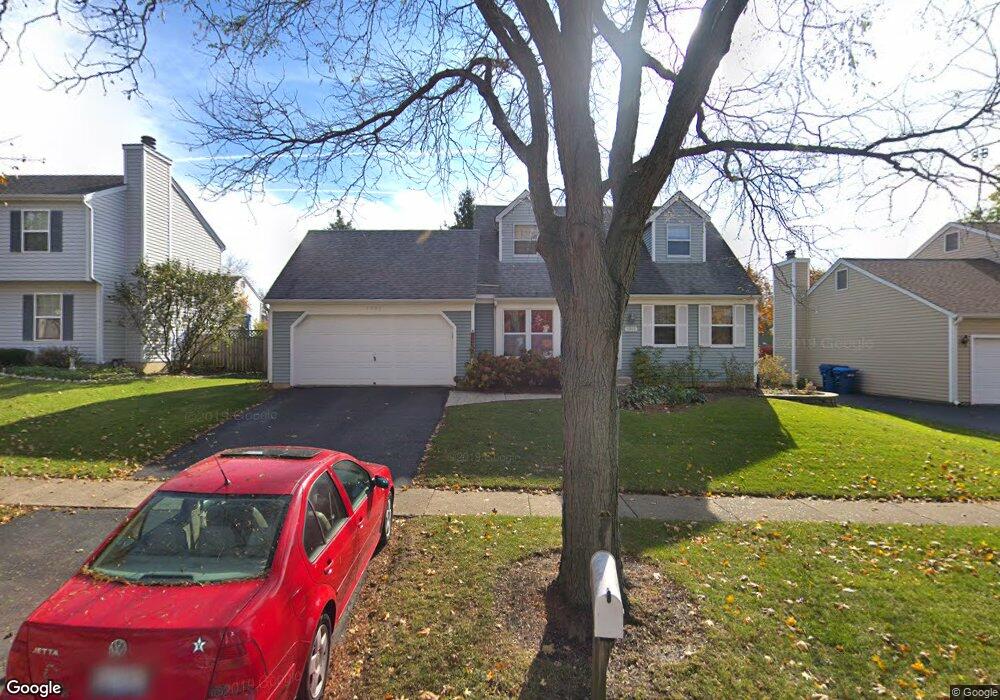
1905 Larson Ave Unit 6 Saint Charles, IL 60174
Southeast Saint Charles NeighborhoodEstimated Value: $394,223 - $455,000
2
Beds
2
Baths
1,530
Sq Ft
$275/Sq Ft
Est. Value
About This Home
This home is located at 1905 Larson Ave Unit 6, Saint Charles, IL 60174 and is currently estimated at $420,806, approximately $275 per square foot. 1905 Larson Ave Unit 6 is a home located in Kane County with nearby schools including Munhall Elementary School, Wredling Middle School, and St Charles East High School.
Ownership History
Date
Name
Owned For
Owner Type
Purchase Details
Closed on
Mar 29, 1996
Sold by
Fronek Laurie J
Bought by
Horn Mark A and Horn Catherine
Current Estimated Value
Home Financials for this Owner
Home Financials are based on the most recent Mortgage that was taken out on this home.
Original Mortgage
$138,400
Outstanding Balance
$6,285
Interest Rate
6.98%
Estimated Equity
$414,521
Purchase Details
Closed on
Nov 27, 1995
Sold by
Fronek Roger I
Bought by
Fronek Laurie J
Create a Home Valuation Report for This Property
The Home Valuation Report is an in-depth analysis detailing your home's value as well as a comparison with similar homes in the area
Home Values in the Area
Average Home Value in this Area
Purchase History
| Date | Buyer | Sale Price | Title Company |
|---|---|---|---|
| Horn Mark A | $154,000 | -- | |
| Fronek Laurie J | -- | -- |
Source: Public Records
Mortgage History
| Date | Status | Borrower | Loan Amount |
|---|---|---|---|
| Open | Horn Mark A | $138,400 |
Source: Public Records
Tax History Compared to Growth
Tax History
| Year | Tax Paid | Tax Assessment Tax Assessment Total Assessment is a certain percentage of the fair market value that is determined by local assessors to be the total taxable value of land and additions on the property. | Land | Improvement |
|---|---|---|---|---|
| 2024 | $7,881 | $106,170 | $33,516 | $72,654 |
| 2023 | $7,605 | $95,023 | $29,997 | $65,026 |
| 2022 | $7,177 | $88,892 | $33,203 | $55,689 |
| 2021 | $6,911 | $84,732 | $31,649 | $53,083 |
| 2020 | $6,843 | $83,152 | $31,059 | $52,093 |
| 2019 | $6,727 | $81,506 | $30,444 | $51,062 |
| 2018 | $6,378 | $76,889 | $29,286 | $47,603 |
| 2017 | $6,129 | $73,146 | $28,285 | $44,861 |
| 2016 | $6,448 | $70,577 | $27,291 | $43,286 |
| 2015 | -- | $67,966 | $26,997 | $40,969 |
| 2014 | -- | $65,377 | $26,997 | $38,380 |
| 2013 | -- | $68,340 | $27,267 | $41,073 |
Source: Public Records
Map
Nearby Homes
- 1718 Jeanette Ave
- 1724 Patricia Ln
- 1718 Patricia Ln Unit 4
- 1609 Forrest Blvd
- 1529 Rita Ave
- 1540 Independence Ave
- 9 Temple Garden Ct
- 1439 Walnut Hill Ave
- 662 Nichole Ln
- 1464 Division Ct
- 1533 Banbury Ave
- 680 Chandler Ave
- 1226 Lencioni Ct
- 904 Geneva Dr
- 1590 Adams Ave
- 888 Geneva Dr
- 1572 Dempsey Dr
- 1719 S 4th Place
- 1541 Kirkwood Dr
- 1517 Dempsey Dr
- 1907 Larson Ave
- 1903 Larson Ave
- 1906 Rita Ave
- 1908 Rita Ave
- 1904 Rita Ave
- 1901 Larson Ave
- 1909 Larson Ave
- 1910 Rita Ave Unit 6
- 1906 Larson Ave
- 1904 Larson Ave
- 1908 Larson Ave Unit 6
- 1902 Rita Ave
- 1902 Larson Ave
- 1811 Larson Ave
- 1910 Larson Ave Unit 6
- 1814 Larson Ave
- 1812 Rita Ave
- lot 12 Weber Rd
- 1905 Ronzheimer Ave
- 1907 Rita Ave