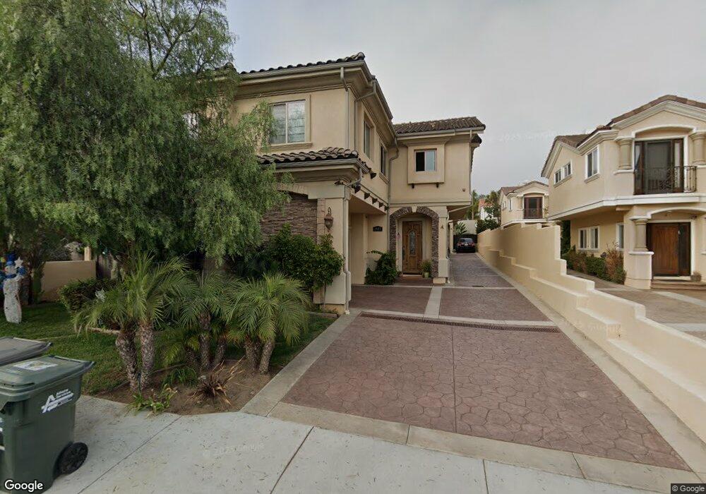
1905 Marshallfield Ln Unit B Redondo Beach, CA 90278
North Redondo Beach NeighborhoodEstimated Value: $1,677,000 - $1,940,000
4
Beds
4
Baths
2,410
Sq Ft
$752/Sq Ft
Est. Value
About This Home
This home is located at 1905 Marshallfield Ln Unit B, Redondo Beach, CA 90278 and is currently estimated at $1,811,812, approximately $751 per square foot. 1905 Marshallfield Ln Unit B is a home located in Los Angeles County with nearby schools including Jefferson Elementary School, Parras (Nick G.) Middle School, and Redondo Union High School.
Ownership History
Date
Name
Owned For
Owner Type
Purchase Details
Closed on
Feb 15, 2008
Sold by
Goldstein Steven
Bought by
Pippard Keith R and Pippard Marion C
Current Estimated Value
Home Financials for this Owner
Home Financials are based on the most recent Mortgage that was taken out on this home.
Original Mortgage
$589,000
Interest Rate
5.99%
Mortgage Type
Purchase Money Mortgage
Create a Home Valuation Report for This Property
The Home Valuation Report is an in-depth analysis detailing your home's value as well as a comparison with similar homes in the area
Home Values in the Area
Average Home Value in this Area
Purchase History
| Date | Buyer | Sale Price | Title Company |
|---|---|---|---|
| Pippard Keith R | $989,000 | Lawyers Title Company |
Source: Public Records
Mortgage History
| Date | Status | Borrower | Loan Amount |
|---|---|---|---|
| Previous Owner | Pippard Keith R | $589,000 |
Source: Public Records
Tax History Compared to Growth
Tax History
| Year | Tax Paid | Tax Assessment Tax Assessment Total Assessment is a certain percentage of the fair market value that is determined by local assessors to be the total taxable value of land and additions on the property. | Land | Improvement |
|---|---|---|---|---|
| 2025 | $14,905 | $1,299,052 | $525,398 | $773,654 |
| 2024 | $14,905 | $1,273,582 | $515,097 | $758,485 |
| 2023 | $14,632 | $1,248,611 | $504,998 | $743,613 |
| 2022 | $14,392 | $1,224,130 | $495,097 | $729,033 |
| 2021 | $14,010 | $1,200,129 | $485,390 | $714,739 |
| 2019 | $13,695 | $1,164,535 | $470,994 | $693,541 |
| 2018 | $13,316 | $1,141,702 | $461,759 | $679,943 |
| 2016 | $12,895 | $1,097,370 | $443,829 | $653,541 |
| 2015 | $11,080 | $939,000 | $380,000 | $559,000 |
| 2014 | $11,125 | $939,000 | $380,000 | $559,000 |
Source: Public Records
Map
Nearby Homes
- 1812 Clark Ln Unit A
- 1814 Pullman Ln
- 1303 Harkness Ln
- 2020 Clark Ln Unit B
- 1816 Speyer Ln
- 2102 Marshallfield Ln Unit B
- 2102 Marshallfield Ln Unit A
- 1903 Morgan Ln Unit B
- 1114 Goodman Ave
- 2121 Marshallfield Ln
- 1915 Havemeyer Ln Unit A
- 1108 Stanford Ave
- 1536 Wollacott St
- 2112 Grant Ave Unit B
- 2205 Clark Ln Unit A
- 1141 Stanford Ave
- 2002 Carnegie Ln Unit A
- 1306 Carmelita Ave
- 1730 Havemeyer Ln
- 1209 Stanford Ave
- 1905 Marshallfield Ln Unit A or B
- 1905 Marshallfield Ln Unit A
- 1903 Marshallfield Ln Unit B
- 1903 Marshallfield Ln Unit A
- 1907 Marshallfield Ln Unit A
- 1901 Marshallfield Ln
- 1909 Marshallfield Ln Unit A
- 1909 Marshallfield Ln
- 1204 Flagler Ln
- 1904 Marshallfield Ln Unit B
- 1904 Marshallfield Ln Unit A
- 1911 Marshallfield Ln Unit B
- 1911 Marshallfield Ln Unit A
- 1911 Marshallfield Ln
- 1904 Clark Ln
- 1904 Clark Ln Unit 1
- 1823 Marshallfield Ln
- 1902 Clark Ln Unit B
- 1902 Clark Ln Unit A