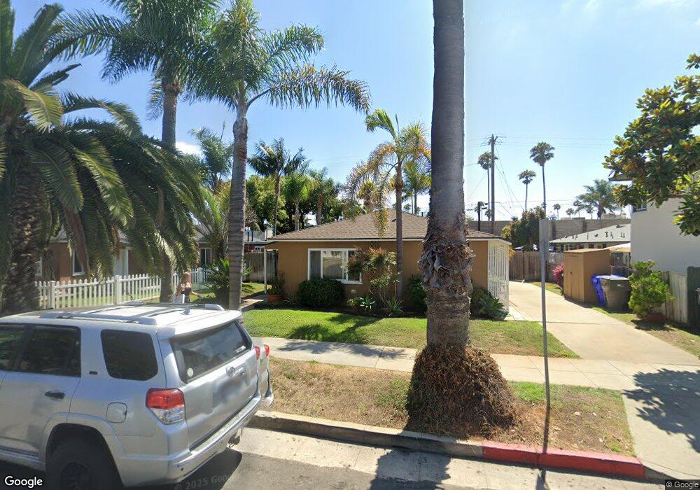
1905 S Freeman St Unit 7 Oceanside, CA 92054
South Oceanside NeighborhoodEstimated Value: $1,220,000 - $1,436,000
4
Beds
2
Baths
1,250
Sq Ft
$1,042/Sq Ft
Est. Value
About This Home
This home is located at 1905 S Freeman St Unit 7, Oceanside, CA 92054 and is currently estimated at $1,302,045, approximately $1,041 per square foot. 1905 S Freeman St Unit 7 is a home located in San Diego County with nearby schools including South Oceanside Elementary School, Lincoln Middle School, and Oceanside High School.
Ownership History
Date
Name
Owned For
Owner Type
Purchase Details
Closed on
Mar 25, 1999
Sold by
Stephenson Todd Charles and Stephenson Mona
Bought by
Crenshaw Mike E and Crenshaw Era L
Current Estimated Value
Home Financials for this Owner
Home Financials are based on the most recent Mortgage that was taken out on this home.
Original Mortgage
$177,810
Outstanding Balance
$43,181
Interest Rate
6.79%
Mortgage Type
FHA
Estimated Equity
$1,258,864
Purchase Details
Closed on
Feb 24, 1999
Sold by
Hicks Judy
Bought by
Stephenson Todd Charles and Stephenson Mona
Home Financials for this Owner
Home Financials are based on the most recent Mortgage that was taken out on this home.
Original Mortgage
$177,810
Outstanding Balance
$43,181
Interest Rate
6.79%
Mortgage Type
FHA
Estimated Equity
$1,258,864
Create a Home Valuation Report for This Property
The Home Valuation Report is an in-depth analysis detailing your home's value as well as a comparison with similar homes in the area
Home Values in the Area
Average Home Value in this Area
Purchase History
| Date | Buyer | Sale Price | Title Company |
|---|---|---|---|
| Crenshaw Mike E | $179,000 | First American Title Co | |
| Stephenson Todd Charles | $145,000 | First American Title |
Source: Public Records
Mortgage History
| Date | Status | Borrower | Loan Amount |
|---|---|---|---|
| Open | Crenshaw Mike E | $177,810 | |
| Closed | Stephenson Todd Charles | $101,500 |
Source: Public Records
Tax History
| Year | Tax Paid | Tax Assessment Tax Assessment Total Assessment is a certain percentage of the fair market value that is determined by local assessors to be the total taxable value of land and additions on the property. | Land | Improvement |
|---|---|---|---|---|
| 2025 | $3,143 | $280,597 | $156,761 | $123,836 |
| 2024 | $3,143 | $275,096 | $153,688 | $121,408 |
| 2023 | $3,047 | $269,703 | $150,675 | $119,028 |
| 2022 | $3,001 | $264,416 | $147,721 | $116,695 |
| 2021 | $3,013 | $259,232 | $144,825 | $114,407 |
| 2020 | $2,921 | $256,574 | $143,340 | $113,234 |
| 2019 | $2,838 | $251,544 | $140,530 | $111,014 |
| 2018 | $2,808 | $246,613 | $137,775 | $108,838 |
| 2017 | $70 | $241,778 | $135,074 | $106,704 |
| 2016 | $2,668 | $237,038 | $132,426 | $104,612 |
| 2015 | $2,515 | $233,478 | $130,437 | $103,041 |
| 2014 | $2,419 | $228,905 | $127,882 | $101,023 |
Source: Public Records
Map
Nearby Homes
- 1909-11 S Freeman St
- 1840 S Tremont St
- 1834 S Tremont St
- 1921 S Myers St
- 1842-46 S Pacific St
- 1846 S Pacific St
- 1931 S Pacific St
- 2156 S Coast Hwy
- 2132 S Coast Hwy
- 2168 S Coast Hwy
- 2186 S Coast Hwy
- 1806 Stewart St
- 1573 Vista Del Mar Way Unit 4
- 920 Morse St
- 1002 Morse St
- 1413 La Salina St
- 79 St Malo Unit 79
- 120 Sherri Ln
- 2435 Garfield St Unit 2
- 270 Normandy Ln
- 509 Kelly St Unit 15
- 1913-15 S Freeman St
- 1913 S Freeman St
- 1906 S Freeman St
- 1912 S Freeman St
- 1902 S Freeman St
- 1917 S Freeman St
- W S Freeman St
- 1916 S Freeman St
- 510 Kelly St Unit 12
- 1921 S Freeman St
- 1839 Alvarado St
- 1922 S Coast Hwy
- 1922 S Freeman St
- 1833 Alvarado St
- 1925 S Freeman St
- 1918 S Coast Hwy
- 1920 S Coast Hwy
- 1920 S Coast Hwy
- 1906 Alvarado St
Your Personal Tour Guide
Ask me questions while you tour the home.