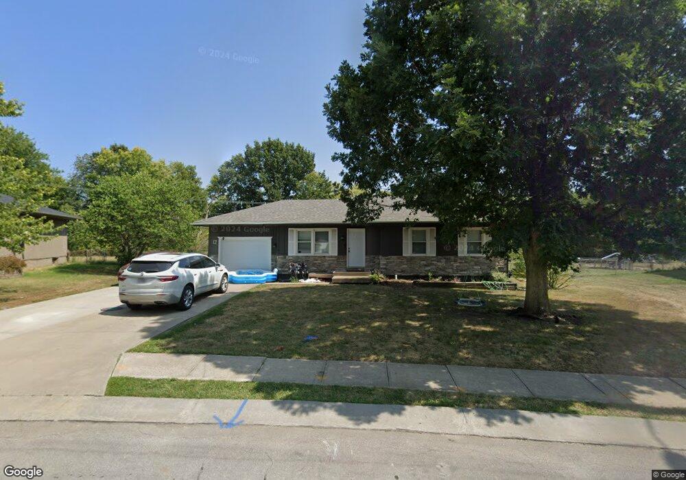
1905 Stacy Rd Harrisonville, MO 64701
Estimated Value: $207,000 - $225,000
3
Beds
1
Bath
1,004
Sq Ft
$216/Sq Ft
Est. Value
About This Home
This home is located at 1905 Stacy Rd, Harrisonville, MO 64701 and is currently estimated at $216,584, approximately $215 per square foot. 1905 Stacy Rd is a home located in Cass County with nearby schools including McEowen Elementary School, Harrisonville Elementary School, and Harrisonville Middle School.
Ownership History
Date
Name
Owned For
Owner Type
Purchase Details
Closed on
May 13, 2021
Sold by
Yoder Jaquilyn and Kellhoffer Brian
Bought by
Jmb Rentals And Investments Llc
Current Estimated Value
Purchase Details
Closed on
Sep 11, 2017
Sold by
Humbird Ty
Bought by
Yoder Jaquilyn Dee and Yoder Jaquilyn
Home Financials for this Owner
Home Financials are based on the most recent Mortgage that was taken out on this home.
Original Mortgage
$122,172
Interest Rate
3.2%
Mortgage Type
New Conventional
Purchase Details
Closed on
Oct 27, 2016
Sold by
Mackay Brian S and Mackay Tammy
Bought by
Humbird Ty
Home Financials for this Owner
Home Financials are based on the most recent Mortgage that was taken out on this home.
Original Mortgage
$75,000
Interest Rate
3.57%
Mortgage Type
Construction
Create a Home Valuation Report for This Property
The Home Valuation Report is an in-depth analysis detailing your home's value as well as a comparison with similar homes in the area
Home Values in the Area
Average Home Value in this Area
Purchase History
| Date | Buyer | Sale Price | Title Company |
|---|---|---|---|
| Jmb Rentals And Investments Llc | -- | Coffelt Land Title Inc | |
| Yoder Jaquilyn Dee | -- | Commonwealth Land Title Insu | |
| Humbird Ty | -- | None Available |
Source: Public Records
Mortgage History
| Date | Status | Borrower | Loan Amount |
|---|---|---|---|
| Previous Owner | Yoder Jaquilyn Dee | $122,172 | |
| Previous Owner | Humbird Ty | $75,000 |
Source: Public Records
Tax History
| Year | Tax Paid | Tax Assessment Tax Assessment Total Assessment is a certain percentage of the fair market value that is determined by local assessors to be the total taxable value of land and additions on the property. | Land | Improvement |
|---|---|---|---|---|
| 2025 | $1,470 | $24,960 | $4,060 | $20,900 |
| 2024 | $1,470 | $21,780 | $3,690 | $18,090 |
| 2023 | $1,462 | $21,780 | $3,690 | $18,090 |
| 2022 | $1,302 | $19,180 | $3,690 | $15,490 |
| 2021 | $1,302 | $19,180 | $3,690 | $15,490 |
| 2020 | $1,252 | $18,490 | $3,690 | $14,800 |
| 2019 | $1,159 | $18,490 | $3,690 | $14,800 |
| 2018 | $1,031 | $16,310 | $3,250 | $13,060 |
| 2017 | $995 | $16,310 | $3,250 | $13,060 |
| 2016 | $995 | $15,630 | $3,250 | $12,380 |
| 2015 | $995 | $15,630 | $3,250 | $12,380 |
| 2014 | $995 | $15,630 | $3,250 | $12,380 |
| 2013 | -- | $15,630 | $3,250 | $12,380 |
Source: Public Records
Map
Nearby Homes
- 1707 Stacy Rd
- 1905 Eagle Dr
- 1913 Hawk View
- 2212 Pemberton Dr
- 2224 Pemberton Dr
- 2411 Twin Oaks Dr
- 1701 E South St
- 2203 Mission Rd
- 4 Orchard Place
- 2205 Mission Rd
- 2200 Mission Rd
- 1003 Twin Oaks Terrace
- 1002 Twin Oaks Terrace
- 1000 Twin Oaks Terrace
- 1001 Twin Oaks Terrace
- 904 Twin Oaks Terrace
- 1204 Blueberry Dr
- 902 Twin Oaks Terrace
- 2203 Twin Oaks Dr
- 2201 Twin Oaks Dr
Your Personal Tour Guide
Ask me questions while you tour the home.