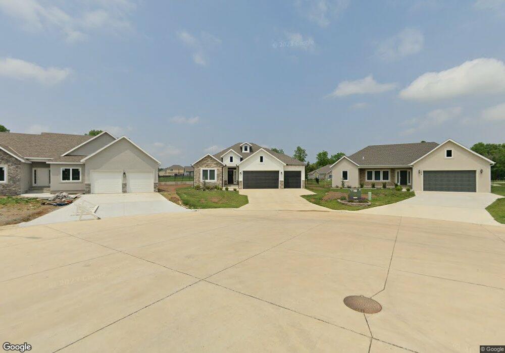
1906 Carnie Smith Ct Pittsburg, KS 66762
Estimated Value: $376,000 - $403,000
3
Beds
3
Baths
1,731
Sq Ft
$223/Sq Ft
Est. Value
About This Home
This home is located at 1906 Carnie Smith Ct, Pittsburg, KS 66762 and is currently estimated at $386,727, approximately $223 per square foot. 1906 Carnie Smith Ct is a home located in Crawford County with nearby schools including Geo E. Nettels Elementary School, Pittsburg Middle School, and Pittsburg High School.
Ownership History
Date
Name
Owned For
Owner Type
Purchase Details
Closed on
Jul 12, 2024
Sold by
P & L Dev Llc
Bought by
Pruitt Sharon K and Ferguson Lori
Current Estimated Value
Purchase Details
Closed on
Oct 22, 2021
Bought by
Rourk Chad and Rourk Meghan
Create a Home Valuation Report for This Property
The Home Valuation Report is an in-depth analysis detailing your home's value as well as a comparison with similar homes in the area
Home Values in the Area
Average Home Value in this Area
Purchase History
| Date | Buyer | Sale Price | Title Company |
|---|---|---|---|
| Pruitt Sharon K | -- | Security First Title | |
| Rourk Chad | $348,000 | -- |
Source: Public Records
Tax History Compared to Growth
Tax History
| Year | Tax Paid | Tax Assessment Tax Assessment Total Assessment is a certain percentage of the fair market value that is determined by local assessors to be the total taxable value of land and additions on the property. | Land | Improvement |
|---|---|---|---|---|
| 2025 | $6,046 | $43,700 | $3,803 | $39,897 |
| 2024 | $6,046 | $40,422 | $3,803 | $36,619 |
| 2023 | $6,250 | $41,388 | $3,880 | $37,508 |
| 2022 | $6,144 | $40,020 | $3,036 | $36,984 |
| 2021 | $29 | $184 | $184 | $0 |
| 2020 | $29 | $184 | $184 | $0 |
| 2019 | $29 | $184 | $184 | $0 |
Source: Public Records
Map
Nearby Homes
- 1824 Silverback Way
- 1816 Silverback Way
- 1607 Al Ortalani Way
- 1605 Al Ortalani Way
- 1603 Al Ortalani Way
- 1601 Al Ortalani Way
- 1605 Al Ortolani Way
- 1607 Al Ortolani Way
- 1603 Al Ortolani Way
- 1601 S Al Ortolani St
- 1302 Bitner Terrace
- 1203 E Quincy St
- 1906 S Stilwell St
- 2301 S Stilwell St
- 706 E Centennial Dr
- 522 Ohio St
- 452 Fieldcrest Dr
- 2308 S Homer St
- 503 Utah St
- 503 Utah Ave
- 1906 Carnie Smith Ct
- 1904 Carnie Smith Ct
- 1826 Silverback Way N A
- 1826 Silverback Way
- 1824 Silverback Way N A
- 1902 Carnie Smith Ct
- 1822 Silverback Way N A
- 1822 Silverback Way
- 1601 Way
- 1823 Silverback Way N A
- 1829 Silverback Way N A
- 1829 Silverback Way
- 1820 Silverback Way N A
- 1820 Silverback Way
- 1825 Silverback Way N A
- 1825 Silverback Way
- 1905 Carnie Smith Ct
- 1901 Carnie Smith Ct
- 1903 Carnie Smith Ct
- 1814 Silverback Way N A