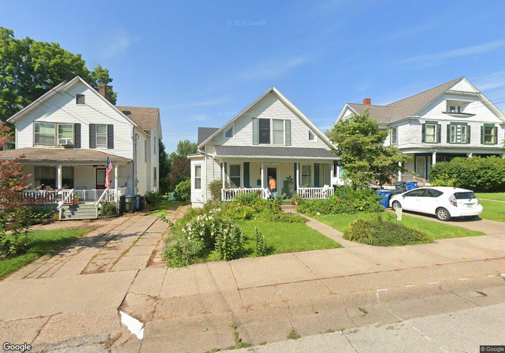
1906 Mulberry Ave Muscatine, IA 52761
Estimated Value: $174,851 - $233,000
4
Beds
3
Baths
1,793
Sq Ft
$111/Sq Ft
Est. Value
About This Home
This home is located at 1906 Mulberry Ave, Muscatine, IA 52761 and is currently estimated at $198,713, approximately $110 per square foot. 1906 Mulberry Ave is a home located in Muscatine County with nearby schools including Grant Elementary School, Central Middle School, and Muscatine High School.
Create a Home Valuation Report for This Property
The Home Valuation Report is an in-depth analysis detailing your home's value as well as a comparison with similar homes in the area
Home Values in the Area
Average Home Value in this Area
Tax History Compared to Growth
Tax History
| Year | Tax Paid | Tax Assessment Tax Assessment Total Assessment is a certain percentage of the fair market value that is determined by local assessors to be the total taxable value of land and additions on the property. | Land | Improvement |
|---|---|---|---|---|
| 2025 | $2,306 | $151,320 | $25,650 | $125,670 |
| 2024 | $2,306 | $151,160 | $25,650 | $125,510 |
| 2023 | $2,480 | $151,124 | $25,684 | $125,440 |
| 2022 | $2,264 | $132,160 | $24,230 | $107,930 |
| 2021 | $2,264 | $119,880 | $24,230 | $95,650 |
| 2020 | $2,222 | $114,560 | $24,230 | $90,330 |
| 2019 | $2,172 | $106,820 | $0 | $0 |
| 2018 | $2,138 | $106,820 | $0 | $0 |
| 2017 | $2,138 | $106,820 | $0 | $0 |
| 2016 | $2,218 | $106,820 | $0 | $0 |
| 2015 | $2,218 | $103,070 | $0 | $0 |
| 2014 | $2,148 | $103,890 | $0 | $0 |
Source: Public Records
Map
Nearby Homes
- 1900 Mulberry Ave
- 1908 Mulberry Ave
- 1822 Mulberry Ave
- 1910 Mulberry Ave
- 1912 Mulberry Ave
- 308 Burnside Ave
- 306 Burnside Ave
- 1818 Mulberry Ave
- 304 Burnside Ave
- 302 Burnside Ave
- 1907 Mulberry Ave
- 500 Leroy St
- 1819 Mulberry Ave
- 2002 Mulberry Ave
- 1815 Mulberry Ave
- 1821 Briarwood Ln
- 220 Burnside Ave
- 1919 Mulberry Ave
- 1813 Mulberry Ave
- 2006 Mulberry Ave