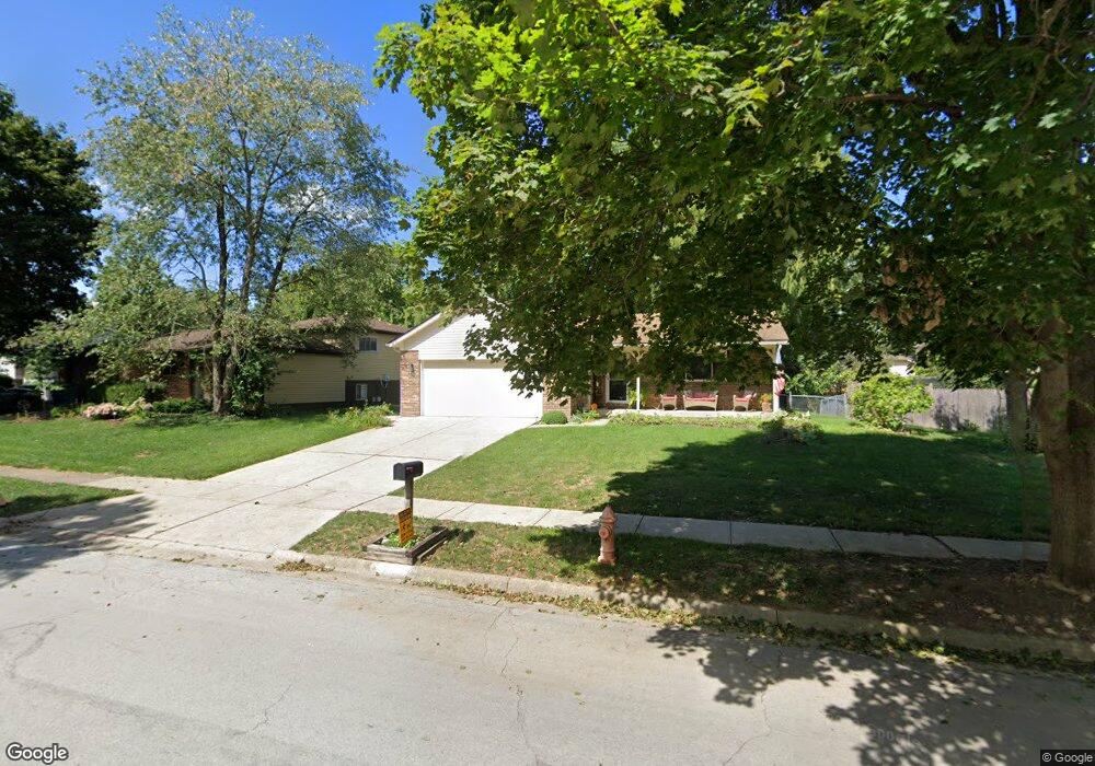
1906 Queensbridge Dr Columbus, OH 43235
Brookside Colony NeighborhoodEstimated Value: $289,000 - $387,000
3
Beds
2
Baths
1,191
Sq Ft
$286/Sq Ft
Est. Value
About This Home
This home is located at 1906 Queensbridge Dr, Columbus, OH 43235 and is currently estimated at $340,157, approximately $285 per square foot. 1906 Queensbridge Dr is a home located in Franklin County with nearby schools including Granby Elementary School, McCord Middle School, and Worthington Kilbourne High School.
Ownership History
Date
Name
Owned For
Owner Type
Purchase Details
Closed on
Mar 17, 2017
Sold by
Fanning Patricia
Bought by
Polzin Teresa M
Current Estimated Value
Purchase Details
Closed on
Feb 27, 2002
Sold by
Polzin Teresa M
Bought by
Polzin Teresa M and Fanning Patricia
Home Financials for this Owner
Home Financials are based on the most recent Mortgage that was taken out on this home.
Original Mortgage
$93,800
Interest Rate
7.11%
Mortgage Type
Purchase Money Mortgage
Purchase Details
Closed on
Apr 30, 1993
Bought by
Polzin Thomas K
Purchase Details
Closed on
Apr 1, 1976
Create a Home Valuation Report for This Property
The Home Valuation Report is an in-depth analysis detailing your home's value as well as a comparison with similar homes in the area
Home Values in the Area
Average Home Value in this Area
Purchase History
| Date | Buyer | Sale Price | Title Company |
|---|---|---|---|
| Polzin Teresa M | -- | None Available | |
| Polzin Teresa M | -- | Chelsea Title Agency | |
| Polzin Thomas K | $95,000 | -- | |
| -- | $44,100 | -- |
Source: Public Records
Mortgage History
| Date | Status | Borrower | Loan Amount |
|---|---|---|---|
| Previous Owner | Polzin Teresa M | $93,800 |
Source: Public Records
Tax History
| Year | Tax Paid | Tax Assessment Tax Assessment Total Assessment is a certain percentage of the fair market value that is determined by local assessors to be the total taxable value of land and additions on the property. | Land | Improvement |
|---|---|---|---|---|
| 2025 | $5,815 | $94,710 | $24,640 | $70,070 |
| 2024 | $5,815 | $94,710 | $24,640 | $70,070 |
| 2023 | $5,560 | $94,710 | $24,640 | $70,070 |
| 2022 | $5,358 | $72,420 | $18,450 | $53,970 |
| 2021 | $4,943 | $72,420 | $18,450 | $53,970 |
| 2020 | $4,762 | $72,420 | $18,450 | $53,970 |
| 2019 | $4,367 | $59,930 | $15,370 | $44,560 |
| 2018 | $3,768 | $59,930 | $15,370 | $44,560 |
| 2017 | $3,342 | $59,930 | $15,370 | $44,560 |
| 2016 | $3,305 | $55,300 | $13,650 | $41,650 |
| 2015 | $3,305 | $55,300 | $13,650 | $41,650 |
| 2014 | $3,304 | $55,300 | $13,650 | $41,650 |
| 2013 | $1,644 | $55,300 | $13,650 | $41,650 |
Source: Public Records
Map
Nearby Homes
- 1930 Shallowford Ave
- 7034 Rockhaven Place
- 6876 Spruce Pine Dr
- 1967 Slaton Ct
- 7370 Coldstream Dr
- 2001 Sawbury Blvd Unit 2001
- 2161 Heatherfield Ave
- 7746 Sagemeadow Ct
- 7456 Mapleleaf Ct
- 2687 Snouffer Rd
- 6747 Merwin Rd
- 2074 Hard Rd
- 7373 Palmleaf Ln
- 1380 Tiehack Ct
- 7164 Durness Place
- 6637 Merwin Rd
- 1986 Sutter Pkwy
- 2456 Sanford Dr
- 2469 Sandstrom Dr
- 7556 Antrim Ridge St
- 1914 Queensbridge Dr
- 1896 Queensbridge Dr
- 1899 Shallowford Ave
- 7012 Northshire Ln
- 1922 Queensbridge Dr
- 1905 Shallowford Ave
- 1913 Shallowford Ave
- 6987 Shorehill Ln
- 6994 Shorehill Ln
- 7020 Northshire Ln
- 1921 Shallowford Ave
- 1917 Queensbridge Dr
- 1931 Shallowford Ave
- 1876 Shallowford Ave
- 1877 Queensbridge Dr
- 1923 Queensbridge Dr
- 6979 Shorehill Ln
- 1888 Shallowford Ave
- 7001 Northshire Ln
- 1939 Shallowford Ave