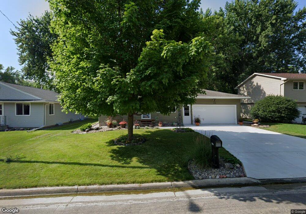
1906 State St Albert Lea, MN 56007
Estimated Value: $200,000 - $244,825
3
Beds
2
Baths
1,232
Sq Ft
$178/Sq Ft
Est. Value
About This Home
This home is located at 1906 State St, Albert Lea, MN 56007 and is currently estimated at $219,706, approximately $178 per square foot. 1906 State St is a home located in Freeborn County with nearby schools including Hawthorne Elementary School, Southwest Middle School, and Albert Lea Senior High School.
Ownership History
Date
Name
Owned For
Owner Type
Purchase Details
Closed on
Aug 15, 2017
Sold by
Giles Randy Randy
Bought by
Wood Dona Dona
Current Estimated Value
Home Financials for this Owner
Home Financials are based on the most recent Mortgage that was taken out on this home.
Original Mortgage
$135,000
Interest Rate
3.96%
Mortgage Type
New Conventional
Create a Home Valuation Report for This Property
The Home Valuation Report is an in-depth analysis detailing your home's value as well as a comparison with similar homes in the area
Home Values in the Area
Average Home Value in this Area
Purchase History
| Date | Buyer | Sale Price | Title Company |
|---|---|---|---|
| Wood Dona Dona | $135,000 | -- | |
| Wood Dona | $135,000 | Partners Title |
Source: Public Records
Mortgage History
| Date | Status | Borrower | Loan Amount |
|---|---|---|---|
| Closed | Wood Dona | $135,000 | |
| Closed | Wood Dona Dona | $130,000 |
Source: Public Records
Tax History
| Year | Tax Paid | Tax Assessment Tax Assessment Total Assessment is a certain percentage of the fair market value that is determined by local assessors to be the total taxable value of land and additions on the property. | Land | Improvement |
|---|---|---|---|---|
| 2025 | $3,160 | $235,000 | $19,800 | $215,200 |
| 2024 | $2,920 | $223,900 | $19,800 | $204,100 |
| 2023 | $3,042 | $206,900 | $19,800 | $187,100 |
| 2022 | $2,690 | $214,900 | $13,900 | $201,000 |
| 2021 | $2,442 | $169,100 | $13,900 | $155,200 |
| 2020 | $2,356 | $150,700 | $11,900 | $138,800 |
| 2019 | $1,868 | $126,400 | $9,900 | $116,500 |
| 2018 | $1,810 | $0 | $0 | $0 |
| 2016 | $1,510 | $0 | $0 | $0 |
| 2015 | $1,504 | $0 | $0 | $0 |
| 2014 | $1,246 | $0 | $0 | $0 |
| 2012 | $1,716 | $0 | $0 | $0 |
Source: Public Records
Map
Nearby Homes
- TBD Stevens St
- 604 Ulstad Ave
- 1715 SE Marshall St
- 1405 Johnson St
- 721 Columbus Ave
- 1917 Bimelich Ln
- 109 Charlotte Ave
- 614 Garfield Ave
- 717 Garfield Ave
- 808 Freeborn Ave
- 602 Minnesota Ave
- 1106 Foothills Cir
- 640 Marshall St
- 522 Alice Ave
- 2473 SE Marshall St
- 613 & 615 Giles Place
- 618 & 620 Giles Place
- 902 Clausen Ave
- 1626 Keystone Dr
- 319 Glenn Rd
- 1908 State St
- 1904 State St
- 1910 State St
- 606 Sherwood St
- 606 Sherwood Ave
- 1905 Johnson St
- 1913 Johnson St
- 1913 E Johnson St
- 1915 Johnson St
- 606 606 Shewood-Avenue-
- 1901 Johnson St
- 1912 State St
- 1917 Johnson St
- 611 Wayside Ave
- 1919 E Johnson St
- 1919 Johnson St
- 607 Sherwood Ave
- 1807 Johnson St
- 607 Sherwood St
- 1912 Johnson St
Your Personal Tour Guide
Ask me questions while you tour the home.