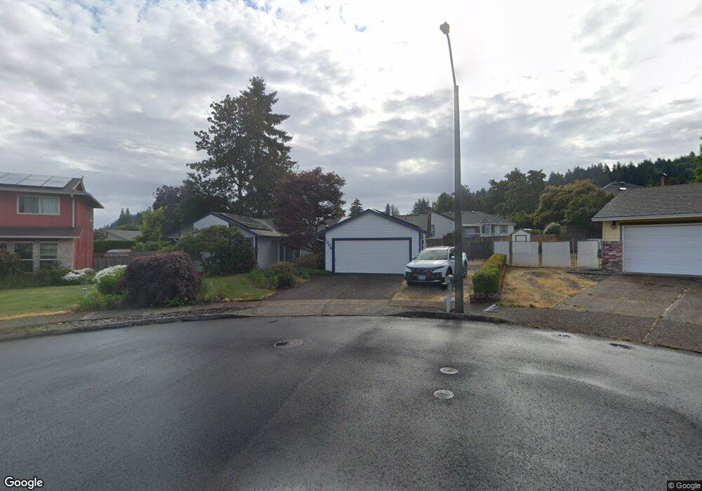
1906 SW 24th Ct Gresham, OR 97080
Southwest Gresham NeighborhoodEstimated Value: $470,000 - $516,000
3
Beds
2
Baths
1,552
Sq Ft
$315/Sq Ft
Est. Value
About This Home
This home is located at 1906 SW 24th Ct, Gresham, OR 97080 and is currently estimated at $489,502, approximately $315 per square foot. 1906 SW 24th Ct is a home located in Multnomah County with nearby schools including Dexter McCarty Middle School, Gresham High School, and Portland Adventist Elementary School.
Ownership History
Date
Name
Owned For
Owner Type
Purchase Details
Closed on
Jul 7, 2024
Sold by
Reidlinger Mary E and Yegee Mary E
Bought by
Mary E Reidlinger Revocable Living Trust and Reidlinger
Current Estimated Value
Purchase Details
Closed on
Jul 28, 1998
Sold by
Rue Robert Allen
Bought by
Yegge Robert W and Yegge Mary E
Home Financials for this Owner
Home Financials are based on the most recent Mortgage that was taken out on this home.
Original Mortgage
$70,000
Interest Rate
6.9%
Mortgage Type
Purchase Money Mortgage
Create a Home Valuation Report for This Property
The Home Valuation Report is an in-depth analysis detailing your home's value as well as a comparison with similar homes in the area
Home Values in the Area
Average Home Value in this Area
Purchase History
| Date | Buyer | Sale Price | Title Company |
|---|---|---|---|
| Mary E Reidlinger Revocable Living Trust | -- | None Listed On Document | |
| Yegge Robert W | $157,000 | Ticor Title Insurance |
Source: Public Records
Mortgage History
| Date | Status | Borrower | Loan Amount |
|---|---|---|---|
| Previous Owner | Yegge Robert W | $70,000 |
Source: Public Records
Tax History
| Year | Tax Paid | Tax Assessment Tax Assessment Total Assessment is a certain percentage of the fair market value that is determined by local assessors to be the total taxable value of land and additions on the property. | Land | Improvement |
|---|---|---|---|---|
| 2025 | $5,761 | $283,120 | -- | -- |
| 2024 | $5,515 | $274,880 | -- | -- |
| 2023 | $5,025 | $266,880 | $0 | $0 |
| 2022 | $4,884 | $259,110 | $0 | $0 |
| 2021 | $4,761 | $251,570 | $0 | $0 |
| 2020 | $4,480 | $244,250 | $0 | $0 |
| 2019 | $4,363 | $237,140 | $0 | $0 |
| 2018 | $4,160 | $230,240 | $0 | $0 |
| 2017 | $3,991 | $223,540 | $0 | $0 |
| 2016 | $3,519 | $217,030 | $0 | $0 |
Source: Public Records
Map
Nearby Homes
- 2520 SW Towle Ave
- 2160 SW 26th St
- 1645 SW 27th St
- 1441 SW 23rd Ct
- 1421 SW Binford Lake Pkwy
- 1278 SW 27th Ct
- 2294 SW Wallula Ln
- 3120 SW Orchard Place
- 0 SW Battaglia Ave
- 1333 SW 19th Dr
- 1320 SW 31st St
- 1963 SW Myers Place
- 1960 SW 13th Ct
- 2715 SW 31st St
- 2398 SW Tegart Ave
- 3079 SW 22nd St
- 3506 SW Battaglia Ave
- 1175 SW Chastain Dr
- 3512 SW Battaglia Ave
- 3536 SW Battaglia Ave
- 1921 SW 24th Ct
- 2473 SW Willowbrook Ave
- 1928 SW 24th Ct
- 2453 SW Willowbrook Ave
- 1954 SW 23rd Ct
- 2505 SW Willowbrook Ave
- 1945 SW 24th Ct
- 1932 SW 23rd Ct
- 1942 SW 24th Ct
- 2429 SW Willowbrook Ave
- 2533 SW Willowbrook Ave
- 1970 SW 23rd Ct
- 1966 SW 24th Ct
- 1979 SW 24th Ct
- 2474 SW Willowbrook Ave
- 2405 SW Willowbrook Ave
- 2452 SW Willowbrook Ave
- 1915 SW 25th St
- 2496 SW Willowbrook Ave
- 1931 SW 25th St
Your Personal Tour Guide
Ask me questions while you tour the home.