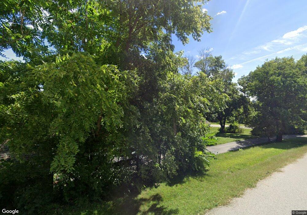
19065 Hawthorne Ave Council Bluffs, IA 51503
Estimated Value: $183,000 - $229,000
2
Beds
1
Bath
888
Sq Ft
$239/Sq Ft
Est. Value
About This Home
This home is located at 19065 Hawthorne Ave, Council Bluffs, IA 51503 and is currently estimated at $212,306, approximately $239 per square foot. 19065 Hawthorne Ave is a home located in Pottawattamie County with nearby schools including College View Elementary School, Crescent Elementary School, and Gerald W. Kirn Middle School.
Ownership History
Date
Name
Owned For
Owner Type
Purchase Details
Closed on
Jan 3, 2011
Sold by
Clarke Wanda M
Bought by
Clarke Wanda M
Current Estimated Value
Purchase Details
Closed on
Dec 13, 2010
Sold by
Henderson Stuart and Henderson Jennifer
Bought by
Henderson Stuart and Henderson Jennifer
Purchase Details
Closed on
Mar 6, 2007
Sold by
Cottrell Linda L and Cardwell Linda L
Bought by
Cottrell Linda L
Create a Home Valuation Report for This Property
The Home Valuation Report is an in-depth analysis detailing your home's value as well as a comparison with similar homes in the area
Home Values in the Area
Average Home Value in this Area
Purchase History
| Date | Buyer | Sale Price | Title Company |
|---|---|---|---|
| Clarke Wanda M | -- | None Available | |
| Henderson Stuart | -- | None Available | |
| Cottrell Linda L | -- | None Available |
Source: Public Records
Tax History Compared to Growth
Tax History
| Year | Tax Paid | Tax Assessment Tax Assessment Total Assessment is a certain percentage of the fair market value that is determined by local assessors to be the total taxable value of land and additions on the property. | Land | Improvement |
|---|---|---|---|---|
| 2025 | $2,168 | $167,300 | $57,700 | $109,600 |
| 2024 | $2,168 | $157,800 | $56,100 | $101,700 |
| 2023 | $2,152 | $157,800 | $56,100 | $101,700 |
| 2022 | $2,124 | $131,700 | $54,900 | $76,800 |
| 2021 | $3,131 | $131,700 | $54,900 | $76,800 |
| 2020 | $1,964 | $115,000 | $48,300 | $66,700 |
| 2019 | $2,034 | $115,000 | $48,300 | $66,700 |
| 2018 | $1,690 | $115,000 | $48,300 | $66,700 |
| 2017 | $1,690 | $97,109 | $36,641 | $60,468 |
| 2015 | $1,694 | $97,109 | $36,641 | $60,468 |
| 2014 | $1,696 | $97,109 | $36,641 | $60,468 |
Source: Public Records
Map
Nearby Homes
- 1778 Jennings Ave
- 1.12 AC Railroad Ave & Hwy 6
- 605 Ridge Rd N
- 944 Mckenzie Ave
- 37 Indian Hills Rd
- 627 Spencer Ave
- 18843 Evergreen Ln
- 638 Simms Ave
- 500 Spencer Ave
- 22143 Hackberry Rd
- 440 Simms Ave
- 407 Spencer Ave
- 401 Spencer Ave
- 21836 Vineyard Hills Dr
- LOT 12 Mcpherson Ave
- 415 Midland Dr
- 116 Spencer Ave
- 19404 Mudhollow Rd
- 162 N Linden Ave
- 155 S Linden Ave
- 19096 Railroad Hwy
- 19090 Hawthorne Ave
- 19136 Hawthorne Ave
- 2075 Jennings Ave
- 2061 Jennings Ave
- 19133 Hawthorne Ave
- 19140 Hawthorne Ave
- 2025 Jennings Ave
- 2076 Jennings Ave
- 19191 Hawthorne Ave
- 19180 Hawthorne Ave
- 1073 Jennings Ave
- 1029 Jennings Ave
- 2011 Jennings Ave
- 19194 Hawthorne Ave
- 19226 Hawthorne Ave
- 19223 Hawthorne Ave
- 95 Jennings Rd
- 2030 Jennings Ave
- 1977 Jennings Ave
