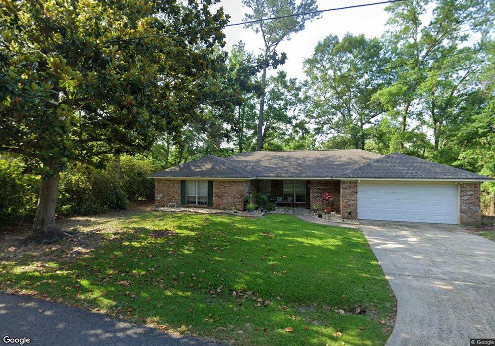
1907 Shady Point Cir Gautier, MS 39553
Estimated Value: $191,041 - $229,000
--
Bed
2
Baths
1,680
Sq Ft
$124/Sq Ft
Est. Value
About This Home
This home is located at 1907 Shady Point Cir, Gautier, MS 39553 and is currently estimated at $207,760, approximately $123 per square foot. 1907 Shady Point Cir is a home located in Jackson County with nearby schools including Martin Bluff Elementary School, Singing River Elementary School, and Gautier Middle School.
Ownership History
Date
Name
Owned For
Owner Type
Purchase Details
Closed on
Dec 14, 2009
Sold by
Rone Harmon E and Rone Pamela W
Bought by
Rone Pamela W
Current Estimated Value
Purchase Details
Closed on
Nov 29, 2005
Sold by
Christian Richard G and Christian Lark S
Bought by
Rone Harmon E and Rone Pamela W
Home Financials for this Owner
Home Financials are based on the most recent Mortgage that was taken out on this home.
Original Mortgage
$141,550
Interest Rate
6.23%
Create a Home Valuation Report for This Property
The Home Valuation Report is an in-depth analysis detailing your home's value as well as a comparison with similar homes in the area
Home Values in the Area
Average Home Value in this Area
Purchase History
| Date | Buyer | Sale Price | Title Company |
|---|---|---|---|
| Rone Pamela W | -- | -- | |
| Rone Harmon E | -- | -- |
Source: Public Records
Mortgage History
| Date | Status | Borrower | Loan Amount |
|---|---|---|---|
| Previous Owner | Rone Harmon E | $141,550 |
Source: Public Records
Tax History Compared to Growth
Tax History
| Year | Tax Paid | Tax Assessment Tax Assessment Total Assessment is a certain percentage of the fair market value that is determined by local assessors to be the total taxable value of land and additions on the property. | Land | Improvement |
|---|---|---|---|---|
| 2024 | $1,797 | $12,368 | $1,648 | $10,720 |
| 2023 | $1,797 | $12,368 | $1,648 | $10,720 |
| 2022 | $1,478 | $12,368 | $1,648 | $10,720 |
| 2021 | $1,477 | $12,356 | $1,648 | $10,708 |
| 2020 | $1,286 | $10,897 | $1,554 | $9,343 |
| 2019 | $1,300 | $10,897 | $1,554 | $9,343 |
| 2018 | $1,300 | $10,897 | $1,554 | $9,343 |
| 2017 | $1,207 | $10,897 | $1,554 | $9,343 |
| 2016 | $1,171 | $10,897 | $1,554 | $9,343 |
| 2015 | $921 | $90,490 | $15,540 | $74,950 |
| 2014 | $930 | $9,049 | $1,554 | $7,495 |
| 2013 | $897 | $9,049 | $1,554 | $7,495 |
Source: Public Records
Map
Nearby Homes
- 1927 Shady Point Cir
- 1709 Fairway Dr
- 1903 Bayou View Cir
- 00 Martin Bluff Rd
- Lots 27-28 Stockton Cir
- Lot 212 Longwood Dr
- Tbd Stockton Cir
- 2217 Bayou View Cir
- 2240 Brookside St
- 8122 Fairway Villa Dr Unit 22
- 8002 Martin Bluff Rd
- 0 Enarc Dr
- 0 Meadowdale Unit 4114012
- 8106 Fairway Villa Dr Unit 6
- 8305 Pine Cone Dr
- 7813 Rockvale Dr
- 1904 Kingslea Dr
- 7716 Dahlia Dr Unit 278
- 7828 Petunia Rd
- 7853 Petunia Rd
- 1905 Shady Point Cir
- 1908 Shady Point Cir
- LOT 64 Lot 64 Brookside Dr
- LOT 65 Lot 65 Brookside
- 1904 Shady Point Cir
- 1904 Shady Point
- 1816 Brookside St
- Lot 65 Brookside Dr
- 1920 Shady Point Cir
- 1921 Shady Point Cir
- 1810 Brookside Dr
- 1810 Brookside St
- 8500 Martin Bluff Rd
- 8513 Martin Bluff Rd
- 1925 Shady Point Cir
- 2000 Shady Point Cir
- 1908 Brookside St
- 1817 Brookside St
- 1819 Brookside St
- 1821 Fairway Dr