1907 W 6th St Red Wing, MN 55066
Estimated Value: $208,992 - $238,000
3
Beds
2
Baths
1,412
Sq Ft
$157/Sq Ft
Est. Value
About This Home
This home is located at 1907 W 6th St, Red Wing, MN 55066 and is currently estimated at $221,998, approximately $157 per square foot. 1907 W 6th St is a home located in Goodhue County with nearby schools including Sunnyside Elementary School, Burnside Elementary School, and Twin Bluff Middle School.
Ownership History
Date
Name
Owned For
Owner Type
Purchase Details
Closed on
Oct 11, 2018
Sold by
Youmans Properties Llc
Bought by
King Sharon and Washington Mark
Current Estimated Value
Purchase Details
Closed on
Sep 13, 2017
Sold by
Bonser Derek W and Bonser Sarah J
Bought by
Youmans Properties Llc
Purchase Details
Closed on
Sep 23, 2011
Sold by
Federal National Mortgage Association
Bought by
Geffre Sarah J
Create a Home Valuation Report for This Property
The Home Valuation Report is an in-depth analysis detailing your home's value as well as a comparison with similar homes in the area
Home Values in the Area
Average Home Value in this Area
Purchase History
| Date | Buyer | Sale Price | Title Company |
|---|---|---|---|
| King Sharon | $156,000 | -- | |
| Youmans Properties Llc | $90,000 | Goodhue County Abstract | |
| Geffre Sarah J | $70,000 | -- |
Source: Public Records
Tax History
| Year | Tax Paid | Tax Assessment Tax Assessment Total Assessment is a certain percentage of the fair market value that is determined by local assessors to be the total taxable value of land and additions on the property. | Land | Improvement |
|---|---|---|---|---|
| 2025 | $2,244 | $176,600 | $63,800 | $112,800 |
| 2024 | $2,244 | $174,400 | $63,800 | $110,600 |
| 2023 | $1,084 | $167,200 | $63,800 | $103,400 |
| 2022 | $1,976 | $148,600 | $45,900 | $102,700 |
| 2021 | $1,956 | $130,600 | $45,900 | $84,700 |
| 2020 | $1,624 | $132,200 | $45,900 | $86,300 |
| 2019 | $1,612 | $124,100 | $45,900 | $78,200 |
| 2018 | $1,276 | $124,500 | $45,900 | $78,600 |
| 2017 | $1,242 | $110,700 | $45,900 | $64,800 |
| 2016 | $1,560 | $109,500 | $45,900 | $63,600 |
| 2015 | $1,520 | $112,000 | $45,900 | $66,100 |
| 2014 | -- | $108,300 | $45,900 | $62,400 |
Source: Public Records
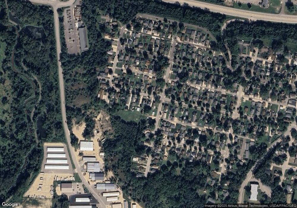
Map
Nearby Homes
- 430 Harrison St
- 717 Blaine St
- 1528 W 6th St
- 1330 Hillside Dr
- 1348 Hillside Dr
- 1227 W 4th St
- 910 W 4th St
- 1004 College Ave
- 1828 Perlich Ave Unit 2G
- 1050 Sturtevant St
- 815 W 4th St
- 1108 Hawthorne St
- 1125 Hewitt Blvd
- 1020 Hawthorne St
- 2820 N Service Dr
- 617 W 3rd St
- 1757 Cobblestone Ct
- 1606 Reichert Ave
- 113 Burnside Ave S
- 818 Hawthorne St
- 1903 W 6th St
- 1913 W 6th St
- 1903 1903 6th-Street-w
- 1917 W 6th St
- 620 Cleveland St
- 1923 W 6th St
- xxx Cleveland St
- 1863 W 6th St
- 626 Cleveland St
- 1929 W 6th St
- 1857 W 6th St
- 1906 W 6th St
- 1902 W 6th St
- 1912 W 6th St
- 619 Cleveland St
- 1912 1912 6th-Street-w
- 1916 W 6th St
- 623 Cleveland St
- 1933 W 6th St
- 1922 W 6th St
Your Personal Tour Guide
Ask me questions while you tour the home.