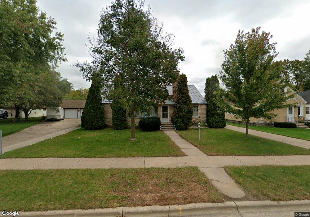
1907 Welsby Ave Stevens Point, WI 54481
Estimated Value: $246,000 - $269,247
4
Beds
2
Baths
--
Sq Ft
9,670
Sq Ft Lot
About This Home
This home is located at 1907 Welsby Ave, Stevens Point, WI 54481 and is currently estimated at $258,812. 1907 Welsby Ave is a home located in Portage County with nearby schools including Jefferson Elementary School, P.J. Jacobs Junior High School, and Stevens Point Area Senior High School.
Ownership History
Date
Name
Owned For
Owner Type
Purchase Details
Closed on
Oct 27, 2022
Sold by
Helbach Rachel A
Bought by
Peterson Neil E and Kolzow Kerri A
Current Estimated Value
Home Financials for this Owner
Home Financials are based on the most recent Mortgage that was taken out on this home.
Original Mortgage
$211,460
Outstanding Balance
$203,955
Interest Rate
6.38%
Mortgage Type
New Conventional
Estimated Equity
$54,857
Purchase Details
Closed on
Apr 1, 2021
Sold by
Boyden Edward C
Bought by
Helbach Rachel A
Create a Home Valuation Report for This Property
The Home Valuation Report is an in-depth analysis detailing your home's value as well as a comparison with similar homes in the area
Home Values in the Area
Average Home Value in this Area
Purchase History
| Date | Buyer | Sale Price | Title Company |
|---|---|---|---|
| Peterson Neil E | $221,000 | Point Title | |
| Helbach Rachel A | $160,000 | Point Title |
Source: Public Records
Mortgage History
| Date | Status | Borrower | Loan Amount |
|---|---|---|---|
| Open | Peterson Neil E | $211,460 |
Source: Public Records
Tax History
| Year | Tax Paid | Tax Assessment Tax Assessment Total Assessment is a certain percentage of the fair market value that is determined by local assessors to be the total taxable value of land and additions on the property. | Land | Improvement |
|---|---|---|---|---|
| 2024 | -- | $214,800 | $26,600 | $188,200 |
| 2023 | $0 | $214,800 | $26,600 | $188,200 |
| 2022 | $3,203 | $133,200 | $18,200 | $115,000 |
| 2021 | $3,095 | $133,200 | $18,200 | $115,000 |
| 2020 | $3,132 | $133,200 | $18,200 | $115,000 |
| 2019 | $3,083 | $133,200 | $18,200 | $115,000 |
| 2018 | $2,892 | $133,200 | $18,200 | $115,000 |
| 2017 | $2,820 | $133,200 | $18,200 | $115,000 |
| 2016 | $2,648 | $112,600 | $15,600 | $97,000 |
| 2015 | $2,678 | $112,600 | $15,600 | $97,000 |
| 2014 | $2,605 | $112,600 | $15,600 | $97,000 |
Source: Public Records
Map
Nearby Homes
- 2301 Illinois Ave
- 3025 Mc Culloch St
- 3009 Algoma St
- 2709 Patch St
- 2316 Wyatt Ave
- 2901 Michigan Ave Unit 2903
- 24 Hazelwood Dr
- 2617 Simonis St
- 1625 Main St
- 1532 Clark St
- 2812 Water St
- 1025 Wisconsin St Unit corner of Elk & Wisc
- 2165 Prairie St
- 1532 College Ave Unit 1101/1101A Rogers St
- 40 Hillcrest Dr
- 1942 Water St
- 2619 Sunset Blvd
- 825 Smith St
- 3283 Mary St
- 1225 Portage St
- 1817 Welsby Ave
- 1817 Welsby Ave
- 1900 Gilkay St
- 1906 Gilkay St
- 1832 Gilkay St
- 1912 Gilkay St
- 2600 Center St
- 2608 Center St
- 1908 Welsby Ave
- 1900 Welsby Ave
- 1809 Welsby Ave
- 2616 Center St
- 1832 Welsby Ave
- 1916 Welsby Ave
- 1824 Welsby Ave
- 1816 Gilkay St
- 2624 Center St
- 2516 Center St
- 2516 Center St
- 2516A Center St
Your Personal Tour Guide
Ask me questions while you tour the home.