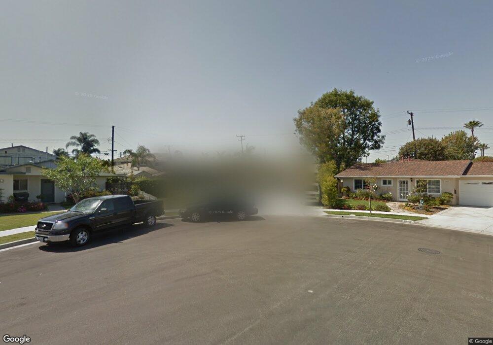
19071 Carp Cir Huntington Beach, CA 92646
Estimated Value: $1,256,000 - $1,645,000
5
Beds
3
Baths
2,214
Sq Ft
$662/Sq Ft
Est. Value
About This Home
This home is located at 19071 Carp Cir, Huntington Beach, CA 92646 and is currently estimated at $1,466,477, approximately $662 per square foot. 19071 Carp Cir is a home located in Orange County with nearby schools including Isojiro Oka Elementary, Talbert Middle School, and Huntington Beach High School.
Ownership History
Date
Name
Owned For
Owner Type
Purchase Details
Closed on
Mar 16, 2023
Sold by
Anderson Patrick R and Anderson Christy A
Bought by
Anderson Family Trust and Anderson
Current Estimated Value
Purchase Details
Closed on
Apr 2, 1999
Sold by
Hassay Nancy Ruth
Bought by
Anderson Patrick R
Home Financials for this Owner
Home Financials are based on the most recent Mortgage that was taken out on this home.
Original Mortgage
$238,500
Interest Rate
7.04%
Purchase Details
Closed on
Jun 18, 1998
Sold by
Lamb Earl A Trust and Lee William Lee
Bought by
Hassay Andrew S and Hassay Nancy Ruth
Create a Home Valuation Report for This Property
The Home Valuation Report is an in-depth analysis detailing your home's value as well as a comparison with similar homes in the area
Home Values in the Area
Average Home Value in this Area
Purchase History
| Date | Buyer | Sale Price | Title Company |
|---|---|---|---|
| Anderson Family Trust | -- | None Listed On Document | |
| Anderson Patrick R | -- | None Listed On Document | |
| Anderson Patrick R | $265,000 | North American Title Co | |
| Hassay Andrew S | $5,000 | First American Title Ins Co |
Source: Public Records
Mortgage History
| Date | Status | Borrower | Loan Amount |
|---|---|---|---|
| Previous Owner | Anderson Patrick R | $238,500 |
Source: Public Records
Tax History Compared to Growth
Tax History
| Year | Tax Paid | Tax Assessment Tax Assessment Total Assessment is a certain percentage of the fair market value that is determined by local assessors to be the total taxable value of land and additions on the property. | Land | Improvement |
|---|---|---|---|---|
| 2025 | $4,903 | $428,186 | $317,034 | $111,152 |
| 2024 | $4,903 | $419,791 | $310,818 | $108,973 |
| 2023 | $4,785 | $411,560 | $304,723 | $106,837 |
| 2022 | $4,712 | $403,491 | $298,748 | $104,743 |
| 2021 | $4,621 | $395,580 | $292,890 | $102,690 |
| 2020 | $4,593 | $391,524 | $289,886 | $101,638 |
| 2019 | $4,500 | $383,848 | $284,202 | $99,646 |
| 2018 | $4,413 | $376,322 | $278,629 | $97,693 |
| 2017 | $4,342 | $368,944 | $273,166 | $95,778 |
| 2016 | $4,159 | $361,710 | $267,810 | $93,900 |
| 2015 | $4,095 | $356,277 | $263,787 | $92,490 |
| 2014 | $4,013 | $349,299 | $258,620 | $90,679 |
Source: Public Records
Map
Nearby Homes
- 9850 Garfield Ave Unit 129
- 9850 Garfield Ave Unit 18
- 9850 Garfield Ave Unit 91
- 9850 Garfield Ave Unit 35
- 9850 Garfield Ave Unit 5
- 9850 Garfield Ave Unit 130
- 9850 Garfield Ave Unit 33
- 9462 Litchfield Dr
- 19251 Brookhurst St Unit 137
- 19251 Brookhurst St Unit 13
- 19251 Brookhurst St Unit 48
- 19251 Brookhurst St Unit 11
- 19251 Brookhurst St Unit 38
- 19251 Brookhurst St Unit 69
- 19251 Brookhurst St Unit 22
- 18820 Cordata St
- 19361 Brookhurst St Unit 87
- 19361 Brookhurst St Unit 50
- 19361 Brookhurst St Unit 184
- 19361 Brookhurst St Unit 22
- 19081 Carp Cir
- 19062 Carp Cir
- 19072 Tigerfish Cir
- 9632 Albacore Dr
- 9642 Albacore Dr
- 19082 Tigerfish Cir
- 9622 Albacore Dr
- 9662 Albacore Dr
- 19091 Carp Cir
- 19072 Carp Cir
- 9612 Albacore Dr
- 19092 Tigerfish Cir
- 19062 Tigerfish Cir
- 19082 Carp Cir
- 19101 Carp Cir Unit 1
- 19101 Carp Cir
- 19092 Carp Cir
- 19102 Tigerfish Cir
- 9682 Albacore Dr
- 9635 Albacore Dr