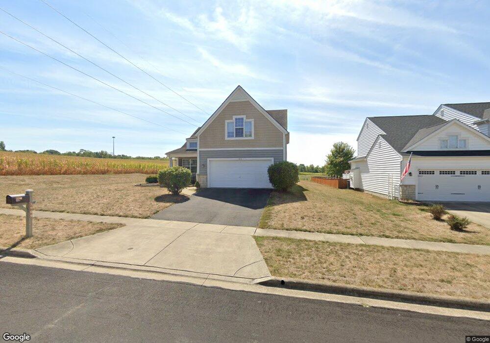
1908 Declaration Dr Lancaster, OH 43130
Estimated Value: $347,000 - $475,000
3
Beds
3
Baths
1,818
Sq Ft
$220/Sq Ft
Est. Value
About This Home
This home is located at 1908 Declaration Dr, Lancaster, OH 43130 and is currently estimated at $400,274, approximately $220 per square foot. 1908 Declaration Dr is a home located in Fairfield County with nearby schools including Thomas Ewing Junior High School, Lancaster High School, and St Bernadette Elementary School.
Ownership History
Date
Name
Owned For
Owner Type
Purchase Details
Closed on
Jan 27, 2006
Sold by
Diyanni Brothers Inc
Bought by
Tripp Todd A and Tripp Teresa A
Current Estimated Value
Home Financials for this Owner
Home Financials are based on the most recent Mortgage that was taken out on this home.
Original Mortgage
$157,484
Outstanding Balance
$86,987
Interest Rate
6.37%
Mortgage Type
Fannie Mae Freddie Mac
Estimated Equity
$313,287
Purchase Details
Closed on
May 25, 2005
Sold by
Dbi Land Co Llc
Bought by
Di Yanni Brothers Inc
Create a Home Valuation Report for This Property
The Home Valuation Report is an in-depth analysis detailing your home's value as well as a comparison with similar homes in the area
Home Values in the Area
Average Home Value in this Area
Purchase History
| Date | Buyer | Sale Price | Title Company |
|---|---|---|---|
| Tripp Todd A | $196,900 | None Available | |
| Di Yanni Brothers Inc | -- | -- |
Source: Public Records
Mortgage History
| Date | Status | Borrower | Loan Amount |
|---|---|---|---|
| Open | Tripp Todd A | $157,484 |
Source: Public Records
Tax History
| Year | Tax Paid | Tax Assessment Tax Assessment Total Assessment is a certain percentage of the fair market value that is determined by local assessors to be the total taxable value of land and additions on the property. | Land | Improvement |
|---|---|---|---|---|
| 2025 | $7,250 | $111,400 | $35,230 | $76,170 |
| 2024 | $7,250 | $80,650 | $10,570 | $70,080 |
| 2023 | $2,997 | $80,650 | $10,570 | $70,080 |
| 2022 | $3,014 | $80,650 | $10,570 | $70,080 |
| 2021 | $2,641 | $66,240 | $10,570 | $55,670 |
| 2020 | $2,534 | $66,240 | $10,570 | $55,670 |
| 2019 | $2,412 | $66,240 | $10,570 | $55,670 |
| 2018 | $2,543 | $68,910 | $12,340 | $56,570 |
| 2017 | $2,544 | $66,300 | $8,810 | $57,490 |
| 2016 | $2,480 | $66,300 | $8,810 | $57,490 |
| 2015 | $2,455 | $63,700 | $8,810 | $54,890 |
| 2014 | $2,341 | $63,700 | $8,810 | $54,890 |
| 2013 | $2,341 | $63,700 | $8,810 | $54,890 |
Source: Public Records
Map
Nearby Homes
- 1760 Rainbow Dr NE
- 0 Tiki Ln
- 1804 Pleasantville Rd
- 0 Old Millersport Rd NE Unit 225010386
- 2370 Scenic Dr NE
- 1189 Ridge Rd NE
- 0 Lucille Dr NE
- 2765 Graham Dr NE
- 1916 Country Place
- 1434 Pleasantville Rd
- 2135 William T Cir
- 1286 Stonehill Ln
- 1275 Stonington Ct Unit 1275
- 1306 Shumaker Ave
- 1234 Stonehouse Ct Unit 1234
- 1285 Huffer Ave
- 245 Overlook Dr NE
- 0 Tschopp Rd NE Unit Lot 17 225027320
- 0 Tschopp Rd NE Unit Lot 33 225027324
- 0 Stringtown Rd NW
- 1900 Declaration Dr
- 1854 Declaration Dr
- 1848 Declaration Dr W
- 1848 Declaration Dr
- 1858 Independence Blvd
- 1896 Independence Blvd
- 1842 Declaration Dr W
- 1866 Independence Blvd
- 1836 Declaration Dr W
- 1855 Independence Blvd
- 1855 Declaration Dr W
- 1863 Independence Blvd
- 1828 Declaration Dr W
- 1835 Declaration Dr W
- 1835 Declaration Dr
- 1827 Declaration Dr
- 1814 Declaration Dr
- 1827 Declaration Dr W
- 1802 Declaration Dr W
- 1802 Declaration Dr
Your Personal Tour Guide
Ask me questions while you tour the home.