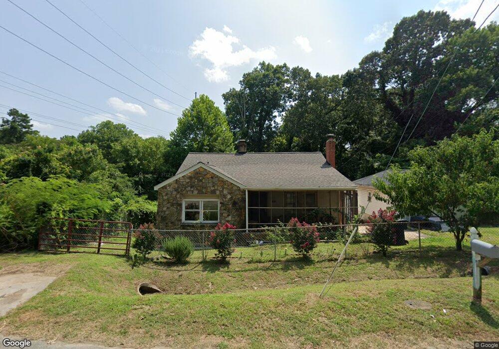
1908 Franklin Ave High Point, NC 27260
Greater High Point NeighborhoodEstimated Value: $126,511 - $176,000
2
Beds
2
Baths
969
Sq Ft
$155/Sq Ft
Est. Value
About This Home
This home is located at 1908 Franklin Ave, High Point, NC 27260 and is currently estimated at $149,878, approximately $154 per square foot. 1908 Franklin Ave is a home located in Guilford County with nearby schools including Triangle Lake Montessori School, Southwest Guilford Middle School, and Southwest Guilford High School.
Ownership History
Date
Name
Owned For
Owner Type
Purchase Details
Closed on
Nov 7, 2012
Sold by
Unity Builders Inc
Bought by
Nc Property Network
Current Estimated Value
Purchase Details
Closed on
Oct 1, 2012
Sold by
Wells Fargo Bank
Bought by
Unity Builders Inc
Purchase Details
Closed on
Mar 20, 2012
Sold by
Bowman Magaline F and Bowman Robet
Bought by
Wells Fargo Bank Na
Purchase Details
Closed on
Feb 5, 1993
Bought by
Bowman Magaline F
Create a Home Valuation Report for This Property
The Home Valuation Report is an in-depth analysis detailing your home's value as well as a comparison with similar homes in the area
Home Values in the Area
Average Home Value in this Area
Purchase History
| Date | Buyer | Sale Price | Title Company |
|---|---|---|---|
| Nc Property Network | $3,000 | None Available | |
| Unity Builders Inc | -- | None Available | |
| Wells Fargo Bank Na | $21,000 | None Available | |
| Bowman Magaline F | $33,000 | -- |
Source: Public Records
Tax History
| Year | Tax Paid | Tax Assessment Tax Assessment Total Assessment is a certain percentage of the fair market value that is determined by local assessors to be the total taxable value of land and additions on the property. | Land | Improvement |
|---|---|---|---|---|
| 2025 | $827 | $56,400 | $8,000 | $48,400 |
| 2024 | $827 | $56,400 | $8,000 | $48,400 |
| 2023 | $827 | $56,400 | $8,000 | $48,400 |
| 2022 | $812 | $56,400 | $8,000 | $48,400 |
| 2021 | $559 | $36,700 | $5,000 | $31,700 |
| 2020 | $550 | $36,700 | $5,000 | $31,700 |
| 2019 | $552 | $36,700 | $0 | $0 |
| 2018 | $550 | $36,700 | $0 | $0 |
| 2017 | $554 | $36,700 | $0 | $0 |
| 2016 | $581 | $37,800 | $0 | $0 |
| 2015 | $571 | $37,800 | $0 | $0 |
| 2014 | $582 | $37,800 | $0 | $0 |
Source: Public Records
Map
Nearby Homes
- 1111 Winslow St
- 1806 Franklin Ave
- 1809 Franklin Ave
- 1110 Worth St
- 2317 Purdy Ave
- 811 Worth St
- 430 New St
- 1601 E Green Dr
- 1908 Leonard Ave
- 511 Hines St
- 1423 E Commerce Ave
- 1314 Franklin Ave
- 640 Wesley Dr
- 650 Wesley Dr
- 505 Kent Ct
- 230 Windley St
- 412 Meredith St
- 410 Meredith St
- 1614 Oneka Ave
- 1224 S Downing St
- 1904 Franklin Ave
- 1902 Franklin Ave
- 1909 Franklin Ave
- 1907 Franklin Ave
- 1900 Franklin Ave
- 1109 Winslow St
- 1905 Franklin Ave
- 1903 Franklin Ave
- 1111 Brentwood St
- 1004 Brentwood Terrace
- 1810 Franklin Ave
- 1113 Winslow St
- 1105 Brentwood St
- 2307 E Green Dr
- 1811 Franklin Ave
- 2305 E Green Dr
- 2303 E Green Dr
- 1106 Winslow St
- 1002 Brentwood Terrace
- 1808 Franklin Ave
Your Personal Tour Guide
Ask me questions while you tour the home.