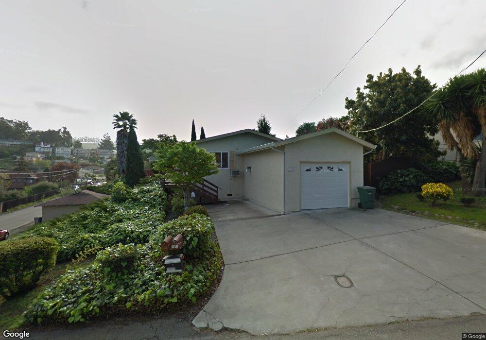
1908 Placer Dr San Leandro, CA 94578
Bay-O-Vista NeighborhoodEstimated Value: $685,000 - $781,000
2
Beds
1
Bath
810
Sq Ft
$885/Sq Ft
Est. Value
About This Home
This home is located at 1908 Placer Dr, San Leandro, CA 94578 and is currently estimated at $716,829, approximately $884 per square foot. 1908 Placer Dr is a home located in Alameda County with nearby schools including Jefferson Elementary School, Bancroft Middle School, and San Leandro High School.
Ownership History
Date
Name
Owned For
Owner Type
Purchase Details
Closed on
Sep 29, 2020
Sold by
Rodrigues Mark and Dolores M Rodrigues Revocable
Bought by
Kurita Ken I
Current Estimated Value
Home Financials for this Owner
Home Financials are based on the most recent Mortgage that was taken out on this home.
Original Mortgage
$501,500
Outstanding Balance
$446,058
Interest Rate
2.9%
Mortgage Type
New Conventional
Estimated Equity
$270,772
Purchase Details
Closed on
Dec 14, 2007
Sold by
Rodrigues Dolores Maxine and Rodrigues Dolores M
Bought by
Rodrigues Dolores Maxine and Rodrigues Mark
Create a Home Valuation Report for This Property
The Home Valuation Report is an in-depth analysis detailing your home's value as well as a comparison with similar homes in the area
Home Values in the Area
Average Home Value in this Area
Purchase History
| Date | Buyer | Sale Price | Title Company |
|---|---|---|---|
| Kurita Ken I | $590,000 | Lawyers Title Company | |
| Rodrigues Dolores Maxine | -- | None Available |
Source: Public Records
Mortgage History
| Date | Status | Borrower | Loan Amount |
|---|---|---|---|
| Open | Kurita Ken I | $501,500 |
Source: Public Records
Tax History
| Year | Tax Paid | Tax Assessment Tax Assessment Total Assessment is a certain percentage of the fair market value that is determined by local assessors to be the total taxable value of land and additions on the property. | Land | Improvement |
|---|---|---|---|---|
| 2025 | $8,385 | $638,627 | $191,588 | $447,039 |
| 2024 | $8,385 | $626,107 | $187,832 | $438,275 |
| 2023 | $8,407 | $613,835 | $184,150 | $429,685 |
| 2022 | $8,156 | $601,800 | $180,540 | $421,260 |
| 2021 | $7,927 | $590,000 | $177,000 | $413,000 |
| 2020 | $3,302 | $219,628 | $87,851 | $131,777 |
| 2019 | $3,197 | $215,322 | $86,129 | $129,193 |
| 2018 | $3,082 | $211,100 | $84,440 | $126,660 |
| 2017 | $3,040 | $206,962 | $82,785 | $124,177 |
| 2016 | $2,876 | $202,905 | $81,162 | $121,743 |
| 2015 | $2,819 | $199,857 | $79,943 | $119,914 |
| 2014 | $2,797 | $195,943 | $78,377 | $117,566 |
Source: Public Records
Map
Nearby Homes
- 14644 Saturn Dr
- 0 Saturn Dr
- 14670 Midland Rd
- 2245 Sol St
- 1269 Gabriel Ct
- 14831 Bancroft Ave Unit Space 27
- 0 Montrose Dr
- 14240 Rose Dr
- 15065 Hesperian Blvd Unit 22
- 15675 Liberty St
- 890 Linwood Way
- 1592 Oriole Ave
- 1316 135th Ave
- 1521 159th Ave
- 15933 Cambrian Dr
- 2399 E 14th St Unit 66
- 2399 E 14th St Unit 24
- 2399 E 14th St Unit 112
- 2399 E 14th St Unit 44
- 1410 Thrush Ave Unit 3
- 2018 Joan Dr
- 1916 Placer Dr
- 0 Joan Dr Unit 40628934
- 0 Joan Dr Unit 40769152
- 1924 Placer Dr
- 1907 Placer Dr
- 2020 Joan Dr
- 1932 Placer Dr
- 2019 Altamont Rd
- 2010 Howe Dr
- 2020 Howe Dr
- 1960 Joan Dr
- 2003 Altamont Rd
- 1987 Joan Dr
- 1915 Placer Dr
- 1940 Placer Dr
- 1969 Joan Dr
- 2026 Howe Dr
- 2025 Altamont Rd
- 1923 Placer Dr
Your Personal Tour Guide
Ask me questions while you tour the home.