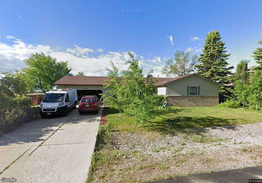
1908 Rolling View Dr Loveland, CO 80537
Estimated Value: $552,307 - $691,000
3
Beds
2
Baths
1,899
Sq Ft
$328/Sq Ft
Est. Value
About This Home
This home is located at 1908 Rolling View Dr, Loveland, CO 80537 and is currently estimated at $622,327, approximately $327 per square foot. 1908 Rolling View Dr is a home located in Larimer County with nearby schools including Carrie Martin Elementary School, Bill Reed Middle School, and Thompson Valley High School.
Ownership History
Date
Name
Owned For
Owner Type
Purchase Details
Closed on
Feb 23, 1996
Sold by
Hunt Steven M
Bought by
Ponce Leonard A and Ponce Kaori F
Current Estimated Value
Home Financials for this Owner
Home Financials are based on the most recent Mortgage that was taken out on this home.
Original Mortgage
$95,900
Interest Rate
7.74%
Purchase Details
Closed on
May 1, 1992
Sold by
Sperry Donna R
Bought by
Hunt Steven M
Create a Home Valuation Report for This Property
The Home Valuation Report is an in-depth analysis detailing your home's value as well as a comparison with similar homes in the area
Home Values in the Area
Average Home Value in this Area
Purchase History
| Date | Buyer | Sale Price | Title Company |
|---|---|---|---|
| Ponce Leonard A | $135,900 | -- | |
| Hunt Steven M | $103,000 | -- |
Source: Public Records
Mortgage History
| Date | Status | Borrower | Loan Amount |
|---|---|---|---|
| Previous Owner | Ponce Leonard A | $95,900 |
Source: Public Records
Tax History Compared to Growth
Tax History
| Year | Tax Paid | Tax Assessment Tax Assessment Total Assessment is a certain percentage of the fair market value that is determined by local assessors to be the total taxable value of land and additions on the property. | Land | Improvement |
|---|---|---|---|---|
| 2025 | $2,763 | $37,621 | $9,916 | $27,705 |
| 2024 | $2,667 | $37,621 | $9,916 | $27,705 |
| 2022 | $2,135 | $27,084 | $4,149 | $22,935 |
| 2021 | $2,191 | $27,864 | $4,269 | $23,595 |
| 2020 | $2,072 | $26,341 | $4,269 | $22,072 |
| 2019 | $2,036 | $26,341 | $4,269 | $22,072 |
| 2018 | $1,931 | $23,695 | $4,298 | $19,397 |
| 2017 | $1,661 | $23,695 | $4,298 | $19,397 |
| 2016 | $1,315 | $18,133 | $4,752 | $13,381 |
| 2015 | $1,304 | $18,130 | $4,750 | $13,380 |
| 2014 | $1,231 | $16,550 | $4,750 | $11,800 |
Source: Public Records
Map
Nearby Homes
- 4721 Maggie Ct
- 3444 Godwit Dr
- 3328 Auklet Dr
- 3100 Newfound Lake Rd
- 3109 Newfound Lake Rd
- 3083 Newfound Lake Rd
- 3083 Newfound Lake Rd
- 3010 Newfound Lake Rd
- 1467 Harebell St
- 2751 Prairie Flax St
- 3051 Newfound Lake Rd
- 1550 Harebell St
- 2748 Prairie Flax St
- 3039 Newfound Lake Rd
- 3039 Newfound Lake Rd
- 4601 N Sunshine Ct
- 3027 Newfound Lake Rd
- 1540 Stoneseed St
- Haywood II Plan at Heron Lakes - Toll Brothers at Heron Lakes
- Boyd Plan at Heron Lakes - Toll Brothers at Heron Lakes
- 1916 Rolling View Dr
- 1900 Rolling View Dr
- 1909 Rolling View Dr
- 1901 Rolling View Dr
- 4808 High Country Rd
- 1824 Rolling View Dr
- 4724 High Country Rd
- 1825 Rolling View Dr
- 4716 High Country Rd
- 1816 Rolling View Dr
- 4717 Crestridge Ct
- 1817 Rolling View Dr
- 4708 High Country Rd
- 1808 Rolling View Dr
- 4717 High Country Rd
- 4725 High Country Rd
- 4809 High Country Rd
- 4716 Crestridge Ct
- 4709 High Country Rd
- 1809 Rolling View Dr