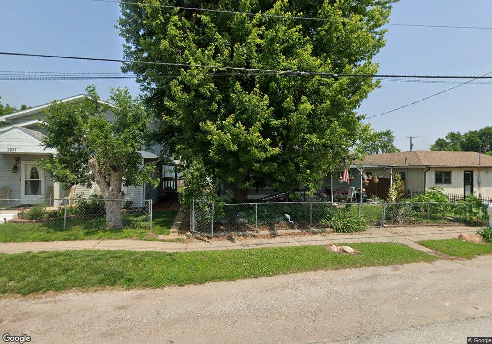
1909 Breese Ave Muscatine, IA 52761
Estimated Value: $101,000 - $113,000
3
Beds
1
Bath
864
Sq Ft
$123/Sq Ft
Est. Value
About This Home
This home is located at 1909 Breese Ave, Muscatine, IA 52761 and is currently estimated at $106,461, approximately $123 per square foot. 1909 Breese Ave is a home located in Muscatine County with nearby schools including Franklin Elementary School, Susan Clark Junior High School, and Muscatine High School.
Ownership History
Date
Name
Owned For
Owner Type
Purchase Details
Closed on
Jan 21, 2014
Sold by
Mealy Loretta B
Bought by
Demler Dawn E
Current Estimated Value
Home Financials for this Owner
Home Financials are based on the most recent Mortgage that was taken out on this home.
Original Mortgage
$11,034
Outstanding Balance
$8,362
Interest Rate
4.49%
Mortgage Type
New Conventional
Estimated Equity
$98,099
Purchase Details
Closed on
Mar 14, 2007
Sold by
Galaxy Trucking Inc
Bought by
Mealy Terrence L
Create a Home Valuation Report for This Property
The Home Valuation Report is an in-depth analysis detailing your home's value as well as a comparison with similar homes in the area
Home Values in the Area
Average Home Value in this Area
Purchase History
| Date | Buyer | Sale Price | Title Company |
|---|---|---|---|
| Demler Dawn E | $47,500 | None Available | |
| Mealy Terrence L | -- | None Available |
Source: Public Records
Mortgage History
| Date | Status | Borrower | Loan Amount |
|---|---|---|---|
| Open | Demler Dawn E | $11,034 |
Source: Public Records
Tax History Compared to Growth
Tax History
| Year | Tax Paid | Tax Assessment Tax Assessment Total Assessment is a certain percentage of the fair market value that is determined by local assessors to be the total taxable value of land and additions on the property. | Land | Improvement |
|---|---|---|---|---|
| 2025 | $1,014 | $79,240 | $9,250 | $69,990 |
| 2024 | $1,014 | $74,600 | $9,250 | $65,350 |
| 2023 | $420 | $75,864 | $9,275 | $66,589 |
| 2022 | $1,106 | $70,570 | $8,750 | $61,820 |
| 2021 | $1,106 | $66,610 | $8,750 | $57,860 |
| 2020 | $882 | $62,140 | $7,500 | $54,640 |
| 2019 | $1,000 | $57,060 | $0 | $0 |
| 2018 | $974 | $56,720 | $0 | $0 |
| 2017 | $974 | $58,310 | $0 | $0 |
| 2016 | $1,046 | $58,310 | $0 | $0 |
| 2015 | $1,046 | $58,860 | $0 | $0 |
| 2014 | $1,066 | $58,860 | $0 | $0 |
Source: Public Records
Map
Nearby Homes
- 2108 Breese Ave
- 609 Liberty St
- LOTS 30-34 Evans St
- 111 Gilbert St
- 1903 Hershey Ave
- 1827 Hershey Ave
- 1708 Schley Ave
- 0 Parcel 1302108019 (Busch St)
- 0 Towhead Island Unit 23-716
- 1603 Lucas St
- 1908 Sampson St
- 900 W 3rd St
- 1909 Wallace St
- 0 High Street Parcel
- 208 Fletcher Ave
- 2207 Lucas St
- 701 W Mississippi Dr
- 1143 Logan St
- 613 W 5th St
- 836 Newell Ave
- 1907 Breese Ave
- 1911 Breese Ave
- 1903 Breese Ave
- 1913 Breese Ave
- 1901 Breese Ave
- 1919 Breese Ave
- 1904 Oneida Ave
- 1908 Oneida Ave
- 1923 Breese Ave
- 704 Division St
- 1910 Breese Ave
- 1916 Breese Ave
- 1900 Oneida Ave
- 1912 Oneida Ave
- 1924 Breese Ave
- 2000 Oneida Ave
- 501 Division St
- 2003 Breese Ave
- 2004 Breese Ave
- 2002 Oneida Ave