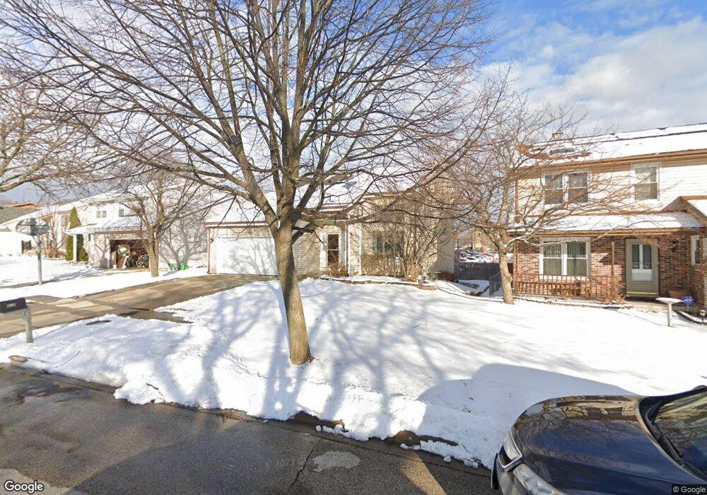
1909 Brookside Ln Hoffman Estates, IL 60169
South Hoffman Estates NeighborhoodEstimated Value: $393,000 - $450,000
3
Beds
2
Baths
2,027
Sq Ft
$206/Sq Ft
Est. Value
About This Home
This home is located at 1909 Brookside Ln, Hoffman Estates, IL 60169 and is currently estimated at $418,449, approximately $206 per square foot. 1909 Brookside Ln is a home located in Cook County with nearby schools including Neil Armstrong Elementary School, Dwight D Eisenhower Junior High School, and Hoffman Estates High School.
Ownership History
Date
Name
Owned For
Owner Type
Purchase Details
Closed on
Aug 22, 2018
Sold by
Hansoti Sanjay J and Hansoti Ami S
Bought by
Hansoti Sanjay J and The Sanjay J Hansoti Living Trust
Current Estimated Value
Purchase Details
Closed on
Aug 29, 1994
Sold by
Sherman Mark R and Sherman Joanne M
Bought by
Hansoti Sanjay J and Hansoti Ami S
Home Financials for this Owner
Home Financials are based on the most recent Mortgage that was taken out on this home.
Original Mortgage
$110,000
Interest Rate
8.59%
Mortgage Type
Purchase Money Mortgage
Create a Home Valuation Report for This Property
The Home Valuation Report is an in-depth analysis detailing your home's value as well as a comparison with similar homes in the area
Home Values in the Area
Average Home Value in this Area
Purchase History
| Date | Buyer | Sale Price | Title Company |
|---|---|---|---|
| Hansoti Sanjay J | -- | Attorney | |
| Hansoti Sanjay J | $179,500 | -- |
Source: Public Records
Mortgage History
| Date | Status | Borrower | Loan Amount |
|---|---|---|---|
| Closed | Hansoti Sanjay J | $110,000 |
Source: Public Records
Tax History
| Year | Tax Paid | Tax Assessment Tax Assessment Total Assessment is a certain percentage of the fair market value that is determined by local assessors to be the total taxable value of land and additions on the property. | Land | Improvement |
|---|---|---|---|---|
| 2025 | $8,004 | $43,001 | $5,022 | $37,979 |
| 2024 | $8,004 | $32,051 | $4,565 | $27,486 |
| 2023 | $7,690 | $32,051 | $4,565 | $27,486 |
| 2022 | $7,690 | $32,051 | $4,565 | $27,486 |
| 2021 | $8,122 | $30,236 | $7,189 | $23,047 |
| 2020 | $8,066 | $30,236 | $7,189 | $23,047 |
| 2019 | $9,544 | $36,029 | $7,189 | $28,840 |
| 2018 | $6,875 | $24,519 | $6,276 | $18,243 |
| 2017 | $6,772 | $24,519 | $6,276 | $18,243 |
| 2016 | $6,561 | $24,519 | $6,276 | $18,243 |
| 2015 | $6,008 | $21,329 | $5,478 | $15,851 |
| 2014 | $6,303 | $22,545 | $5,478 | $17,067 |
| 2013 | $6,123 | $22,545 | $5,478 | $17,067 |
Source: Public Records
Map
Nearby Homes
- 1587 Brookside Dr
- 1880 Bonnie Ln Unit 416
- 1612 Islandview Ct
- 1659 Islandview Ct
- 1769 Sessions Walk Unit C
- 1724 Fayette Walk Unit J
- 1712 Fayette Walk Unit D
- 1975 Windsong Dr Unit 333E1
- 2021 Kensington Ln Unit 3004
- 2027 Kensington Ln Unit 3001
- 2025 Kensington Ln Unit 3002
- 2023 Kensington Ln Unit 3003
- 1026 Denham Place Unit 1
- 1933 Williamsburg Dr Unit 1
- 1975 Leiter Way Unit 12002
- 1982 Leiter Way Unit 13004
- 1985 Leiter Way Unit 1102
- 1988 Leiter Way Unit 13001
- 1979 Leiter Way Unit 12004
- 1981 Leiter Way Unit 12005
- 1907 Brookside Ln
- 1911 Brookside Ln
- 1913 Brookside Ln
- 1905 Brookside Ln
- 1800 Bonnie Ln Unit 223
- 1800 Bonnie Ln Unit 304
- 1915 Brookside Ln
- 1903 Brookside Ln
- 1904 Brookside Ln
- 1921 Brookside Ln Unit 4
- 1924 Brookside Ln
- 1919 Brookside Ln Unit 4
- 1902 Brookside Ln
- 1901 Brookside Ln
- 1917 Brookside Ln
- 1925 Brookside Ln
- 1934 Brookside Ln
- 1900 Brookside Ln
- 1591 Brookside Dr
- 1899 Brookside Ln Unit 4
Your Personal Tour Guide
Ask me questions while you tour the home.