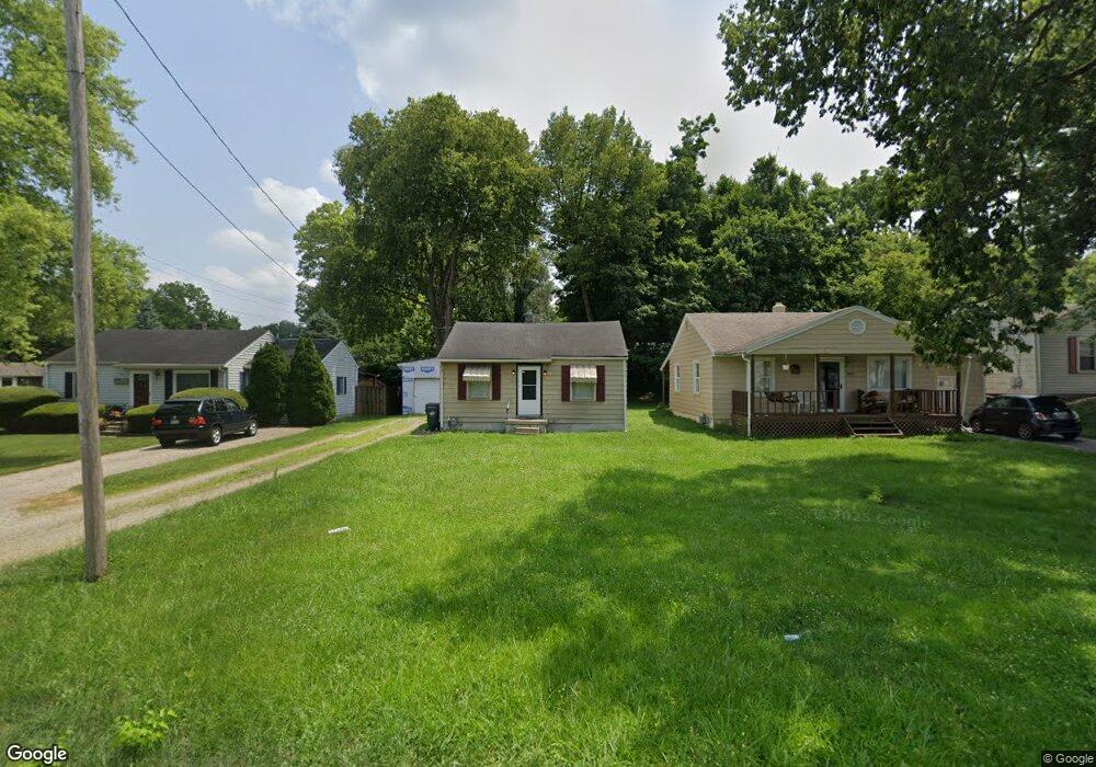
1909 Dix Rd Middletown, OH 45042
Springhill NeighborhoodEstimated Value: $87,000 - $112,000
2
Beds
1
Bath
624
Sq Ft
$165/Sq Ft
Est. Value
About This Home
This home is located at 1909 Dix Rd, Middletown, OH 45042 and is currently estimated at $102,899, approximately $164 per square foot. 1909 Dix Rd is a home located in Butler County with nearby schools including Miller Ridge Elementary School, Highview 6th Grade Center, and Middletown Middle School.
Ownership History
Date
Name
Owned For
Owner Type
Purchase Details
Closed on
Oct 9, 2017
Sold by
Farquer Janet and Farquer Don
Bought by
Olson Timothy A
Current Estimated Value
Purchase Details
Closed on
Apr 14, 2009
Sold by
Secretary Of Housing & Urban Development
Bought by
Farquer Donald and Farquer Janet
Purchase Details
Closed on
Oct 31, 2008
Sold by
Wells Fargo Bank Na
Bought by
Secretary Of Housing & Urban Development
Purchase Details
Closed on
Oct 14, 2008
Sold by
Spence Brian L
Bought by
Wells Fargo Bank Na
Purchase Details
Closed on
Jan 22, 1997
Sold by
Tobias Bonnie L
Bought by
Spence Brian L
Home Financials for this Owner
Home Financials are based on the most recent Mortgage that was taken out on this home.
Original Mortgage
$51,943
Interest Rate
7.66%
Mortgage Type
FHA
Create a Home Valuation Report for This Property
The Home Valuation Report is an in-depth analysis detailing your home's value as well as a comparison with similar homes in the area
Home Values in the Area
Average Home Value in this Area
Purchase History
| Date | Buyer | Sale Price | Title Company |
|---|---|---|---|
| Olson Timothy A | $13,000 | None Available | |
| Farquer Donald | $14,500 | Lakeside Title & Escrow Agen | |
| Secretary Of Housing & Urban Development | -- | None Available | |
| Wells Fargo Bank Na | $34,600 | None Available | |
| Spence Brian L | $51,500 | -- |
Source: Public Records
Mortgage History
| Date | Status | Borrower | Loan Amount |
|---|---|---|---|
| Previous Owner | Spence Brian L | $51,943 |
Source: Public Records
Tax History
| Year | Tax Paid | Tax Assessment Tax Assessment Total Assessment is a certain percentage of the fair market value that is determined by local assessors to be the total taxable value of land and additions on the property. | Land | Improvement |
|---|---|---|---|---|
| 2025 | $1,113 | $21,010 | $3,980 | $17,030 |
| 2024 | $1,113 | $21,010 | $3,980 | $17,030 |
| 2023 | $1,107 | $21,000 | -- | $21,000 |
| 2022 | $862 | $14,460 | $3,980 | $10,480 |
| 2021 | $829 | $14,460 | $3,980 | $10,480 |
| 2020 | $864 | $14,460 | $3,980 | $10,480 |
| 2019 | $642 | $8,860 | $4,070 | $4,790 |
| 2018 | $574 | $8,860 | $4,070 | $4,790 |
| 2017 | $811 | $8,860 | $4,070 | $4,790 |
| 2016 | $749 | $7,580 | $4,070 | $3,510 |
| 2015 | $506 | $7,580 | $4,070 | $3,510 |
| 2014 | $748 | $7,580 | $4,070 | $3,510 |
| 2013 | $748 | $8,050 | $5,200 | $2,850 |
Source: Public Records
Map
Nearby Homes
- 3910 Riverview Ave
- 4008 Lisa Ln
- 2204 Hawthorne St
- 3504 Jewell Ave
- 2316 Byron St
- 4211 Vannest Ave
- 4235 Vannest Ave
- 3220 Illinois Ave
- 3218 Illinois Ave
- 3214 Illinois Ave
- 3119 Tytus Ave
- 3113 Ohio Ave
- 3200 Illinois Ave
- 3206 Bexley Dr
- 3101 Manchester Rd
- 3207 Raymond Dr
- 3006 Illinois Ave
- 3109 Bexley Dr
- 3210 Wildwood Rd
- 1047 Golfview Rd
- 1907 Dix Rd
- 1911 Dix Rd
- 1905 Dix Rd
- 3912 Riverview Ave
- 1903 Dix Rd
- 3904 Riverview Ave
- 3911 Riverview Ave
- 3909 Riverview Ave
- 3914 Riverview Ave
- 3907 Riverview Ave
- 1906 Dix Rd
- 3913 Riverview Ave
- 1821 Dix Rd
- 1902 Dix Rd
- 3808 Vannest Ave
- 3900 Riverview Ave
- 3810 Vannest Ave
- 3915 Riverview Ave
- 1900 Dix Rd
- 3917 Riverview Ave
Your Personal Tour Guide
Ask me questions while you tour the home.