Estimated Value: $109,437 - $119,000
3
Beds
1
Bath
775
Sq Ft
$147/Sq Ft
Est. Value
About This Home
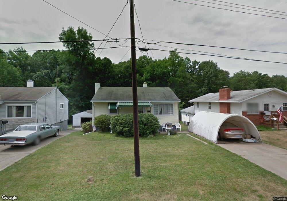
This home is located at 1909 James St, Niles, OH 44446 and is currently estimated at $114,109, approximately $147 per square foot. 1909 James St is a home located in Trumbull County with nearby schools including Niles Primary School, Niles Intermediate School, and Niles Middle School.
Ownership History
Date
Name
Owned For
Owner Type
Purchase Details
Closed on
May 2, 2008
Sold by
Lazear Loren and Lazear Flora
Bought by
Konsol Hiedi L
Current Estimated Value
Home Financials for this Owner
Home Financials are based on the most recent Mortgage that was taken out on this home.
Original Mortgage
$65,177
Outstanding Balance
$40,645
Interest Rate
5.93%
Mortgage Type
FHA
Estimated Equity
$73,464
Purchase Details
Closed on
Jan 1, 1990
Sold by
Matuszwski Bonnie
Bought by
Mary Mary A and Mary S
Create a Home Valuation Report for This Property
The Home Valuation Report is an in-depth analysis detailing your home's value as well as a comparison with similar homes in the area
Home Values in the Area
Average Home Value in this Area
Purchase History
| Date | Buyer | Sale Price | Title Company |
|---|---|---|---|
| Konsol Hiedi L | $66,325 | American Land Title Agency I | |
| Mary Mary A | -- | -- |
Source: Public Records
Mortgage History
| Date | Status | Borrower | Loan Amount |
|---|---|---|---|
| Open | Konsol Hiedi L | $65,177 |
Source: Public Records
Tax History
| Year | Tax Paid | Tax Assessment Tax Assessment Total Assessment is a certain percentage of the fair market value that is determined by local assessors to be the total taxable value of land and additions on the property. | Land | Improvement |
|---|---|---|---|---|
| 2024 | $1,122 | $26,640 | $3,680 | $22,960 |
| 2023 | $1,111 | $26,640 | $3,680 | $22,960 |
| 2022 | $956 | $19,570 | $3,680 | $15,890 |
| 2021 | $1,004 | $19,570 | $3,680 | $15,890 |
| 2020 | $1,013 | $19,570 | $3,680 | $15,890 |
| 2019 | $986 | $18,140 | $3,680 | $14,460 |
| 2018 | $983 | $18,140 | $3,680 | $14,460 |
| 2017 | $978 | $18,140 | $3,680 | $14,460 |
| 2016 | $1,071 | $19,680 | $3,680 | $16,000 |
| 2015 | $1,059 | $19,680 | $3,680 | $16,000 |
| 2014 | $1,063 | $19,680 | $3,680 | $16,000 |
| 2013 | $1,059 | $20,690 | $3,680 | $17,010 |
Source: Public Records
Map
Nearby Homes
- 0 James St
- 1919 Carnegie Heights Dr
- 126 S Rhodes Ave
- 166 Oak Knoll St SE
- 2243 N Glenwood Ave
- 1442 Youll St
- 45 Summit Ave
- 352 N Rhodes Ave
- 21 Summit Ave
- 340 Mcevoy Ct
- 32 Summit Ave
- 1236 Robbins Ave
- 1436 Clinton St
- 311 High Ave
- 307 Peffer Ave
- 1675 Roosevelt Ave
- 325 Nebraska Ave
- 29 S Bentley Ave
- 2847 Youngstown Ave
- 2218 Crestmont Dr
- 1901 James St
- 1913 James St
- 1917 James St
- 223 S Carnegie Ave
- 1914 James St
- 1914 James St
- 1815 James St
- 217 S Carnegie Ave
- 1933 James St
- 1922 James St
- 220 S Carnegie Ave
- 1928 James St
- 1932 James St
- 1812 James St
- 1907 Cardigan St
- 1911 Cardigan St
- 1937 James St
- 1917 Cardigan St
- 1938 James St
- 1811 James St
Your Personal Tour Guide
Ask me questions while you tour the home.