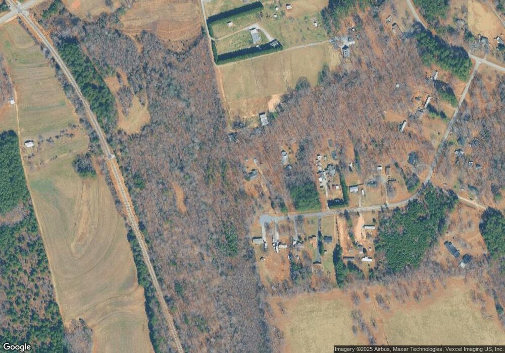
1909 Rollins Dr Catawba, NC 28609
Estimated Value: $251,000 - $418,000
3
Beds
2
Baths
1,456
Sq Ft
$217/Sq Ft
Est. Value
About This Home
This home is located at 1909 Rollins Dr, Catawba, NC 28609 and is currently estimated at $316,420, approximately $217 per square foot. 1909 Rollins Dr is a home located in Catawba County with nearby schools including Bandys High School, Catawba Elementary School, and Mill Creek Middle School.
Ownership History
Date
Name
Owned For
Owner Type
Purchase Details
Closed on
Jul 1, 2024
Sold by
Fisher Calvin and Fisher Calvin Ray
Bought by
Deal Wendy
Current Estimated Value
Home Financials for this Owner
Home Financials are based on the most recent Mortgage that was taken out on this home.
Original Mortgage
$150,000
Outstanding Balance
$145,822
Interest Rate
7.02%
Mortgage Type
New Conventional
Estimated Equity
$170,598
Purchase Details
Closed on
May 1, 1982
Bought by
Fisher Calvin and Fisher Edith M
Create a Home Valuation Report for This Property
The Home Valuation Report is an in-depth analysis detailing your home's value as well as a comparison with similar homes in the area
Home Values in the Area
Average Home Value in this Area
Purchase History
| Date | Buyer | Sale Price | Title Company |
|---|---|---|---|
| Deal Wendy | $250,000 | None Listed On Document | |
| Fisher Calvin | $7,500 | -- |
Source: Public Records
Mortgage History
| Date | Status | Borrower | Loan Amount |
|---|---|---|---|
| Open | Deal Wendy | $150,000 |
Source: Public Records
Tax History Compared to Growth
Tax History
| Year | Tax Paid | Tax Assessment Tax Assessment Total Assessment is a certain percentage of the fair market value that is determined by local assessors to be the total taxable value of land and additions on the property. | Land | Improvement |
|---|---|---|---|---|
| 2025 | $670 | $257,600 | $23,600 | $234,000 |
| 2024 | $670 | $257,600 | $23,600 | $234,000 |
| 2023 | $657 | $140,800 | $23,600 | $117,200 |
| 2022 | $548 | $140,800 | $23,600 | $117,200 |
| 2021 | $548 | $140,800 | $23,600 | $117,200 |
| 2020 | $548 | $140,800 | $23,600 | $117,200 |
| 2019 | $548 | $77,700 | $0 | $0 |
| 2018 | $898 | $131,100 | $23,200 | $107,900 |
| 2017 | $898 | $0 | $0 | $0 |
| 2016 | $898 | $0 | $0 | $0 |
| 2015 | $766 | $131,120 | $23,200 | $107,920 |
| 2014 | $766 | $127,600 | $20,500 | $107,100 |
Source: Public Records
Map
Nearby Homes
- 1774 Smyrna Ln
- 0000 Hopewell Church Rd
- 1425 Ardmore Dr
- 7187 Sherrills Ford Rd
- 1432 Ardmore Dr
- 1436 Ardmore Dr
- 1448 Ardmore Dr
- 1440 Ardmore Dr
- 1453 Ardmore Dr
- 1444 Ardmore Dr
- 1865 Barksdale Rd
- 1869 Barksdale Rd
- 1471 Marshbrooke Ln
- 1060 Arundle Rd
- 1068 Arundle Rd
- 1072 Arundle Rd
- 1076 Arundle Rd
- 7331 Sherrills Ford Rd
- 1871 Lynmore Dr
- 1956 Lynmore Dr Unit 9
- 1879 Rollins Dr
- 1920 Rollins Dr
- 1768 Lowe Dr
- 1910 Rollins Dr
- 1869 Rollins Dr
- 1898 Rollins Dr
- 1888 Rollins Dr
- 1888 Rollins Dr Unit 20
- 1859 Rollins Dr
- 1847 Rollins Dr
- 1847 Rollins Dr Unit 9
- 1866 Rollins Dr
- 1848 Rollins Dr
- 1825 Rollins Dr
- 1825 Rollins Dr Unit 8
- 1856 Rollins Dr
- 1720 Lowe Dr
- 1809 Rollins Dr
- 1793 Rollins Dr
- 1744 Lowe Dr
