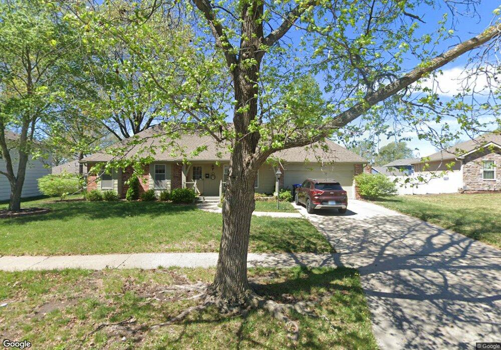
1909 SW Navajo Ln Topeka, KS 66604
West Topeka NeighborhoodEstimated Value: $231,175 - $258,000
3
Beds
2
Baths
1,606
Sq Ft
$154/Sq Ft
Est. Value
About This Home
This home is located at 1909 SW Navajo Ln, Topeka, KS 66604 and is currently estimated at $247,044, approximately $153 per square foot. 1909 SW Navajo Ln is a home located in Shawnee County with nearby schools including McCarter Elementary School, Marjorie French Middle School, and Topeka West High School.
Ownership History
Date
Name
Owned For
Owner Type
Purchase Details
Closed on
Feb 28, 2022
Sold by
Lois Eileen Jones Trust
Bought by
Klise Grant Douglas and Klise Cathryne Ruby
Current Estimated Value
Home Financials for this Owner
Home Financials are based on the most recent Mortgage that was taken out on this home.
Original Mortgage
$180,420
Outstanding Balance
$167,852
Interest Rate
3.55%
Mortgage Type
New Conventional
Estimated Equity
$79,192
Purchase Details
Closed on
Apr 28, 2005
Sold by
Jones Lois E
Bought by
Jones Lois Eileen and The Lois Eileen Jones Trust
Create a Home Valuation Report for This Property
The Home Valuation Report is an in-depth analysis detailing your home's value as well as a comparison with similar homes in the area
Home Values in the Area
Average Home Value in this Area
Purchase History
| Date | Buyer | Sale Price | Title Company |
|---|---|---|---|
| Klise Grant Douglas | -- | Kansas Secured Title | |
| Jones Lois Eileen | -- | None Available |
Source: Public Records
Mortgage History
| Date | Status | Borrower | Loan Amount |
|---|---|---|---|
| Open | Klise Grant Douglas | $180,420 |
Source: Public Records
Tax History Compared to Growth
Tax History
| Year | Tax Paid | Tax Assessment Tax Assessment Total Assessment is a certain percentage of the fair market value that is determined by local assessors to be the total taxable value of land and additions on the property. | Land | Improvement |
|---|---|---|---|---|
| 2025 | $3,371 | $24,273 | -- | -- |
| 2023 | $3,371 | $23,104 | $0 | $0 |
| 2022 | $2,888 | $19,273 | $0 | $0 |
| 2021 | $2,708 | $17,208 | $0 | $0 |
| 2020 | $2,549 | $16,388 | $0 | $0 |
| 2019 | $2,488 | $15,911 | $0 | $0 |
| 2018 | $2,417 | $15,447 | $0 | $0 |
| 2017 | $2,350 | $14,997 | $0 | $0 |
| 2014 | $2,326 | $14,703 | $0 | $0 |
Source: Public Records
Map
Nearby Homes
- 1906 SW Village Dr
- 5859 SW 22nd Terrace Unit 3
- 0000 SW 22nd Terrace
- 5802 SW Sterling Ln
- 1728 SW Fairlawn Rd
- 5518 SW Avalon Ln
- 1306 SW Glendale Dr
- 5618 SW 14th St
- 5324 SW 24th St
- 2124 SW Meadow Ln
- 000 U S 75
- 8008 SW 26th Terrace Unit Lot 8, Block B
- 8016 SW 26th Terrace Unit Lot 10, Block B
- 2401 SW Crest Dr
- 5452 SW 12th Terrace Unit 3
- 6040 SW 25th St
- 6054 SW 25th St
- 1944 SW Quivira Dr
- 5719 SW 27th St
- 2222 SW Pondview Dr
- 1911 SW Navajo Ln
- 1905 SW Navajo Ln
- 1918 SW Arrowhead Rd
- 1912 SW Arrowhead Rd
- 1924 SW Arrowhead Rd
- 1917 SW Navajo Ln
- 1906 SW Arrowhead Rd
- 1900 SW Navajo Ln
- 1912 SW Navajo Ln
- 1837 SW Cheyenne Rd
- 1900 SW Arrowhead Rd
- 1920 SW Navajo Ln
- 1936 SW Arrowhead Rd
- 1907 SW Cheyenne Rd
- 1831 SW Cheyenne Rd
- 1919 SW Arrowhead Rd
- 1921 SW Navajo Ln
- 1925 SW Arrowhead Rd
- 1913 SW Arrowhead Rd
- 1942 SW Arrowhead Rd