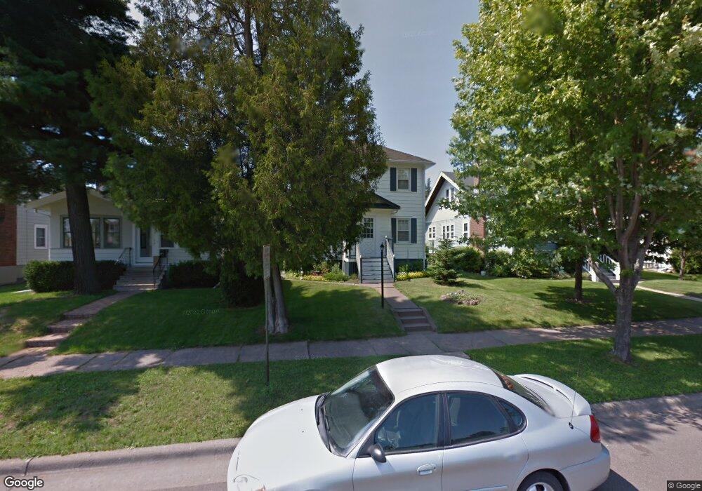
1909 W Kent Rd Duluth, MN 55812
Chester Park NeighborhoodEstimated Value: $273,000 - $335,000
2
Beds
1
Bath
1,004
Sq Ft
$296/Sq Ft
Est. Value
About This Home
This home is located at 1909 W Kent Rd, Duluth, MN 55812 and is currently estimated at $296,883, approximately $295 per square foot. 1909 W Kent Rd is a home located in St. Louis County with nearby schools including Congdon Elementary School, Ordean East Middle School, and East High School.
Ownership History
Date
Name
Owned For
Owner Type
Purchase Details
Closed on
Jul 2, 2007
Sold by
Goertz Nona L
Bought by
Goertz Nona L and The Nona L Goertz Revocable Tr
Current Estimated Value
Home Financials for this Owner
Home Financials are based on the most recent Mortgage that was taken out on this home.
Original Mortgage
$80,000
Interest Rate
6.37%
Mortgage Type
Purchase Money Mortgage
Purchase Details
Closed on
Jun 24, 2005
Sold by
Myrum Nancy A and Kelley Stephen
Bought by
Brown Saun M
Home Financials for this Owner
Home Financials are based on the most recent Mortgage that was taken out on this home.
Original Mortgage
$155,421
Interest Rate
5.75%
Mortgage Type
Fannie Mae Freddie Mac
Create a Home Valuation Report for This Property
The Home Valuation Report is an in-depth analysis detailing your home's value as well as a comparison with similar homes in the area
Home Values in the Area
Average Home Value in this Area
Purchase History
| Date | Buyer | Sale Price | Title Company |
|---|---|---|---|
| Goertz Nona L | -- | None Available | |
| Goertz Nona L | $171,000 | Arrowhead | |
| Brown Saun M | $172,690 | Cons |
Source: Public Records
Mortgage History
| Date | Status | Borrower | Loan Amount |
|---|---|---|---|
| Previous Owner | Goertz Nona L | $80,000 | |
| Previous Owner | Brown Saun M | $155,421 |
Source: Public Records
Tax History Compared to Growth
Tax History
| Year | Tax Paid | Tax Assessment Tax Assessment Total Assessment is a certain percentage of the fair market value that is determined by local assessors to be the total taxable value of land and additions on the property. | Land | Improvement |
|---|---|---|---|---|
| 2024 | $2,956 | $237,200 | $34,400 | $202,800 |
| 2023 | $2,956 | $212,800 | $34,400 | $178,400 |
| 2022 | $2,518 | $201,800 | $32,600 | $169,200 |
| 2021 | $2,328 | $171,300 | $27,700 | $143,600 |
| 2020 | $2,326 | $163,200 | $26,400 | $136,800 |
| 2019 | $1,950 | $159,300 | $26,400 | $132,900 |
| 2018 | $1,796 | $139,000 | $26,400 | $112,600 |
| 2017 | $1,704 | $137,900 | $26,400 | $111,500 |
| 2016 | $1,666 | $107,600 | $24,200 | $83,400 |
| 2015 | $1,994 | $126,600 | $33,400 | $93,200 |
| 2014 | $1,994 | $126,600 | $33,400 | $93,200 |
Source: Public Records
Map
Nearby Homes
- 1915 Garden St
- 1915 E 9th St
- 1039 Brainerd Ave
- 719 N 16th Ave E
- 1417 E 10th St
- 1419 E 9th St
- 529 Woodland Ave
- 1403 E 8th St
- 1317 E 9th St
- 1801 E 4th St
- 2314 E 5th St
- 200x E 3rd St
- 48 E Buffalo St
- 1520 E 3rd St
- 526 N 12 1/2 Ave E
- xxx E 2nd St
- 2418 E 4th St
- 1015 N 11th Ave E
- 2101 E 1st St
- 510 N 12th Ave E