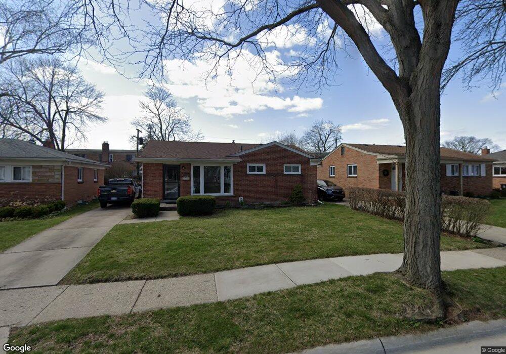
1909 Westgate Ave Royal Oak, MI 48073
Estimated Value: $293,000 - $366,000
3
Beds
2
Baths
1,004
Sq Ft
$324/Sq Ft
Est. Value
About This Home
This home is located at 1909 Westgate Ave, Royal Oak, MI 48073 and is currently estimated at $325,302, approximately $324 per square foot. 1909 Westgate Ave is a home located in Oakland County with nearby schools including Keller Elementary, Royal Oak Middle School, and Royal Oak High School.
Ownership History
Date
Name
Owned For
Owner Type
Purchase Details
Closed on
Apr 1, 2024
Sold by
Malone James A
Bought by
Malone James A and Tata Melissa L
Current Estimated Value
Purchase Details
Closed on
Mar 26, 2008
Sold by
Malone Dennis M and Malone Jane
Bought by
Malone James A
Purchase Details
Closed on
Dec 20, 2007
Sold by
Malone Kathleen A
Bought by
Malone James A
Purchase Details
Closed on
Oct 24, 2006
Sold by
Hunrath Norman R and Hunrath Louise
Bought by
Hunrath Louise
Purchase Details
Closed on
Oct 18, 2006
Sold by
Hunrath Louise
Bought by
Hunrath Louise and Malone Dennis M
Create a Home Valuation Report for This Property
The Home Valuation Report is an in-depth analysis detailing your home's value as well as a comparison with similar homes in the area
Home Values in the Area
Average Home Value in this Area
Purchase History
| Date | Buyer | Sale Price | Title Company |
|---|---|---|---|
| Malone James A | -- | None Listed On Document | |
| Malone James A | -- | None Listed On Document | |
| Malone James A | -- | None Available | |
| Malone James A | -- | None Available | |
| Hunrath Louise | -- | None Available | |
| Hunrath Louise | -- | None Available |
Source: Public Records
Tax History Compared to Growth
Tax History
| Year | Tax Paid | Tax Assessment Tax Assessment Total Assessment is a certain percentage of the fair market value that is determined by local assessors to be the total taxable value of land and additions on the property. | Land | Improvement |
|---|---|---|---|---|
| 2024 | $2,423 | $117,100 | $0 | $0 |
| 2022 | $2,863 | $102,940 | $0 | $0 |
| 2020 | $2,354 | $90,770 | $0 | $0 |
| 2018 | $2,863 | $83,020 | $0 | $0 |
| 2017 | $2,752 | $83,020 | $0 | $0 |
| 2015 | -- | $77,040 | $0 | $0 |
| 2014 | -- | $70,920 | $0 | $0 |
| 2011 | -- | $64,050 | $0 | $0 |
Source: Public Records
Map
Nearby Homes
- 307 Marlin Ave
- 334 Marlin Ave
- 1935 Brookwood Ave
- 512 Marlin Ave
- 528 Marlin Ave
- 1944 Brookwood Ave
- 127 La Plaza Ct
- 714 E 12 Mile Rd
- 227 W Houstonia Ave
- 1833 N Washington Ave
- 1821 N Washington Ave
- 1828 N Lafayette Ave
- 626 Fairway Dr
- 3316 Vinsetta Blvd
- 1018 E 12 Mile Rd
- 3303 Vinsetta Blvd
- 2115 Marywood Dr
- 508 W Houstonia Ave
- 436 Girard Ave
- 511 Gardenia Ave
- 1915 Westgate Ave
- 1903 Westgate Ave
- 1921 Westgate Ave
- 1831 Westgate Ave
- 1827 Westgate Ave
- 1910 Westgate Ave Unit Bldg-Unit
- 1910 Westgate Ave
- 1906 Westgate Ave Unit Bldg-Unit
- 1906 Westgate Ave
- 1914 Westgate Ave
- 1902 Westgate Ave
- 1918 Westgate Ave
- 1828 Westgate Ave
- 1823 Westgate Ave
- 1922 Westgate Ave
- 1824 Westgate Ave
- 1926 Westgate Ave
- 1820 Westgate Ave
- 1880 Rochester Rd
- 1911 Clifton Ave