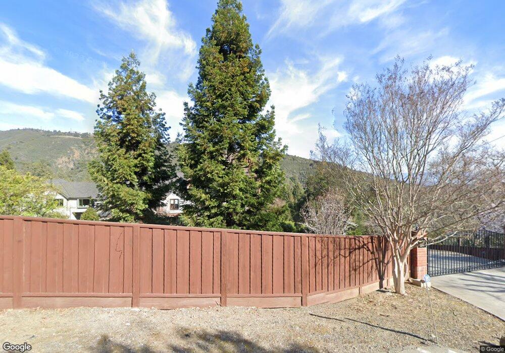
19099 Black Rd Los Gatos, CA 95033
Estimated Value: $1,063,000 - $1,734,426
2
Beds
1
Bath
916
Sq Ft
$1,446/Sq Ft
Est. Value
About This Home
This home is located at 19099 Black Rd, Los Gatos, CA 95033 and is currently estimated at $1,324,142, approximately $1,445 per square foot. 19099 Black Rd is a home with nearby schools including Lakeside Elementary School, Los Gatos High School, and St. Mary School.
Ownership History
Date
Name
Owned For
Owner Type
Purchase Details
Closed on
Mar 28, 2002
Sold by
Lausten Thomas W
Bought by
Lausten Thomas W and Lausten Genevieve L
Current Estimated Value
Purchase Details
Closed on
Jan 19, 2001
Sold by
Lausten Bruce
Bought by
Lausten Thomas W and Lausten Genevieve L
Purchase Details
Closed on
Dec 18, 2000
Sold by
Lausten Bruce
Bought by
Lausten Thomas W and Lausten Genevieve L
Purchase Details
Closed on
Jul 31, 2000
Sold by
Lausten Bruce Trustee
Bought by
Lausten Bruce
Purchase Details
Closed on
Oct 21, 1996
Sold by
Bruce Lausten and Bruce Ann
Bought by
Lausten Bruce and Lausten Ann
Create a Home Valuation Report for This Property
The Home Valuation Report is an in-depth analysis detailing your home's value as well as a comparison with similar homes in the area
Home Values in the Area
Average Home Value in this Area
Purchase History
| Date | Buyer | Sale Price | Title Company |
|---|---|---|---|
| Lausten Thomas W | -- | -- | |
| Lausten Thomas W | -- | -- | |
| Lausten Thomas W | -- | -- | |
| Lausten Thomas W | -- | -- | |
| Lausten Bruce | -- | -- | |
| Lausten Bruce | -- | -- |
Source: Public Records
Tax History Compared to Growth
Tax History
| Year | Tax Paid | Tax Assessment Tax Assessment Total Assessment is a certain percentage of the fair market value that is determined by local assessors to be the total taxable value of land and additions on the property. | Land | Improvement |
|---|---|---|---|---|
| 2025 | $2,918 | $177,521 | $135,479 | $42,042 |
| 2024 | $2,918 | $174,041 | $132,823 | $41,218 |
| 2023 | $2,807 | $170,629 | $130,219 | $40,410 |
| 2022 | $2,854 | $167,284 | $127,666 | $39,618 |
| 2021 | $2,821 | $164,005 | $125,163 | $38,842 |
| 2020 | $2,774 | $162,324 | $123,880 | $38,444 |
| 2019 | $2,754 | $159,142 | $121,451 | $37,691 |
| 2018 | $2,720 | $156,022 | $119,070 | $36,952 |
| 2017 | $2,712 | $152,964 | $116,736 | $36,228 |
| 2016 | $2,312 | $149,966 | $114,448 | $35,518 |
| 2015 | $2,278 | $147,714 | $112,729 | $34,985 |
| 2014 | $2,249 | $144,821 | $110,521 | $34,300 |
Source: Public Records
Map
Nearby Homes
- 19150 Beardsley Rd
- 18700 Black Rd
- 18590 Black Rd
- 18650 Black Rd
- 18570+ Black Rd
- 18570 Black Rd
- 20245 Gist Rd
- 19474 Aeronaut Way
- 19850 Skyline Blvd
- 19960 Skyline Blvd
- 20406 Harvey Way
- 0 Montevina Rd
- 130 Wood Rd
- 19179 Skyline Blvd
- Lot 42 Summit Rd
- 20715 Brush Rd
- 19335 Overlook Rd
- 19000 Overlook Rd
- 19089 Skyline Blvd
- 28 Orchard St
- 19220 Beardsley Rd
- 19210 Beardsley Rd
- 19260 Beardsley Rd
- 19190 Beardsley Rd
- 19180 Beardsley Rd
- 19170 Beardsley Rd
- 19160 Beardsley Rd
- 19301 Beardsley Rd
- 19231 Beardsley Rd
- 19161 Beardsley Rd
- 19291 Beardsley Rd
- 19201 Beardsley Rd
- 19255 Beardsley Rd
- 19221 Beardsley Rd
- 19141 Beardsley Rd
- 18675 Black Rd
- 19151 Laurel Dr
- 18655 Black Rd
- 19350 Beardsley Rd