191 Alaska Rd Boulder, CO 80302
Crisman NeighborhoodEstimated Value: $1,002,000 - $1,444,000
3
Beds
3
Baths
3,180
Sq Ft
$352/Sq Ft
Est. Value
About This Home
This home is located at 191 Alaska Rd, Boulder, CO 80302 and is currently estimated at $1,118,916, approximately $351 per square foot. 191 Alaska Rd is a home located in Boulder County with nearby schools including Flatirons Elementary School, Casey Middle School, and Boulder High School.
Ownership History
Date
Name
Owned For
Owner Type
Purchase Details
Closed on
May 3, 2000
Sold by
Constable Robert D and Constable Jennifer F
Bought by
Constable Robert D
Current Estimated Value
Purchase Details
Closed on
May 31, 1996
Sold by
Thacker Construction Inc
Bought by
Constable Robert D
Home Financials for this Owner
Home Financials are based on the most recent Mortgage that was taken out on this home.
Original Mortgage
$316,000
Outstanding Balance
$20,061
Interest Rate
7.93%
Estimated Equity
$1,098,855
Create a Home Valuation Report for This Property
The Home Valuation Report is an in-depth analysis detailing your home's value as well as a comparison with similar homes in the area
Home Values in the Area
Average Home Value in this Area
Purchase History
| Date | Buyer | Sale Price | Title Company |
|---|---|---|---|
| Constable Robert D | -- | -- | |
| Constable Robert D | $395,000 | Land Title |
Source: Public Records
Mortgage History
| Date | Status | Borrower | Loan Amount |
|---|---|---|---|
| Open | Constable Robert D | $316,000 |
Source: Public Records
Tax History
| Year | Tax Paid | Tax Assessment Tax Assessment Total Assessment is a certain percentage of the fair market value that is determined by local assessors to be the total taxable value of land and additions on the property. | Land | Improvement |
|---|---|---|---|---|
| 2025 | $7,376 | $73,037 | $15,406 | $57,631 |
| 2024 | $7,376 | $73,037 | $15,406 | $57,631 |
| 2023 | $7,260 | $75,931 | $14,794 | $64,823 |
| 2022 | $6,064 | $59,381 | $12,468 | $46,913 |
| 2021 | $5,803 | $61,090 | $12,827 | $48,263 |
| 2020 | $5,126 | $53,411 | $14,014 | $39,397 |
| 2019 | $5,054 | $53,411 | $14,014 | $39,397 |
| 2018 | $4,634 | $48,377 | $8,712 | $39,665 |
| 2017 | $4,514 | $53,484 | $9,632 | $43,852 |
| 2016 | $4,258 | $50,076 | $10,905 | $39,171 |
| 2015 | $4,028 | $41,074 | $10,030 | $31,044 |
| 2014 | $3,388 | $41,074 | $10,030 | $31,044 |
Source: Public Records
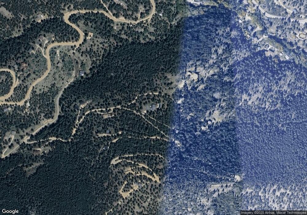
Map
Nearby Homes
- 310 Wendelyn Way
- 1000 Alaska Rd
- 375 Arroyo Chico
- 1327 Weaver Dr
- 2050 Fourmile Canyon Dr
- 6112 Fourmile Canyon Dr
- 6122 Fourmile Canyon Dr
- 470 Weaver Dr
- 208 Wild Tiger Rd
- 6415 Sunshine Canyon Dr
- 155 Millionaire Dr W
- 79 Weaver Dr
- 31 Wild Tiger Ln
- 5554 Sunshine Canyon Dr
- 6319 Sunshine Canyon Dr
- 6553 Sunshine Canyon Dr
- 6055 Fourmile Canyon Dr
- 7893 Fourmile Canyon Dr
- 4324 Fourmile Canyon Dr
- 149 Millionaire Dr W
- 245 Alaska Rd
- 925 Alaska Rd
- 322 Alaska Rd
- 135 Blue Ribbon Rd
- 213 Blue Ribbon Rd
- 380 Alaska Rd
- 111 Alaska Rd
- 165 Logan Mill Rd
- 998 Alaska Rd
- 23 Wendelyn Way
- 888 Alaska Rd
- 371 Logan Mill Rd
- 130 Crisman
- 155 Logan Mill Rd
- 190 Logan Mill Rd
- 425 Logan Mill Rd
- 0 Wild Turkey Trail
- 11 Logan Mill Rd
- 3682 Fourmile Canyon Dr
- 50 Crisman
Your Personal Tour Guide
Ask me questions while you tour the home.