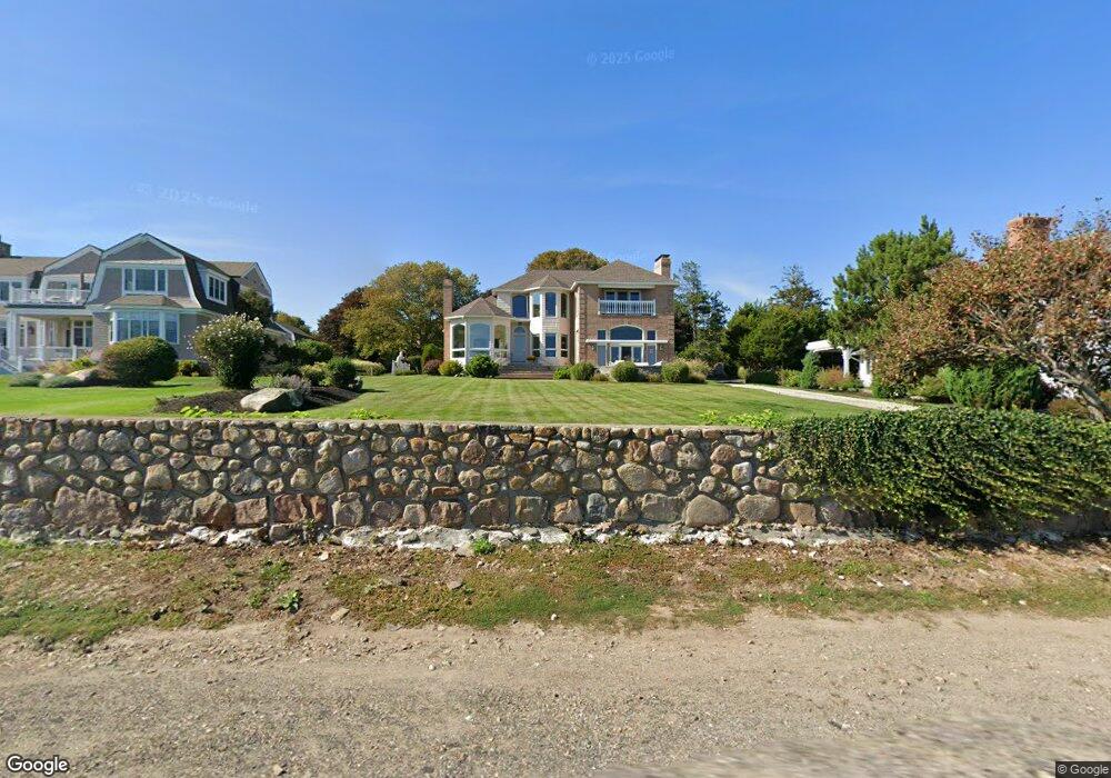
191 Atlantic Rd Gloucester, MA 01930
East Gloucester NeighborhoodEstimated Value: $2,507,000 - $3,820,000
3
Beds
3
Baths
3,877
Sq Ft
$812/Sq Ft
Est. Value
About This Home
This home is located at 191 Atlantic Rd, Gloucester, MA 01930 and is currently estimated at $3,147,737, approximately $811 per square foot. 191 Atlantic Rd is a home located in Essex County with nearby schools including East Gloucester Elementary School, Ralph B O'maley Middle School, and Gloucester High School.
Ownership History
Date
Name
Owned For
Owner Type
Purchase Details
Closed on
Nov 17, 1999
Sold by
Fadili Adel A and Fadili-Altamimi Amer
Bought by
Kane John N and Kane Joan P
Current Estimated Value
Home Financials for this Owner
Home Financials are based on the most recent Mortgage that was taken out on this home.
Original Mortgage
$240,000
Interest Rate
7.76%
Mortgage Type
Purchase Money Mortgage
Create a Home Valuation Report for This Property
The Home Valuation Report is an in-depth analysis detailing your home's value as well as a comparison with similar homes in the area
Home Values in the Area
Average Home Value in this Area
Purchase History
| Date | Buyer | Sale Price | Title Company |
|---|---|---|---|
| Kane John N | $999,000 | -- |
Source: Public Records
Mortgage History
| Date | Status | Borrower | Loan Amount |
|---|---|---|---|
| Open | Kane John N | $217,400 | |
| Closed | Kane John N | $240,000 |
Source: Public Records
Tax History
| Year | Tax Paid | Tax Assessment Tax Assessment Total Assessment is a certain percentage of the fair market value that is determined by local assessors to be the total taxable value of land and additions on the property. | Land | Improvement |
|---|---|---|---|---|
| 2025 | $28,569 | $2,939,200 | $1,809,500 | $1,129,700 |
| 2024 | $27,410 | $2,817,100 | $1,674,600 | $1,142,500 |
| 2023 | $25,704 | $2,427,200 | $1,428,200 | $999,000 |
| 2022 | $24,843 | $2,117,900 | $1,241,900 | $876,000 |
| 2021 | $23,984 | $1,928,000 | $1,130,000 | $798,000 |
| 2020 | $24,263 | $1,967,800 | $1,130,000 | $837,800 |
| 2019 | $23,512 | $1,852,800 | $1,077,400 | $775,400 |
| 2018 | $23,062 | $1,783,600 | $1,051,200 | $732,400 |
| 2017 | $22,385 | $1,697,100 | $1,002,300 | $694,800 |
| 2016 | $21,756 | $1,598,500 | $958,000 | $640,500 |
| 2015 | $20,856 | $1,527,900 | $936,200 | $591,700 |
Source: Public Records
Map
Nearby Homes
- 10 Seaview Rd
- 11 Ocean View Dr
- 197 E Main St Unit 1
- 15 Raven Ln Unit 15
- 1 Wonson St
- 73 Rocky Neck Ave Unit 2
- 60 Rocky Neck Ave Unit 202
- 3 Mondello Square
- 5 Wise Place
- 36 Eastern Ave
- 100 Eastern Point Blvd
- 139A Prospect St
- 191 Main St Unit 3
- 191 Main St Unit 2A
- 26 Marina Dr
- 35 Middle St Unit 4
- 33 Middle St
- 25 Salt Island Rd
- 78 Thatcher Rd Unit 6
- 70 Old Nugent Farm Rd
- 189 Atlantic Rd
- 31 Harriett Rd
- 29 Harriett Rd
- 4 Lands End Ln
- 187 Atlantic Rd
- 37 Harriett Rd
- 196 Atlantic Rd
- 38 Harriett Rd
- 40 Harriett Rd
- 185 Atlantic Rd
- 7 Lands End Ln
- 39 Harriett Rd
- 42 Harriett Rd
- 183 Atlantic Rd
- 3 Fairmount Rd
- 8 Lands End Ln
- 201 Atlantic Rd
- 9 Lands End Ln
- 44 Harriett Rd
- 19 Harriett Rd
Your Personal Tour Guide
Ask me questions while you tour the home.