191 Blue Crest Dr Kalispell, MT 59901
Estimated Value: $509,000 - $537,861
About This Home
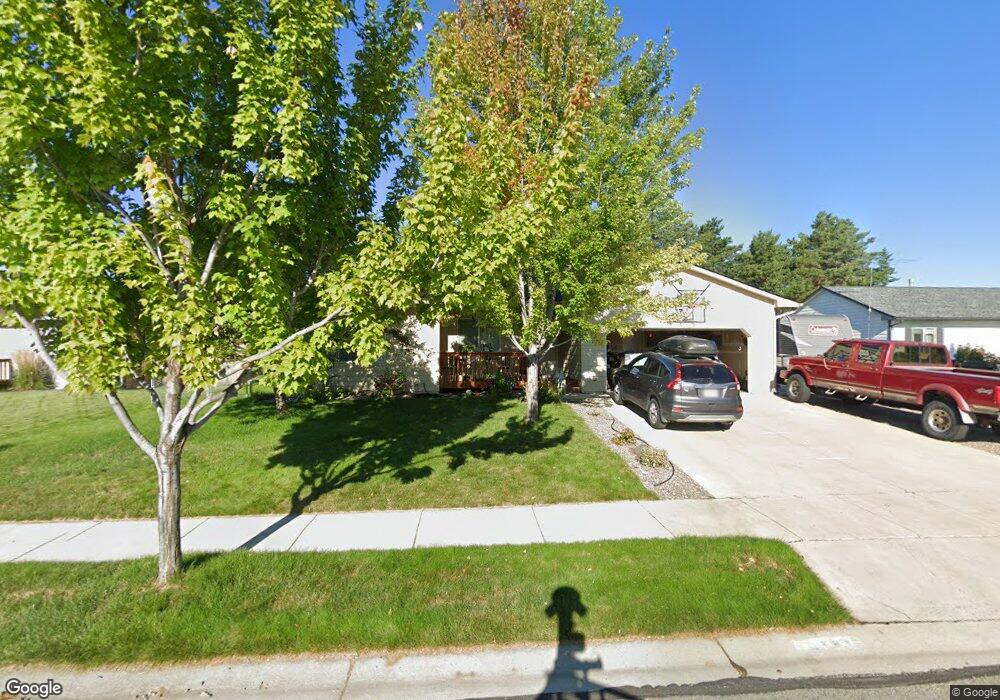
This home is located at 191 Blue Crest Dr, Kalispell, MT 59901 and is currently estimated at $527,965, approximately $406 per square foot. 191 Blue Crest Dr is a home located in Flathead County with nearby schools including West Valley Elementary School, West Valley Middle School, and Glacier High School.
Ownership History
We collect this data history from publicly available records. To have your information removed, we recommend requesting removal directly through your county’s website.
Purchase Details
Home Financials for this Owner
Home Financials are based on the most recent Mortgage that was taken out on this home.Purchase Details
Home Financials for this Owner
Home Financials are based on the most recent Mortgage that was taken out on this home.Purchase History
We collect this data history from publicly available records. To have your information removed, we recommend requesting removal directly through your county’s website.
| Date | Buyer | Sale Price | Title Company |
|---|---|---|---|
| -- | Alliance Title | ||
| -- | Alliance Title |
Mortgage History
We collect this data history from publicly available records. To have your information removed, we recommend requesting removal directly through your county’s website.
| Date | Status | Borrower | Loan Amount |
|---|---|---|---|
| Open | $104,900 | ||
| Previous Owner | $122,157 |
Tax History
We collect this data history from publicly available records. To have your information removed, we recommend requesting removal directly through your county’s website.
| Year | Tax Paid | Tax Assessment Tax Assessment Total Assessment is a certain percentage of the fair market value that is determined by local assessors to be the total taxable value of land and additions on the property. | Land | Improvement |
|---|---|---|---|---|
| 2025 | $2,570 | $513,900 | $0 | $0 |
| 2024 | $3,243 | $450,200 | $0 | $0 |
| 2023 | $3,652 | $450,200 | $0 | $0 |
| 2022 | $2,738 | $301,800 | $0 | $0 |
| 2021 | $3,254 | $301,800 | $0 | $0 |
| 2020 | $3,124 | $258,200 | $0 | $0 |
| 2019 | $3,085 | $258,200 | $0 | $0 |
| 2018 | $2,956 | $231,100 | $0 | $0 |
| 2017 | $2,952 | $231,100 | $0 | $0 |
| 2016 | $2,620 | $208,400 | $0 | $0 |
| 2015 | $2,641 | $208,400 | $0 | $0 |
| 2014 | $2,447 | $113,791 | $0 | $0 |
Map
- 294 Three Mile Dr
- 111 Cally Ln
- 1280 Quarter Horse Ln
- 412 Needlegrass Ln
- 424 Needlegrass Ln
- 250 Empire Loop
- 420 Needlegrass Ln
- 191 Cottage Dr
- 417 Needlegrass Ln
- 405 Needlegrass Ln
- 404 Needlegrass Ln
- 223 Cottage Dr
- 118 Beville Ct
- 408 Needlegrass Ln
- 383 Mountain Vista Way
- 286 Empire Loop
- 327 Mountain Vista Way
- 228 Cottage Dr
- 298 Triple Creek Dr
- 174 Empire Loop
- 187 Blue Crest Dr
- 195 Blue Crest Dr
- 183 Blue Crest Dr
- 199 Blue Crest Dr
- 190 Blue Crest
- 190 Blue Crest Dr
- 194 Blue Crest
- 186 Blue Crest Dr
- 194 Blue Crest Dr
- 182 Blue Crest Dr
- 179 Blue Crest Dr
- 203 Blue Crest Dr
- 203 Blue Crest
- 198 Blue Crest Dr
- 189 Meadows Ln
- 189 Meadows Ln
- 537 Three Mile Dr
- 164 Blue Crest Dr
- 138 Blue Crest Dr
- 218 Blue Crest
Ask me questions while you tour the home.