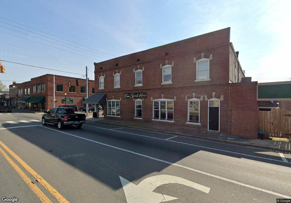
191 Cherry St Dunlap, TN 37327
Estimated Value: $263,737
Studio
3
Baths
3,310
Sq Ft
$80/Sq Ft
Est. Value
About This Home
This home is located at 191 Cherry St, Dunlap, TN 37327 and is currently estimated at $263,737, approximately $79 per square foot. 191 Cherry St is a home located in Sequatchie County with nearby schools including Griffith Elementary School, Sequatchie County Middle School, and Sequatchie County High School.
Ownership History
Date
Name
Owned For
Owner Type
Purchase Details
Closed on
Oct 30, 2020
Sold by
Slone Edward and The Edward Slone Living Trust
Bought by
Rollins Blythe
Current Estimated Value
Home Financials for this Owner
Home Financials are based on the most recent Mortgage that was taken out on this home.
Original Mortgage
$139,720
Outstanding Balance
$123,710
Interest Rate
2.9%
Mortgage Type
Commercial
Estimated Equity
$140,027
Purchase Details
Closed on
Jan 26, 2017
Sold by
Jones Mark D
Bought by
Slone Edward
Home Financials for this Owner
Home Financials are based on the most recent Mortgage that was taken out on this home.
Original Mortgage
$120,000
Interest Rate
4.32%
Mortgage Type
Commercial
Purchase Details
Closed on
Jun 20, 2007
Sold by
Graves Family Limited Part
Bought by
Graves Charles G
Home Financials for this Owner
Home Financials are based on the most recent Mortgage that was taken out on this home.
Original Mortgage
$160,000
Interest Rate
6.35%
Purchase Details
Closed on
Jan 11, 2006
Purchase Details
Closed on
Dec 18, 1996
Sold by
Graves Charles G
Bought by
Graves Family Ltd
Purchase Details
Closed on
Jul 22, 1989
Bought by
Graves Charles G Jr Hazel M
Purchase Details
Closed on
Jun 26, 1989
Bought by
Lofty Wilburn N and Wife Hazel M
Purchase Details
Closed on
Jan 1, 1980
Create a Home Valuation Report for This Property
The Home Valuation Report is an in-depth analysis detailing your home's value as well as a comparison with similar homes in the area
Home Values in the Area
Average Home Value in this Area
Purchase History
| Date | Buyer | Sale Price | Title Company |
|---|---|---|---|
| Rollins Blythe | $180,000 | None Available | |
| Slone Edward | $160,000 | -- | |
| Graves Charles G | -- | -- | |
| Jones Mark D | $200,000 | -- | |
| -- | $2,500 | -- | |
| Graves Family Ltd | -- | -- | |
| Graves Charles G Jr Hazel M | $18,000 | -- | |
| Lofty Wilburn N | $15,900 | -- | |
| -- | $43,800 | -- |
Source: Public Records
Mortgage History
| Date | Status | Borrower | Loan Amount |
|---|---|---|---|
| Open | Rollins Blythe | $139,720 | |
| Previous Owner | Slone Edward | $120,000 | |
| Previous Owner | -- | $160,000 |
Source: Public Records
Tax History
| Year | Tax Paid | Tax Assessment Tax Assessment Total Assessment is a certain percentage of the fair market value that is determined by local assessors to be the total taxable value of land and additions on the property. | Land | Improvement |
|---|---|---|---|---|
| 2025 | $2,310 | $95,680 | $14,000 | $81,680 |
| 2024 | $2,310 | $95,680 | $14,000 | $81,680 |
| 2023 | $2,310 | $95,680 | $14,000 | $81,680 |
| 2022 | $2,374 | $71,520 | $10,600 | $60,920 |
| 2021 | $2,338 | $71,520 | $10,600 | $60,920 |
| 2020 | $2,229 | $71,520 | $10,600 | $60,920 |
| 2019 | $2,229 | $68,200 | $10,600 | $57,600 |
| 2018 | $2,204 | $68,200 | $10,600 | $57,600 |
| 2017 | $2,179 | $68,200 | $10,600 | $57,600 |
| 2016 | $2,154 | $64,680 | $7,920 | $56,760 |
| 2015 | $2,154 | $64,680 | $7,920 | $56,760 |
| 2014 | $2,154 | $64,680 | $7,920 | $56,760 |
Source: Public Records
Map
Nearby Homes
- 0 SE US Hwy 127 Unit 1519993
- 0 SE US Hwy 127 Unit 1519990
- 0 SE US Hwy 127 Unit 1519988
- 0 SE US Hwy 127 Unit 1314389
- 0 SE US Hwy 127 Unit 1519979
- 0 SE US Hwy 127 Unit 1519991
- 0 SE US Hwy 127 Unit 1519984
- 21550 U S 127
- 21552 U S 127
- 254 Cdl Trail
- 410 Cherry St
- 0 State Rt 399 Lot 13
- 95 Blue Sky Rd Rd
- Lot 13 B Greenfields Way
- 341 Oak St
- 95 A Main St
- 2 Fredonia Rd
- 1 Fredonia Rd
- 3 Fredonia Rd
- 407 Standifer Cir
- LAURAL Brook Rd
- 0 Sr 28 Unit 1106689
- 0 S Us Hwy 127 Unit 1125433
- 0 SE US Hwy 127 Unit 1135322
- 1 State Rt 28
- 0 Sr 8 Unit 20150802
- 0 Sr 28 Unit 1314711
- 0 Sr 28 Unit RTC2731746
- 0 SE US Hwy 127 Unit 1125433
- 0 SE US Hwy 127 Unit 1099532
- 0 Sr 8 Unit 1266552
- 0 Sr 28 Unit 1252907
- 0 Sr 8 Unit 1221461
- 0 SE US Hwy 127 Unit 1186254
- 0 S Us Hwy 127 Unit 1153017
- 0 S Us Hwy 127 Unit 1099532
- 0 SE US Hwy 127 Unit 1058591
- 0 Sr 28 Unit RTC2350450
- 0 Sr 8 Unit 1292129
- 0 Tennessee 28
Your Personal Tour Guide
Ask me questions while you tour the home.