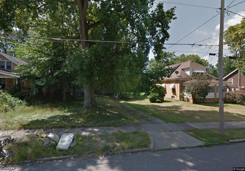
191 Clarencedale Ave Youngstown, OH 44512
Estimated Value: $111,000 - $532,000
2
Beds
1
Bath
792
Sq Ft
$386/Sq Ft
Est. Value
About This Home
This home is located at 191 Clarencedale Ave, Youngstown, OH 44512 and is currently estimated at $305,333, approximately $385 per square foot. 191 Clarencedale Ave is a home located in Mahoning County with nearby schools including Taft Elementary School, East High School, and Horizon Science Academy - Youngstown.
Ownership History
Date
Name
Owned For
Owner Type
Purchase Details
Closed on
Jul 11, 2022
Bought by
Cheirs Kenneth W
Current Estimated Value
Purchase Details
Closed on
Jun 28, 2022
Sold by
Mahoning County Land Reutilization Corpo
Bought by
Cheirs Kenneth W and Cheirs Andraous K
Purchase Details
Closed on
Aug 1, 2016
Sold by
Zents Tammy L and Treasurer Of Mahoning County
Bought by
Mahoning County Land Reutilization Corpo
Purchase Details
Closed on
Oct 9, 1991
Bought by
Zents Tammy L
Create a Home Valuation Report for This Property
The Home Valuation Report is an in-depth analysis detailing your home's value as well as a comparison with similar homes in the area
Home Values in the Area
Average Home Value in this Area
Purchase History
| Date | Buyer | Sale Price | Title Company |
|---|---|---|---|
| Cheirs Kenneth W | -- | -- | |
| Cheirs Kenneth W | -- | None Listed On Document | |
| Cheirs Kenneth W | -- | None Listed On Document | |
| Mahoning County Land Reutilization Corpo | $2,882 | Attorney | |
| Zents Tammy L | $29,000 | -- |
Source: Public Records
Tax History Compared to Growth
Tax History
| Year | Tax Paid | Tax Assessment Tax Assessment Total Assessment is a certain percentage of the fair market value that is determined by local assessors to be the total taxable value of land and additions on the property. | Land | Improvement |
|---|---|---|---|---|
| 2024 | $54 | $1,100 | $1,100 | -- |
| 2023 | $53 | $1,100 | $1,100 | $0 |
| 2022 | $0 | $670 | $670 | $0 |
| 2021 | $3 | $670 | $670 | $0 |
| 2020 | $3 | $670 | $670 | $0 |
| 2019 | $3 | $600 | $600 | $0 |
| 2018 | $6 | $600 | $600 | $0 |
| 2017 | $3 | $4,660 | $2,000 | $2,660 |
| 2016 | $303 | $8,300 | $2,390 | $5,910 |
| 2015 | $1,024 | $8,300 | $2,390 | $5,910 |
| 2014 | $522 | $8,300 | $2,390 | $5,910 |
| 2013 | $514 | $8,300 | $2,390 | $5,910 |
Source: Public Records
Map
Nearby Homes
- 188 Clarencedale Ave
- 230 Clarencedale Ave
- 204 Lowell Ave
- 4038 Sunset Blvd
- 365 E Midlothian Blvd
- 3930 Sunset Dr
- 159 E Ravenwood Ave
- 371 Potomac Ave
- 3726 Sunset Blvd
- 131 E Ravenwood Ave Unit 133
- 116 Hilton Ave
- 4144 Helena Ave
- 161 E Auburndale Ave
- 4307 Helena Ave
- 182 E Auburndale Ave
- 3916 Howard St
- 4312 Helena Ave
- 207 E Lucius Ave
- 358 E Auburndale Ave
- 703 E Judson Ave
- 199 Clarencedale Ave
- 189 Clarencedale Ave
- 4020 Erie St
- 185 Clarencedale Ave
- 203 Clarencedale Ave
- 196 Clarencedale Ave
- 181 Clarencedale Ave
- 198 Clarencedale Ave
- 207 Clarencedale Ave
- 196 Hollywood Ave
- 192 Hollywood Ave
- 198 Hollywood Ave
- 4023 Erie St
- 190 Clarencedale Ave
- 188 Hollywood Ave
- 177 Clarencedale Ave
- 186 Clarencedale Ave
- 182 Hollywood Ave
- 211 Clarencedale Ave
- 3924 Erie St