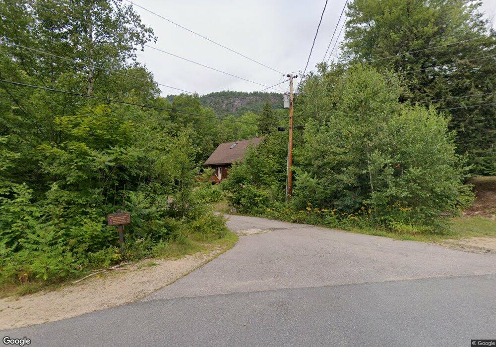
191 Covered Bridge Ln Bartlett, NH 03812
Estimated Value: $526,455 - $612,000
3
Beds
4
Baths
1,641
Sq Ft
$355/Sq Ft
Est. Value
About This Home
This home is located at 191 Covered Bridge Ln, Bartlett, NH 03812 and is currently estimated at $582,614, approximately $355 per square foot. 191 Covered Bridge Ln is a home with nearby schools including Josiah Bartlett Elementary School.
Ownership History
Date
Name
Owned For
Owner Type
Purchase Details
Closed on
Sep 26, 2014
Sold by
Bartha Andrew and Bartha Lisa
Bought by
Guthrie David Meskell and Brommer-Guthrie Ursula
Current Estimated Value
Purchase Details
Closed on
Feb 2, 2001
Sold by
Brandau James F
Bought by
Bartha Andrew and Bartha Lisa
Create a Home Valuation Report for This Property
The Home Valuation Report is an in-depth analysis detailing your home's value as well as a comparison with similar homes in the area
Home Values in the Area
Average Home Value in this Area
Purchase History
| Date | Buyer | Sale Price | Title Company |
|---|---|---|---|
| Guthrie David Meskell | $234,900 | -- | |
| Guthrie David Meskell | $234,900 | -- | |
| Bartha Andrew | $13,500 | -- | |
| Bartha Andrew | $13,500 | -- |
Source: Public Records
Mortgage History
| Date | Status | Borrower | Loan Amount |
|---|---|---|---|
| Closed | Bartha Andrew | $0 |
Source: Public Records
Tax History
| Year | Tax Paid | Tax Assessment Tax Assessment Total Assessment is a certain percentage of the fair market value that is determined by local assessors to be the total taxable value of land and additions on the property. | Land | Improvement |
|---|---|---|---|---|
| 2024 | $2,269 | $406,600 | $93,400 | $313,200 |
| 2023 | $2,098 | $406,600 | $93,400 | $313,200 |
| 2022 | $2,021 | $406,600 | $93,400 | $313,200 |
| 2021 | $2,329 | $244,400 | $111,800 | $132,600 |
| 2020 | $2,361 | $244,400 | $111,800 | $132,600 |
| 2019 | $2,283 | $244,400 | $111,800 | $132,600 |
| 2018 | $2,231 | $244,400 | $111,800 | $132,600 |
| 2016 | $1,875 | $197,400 | $55,400 | $142,000 |
| 2015 | $1,883 | $197,400 | $55,400 | $142,000 |
| 2014 | $1,933 | $197,400 | $55,400 | $142,000 |
| 2010 | $1,708 | $186,700 | $50,200 | $136,500 |
Source: Public Records
Map
Nearby Homes
- 18 Seasons at Attitash Rd
- 2 Seasons at Attitash Rd
- 19 Marsden Dr
- 17 The Meadows Rd
- 9 River Run Dr Unit 9I
- 1 River Run Rd Unit 1-O
- 1 River Run Dr Unit Week 43 - Oct. 25-No
- 12 Attitash Woods
- 2 Attitash Woods Rd
- 8 River Run Dr Unit T
- 8 River Run Dr Unit H
- 10 River Run Dr Unit G
- 00 Tall Woods Loop Unit 9
- 15 Ridgewood Rd
- 24 N Ledge Rd
- 25 Linderhof Strauss Rd
- 38 Iron Ledge Rd
- 00 US Route 302 Unit L00
- 7 Goodrich Falls Rd
- 478 Rolling Ridge Rd
- 189 Covered Bridge Ln
- 193 Covered Bridge Ln
- 194 Covered Bridge Ln
- 197 Covered Bridge Ln
- 178 Covered Bridge Ln
- 191 Covered Bridge Ln
- 261 Covered Bridge Ln
- 203 Covered Bridge Ln
- 179 Covered Bridge Ln
- 264 Covered Bridge Ln
- 177 Covered Bridge Ln
- 41 Whites Ledge Ln
- 41 Whites Ledge Ln
- 246 Covered Bridge Ln
- 39 Whites Ledge Ln
- 176 Covered Bridge Ln
- 59 Covered Bridge Ln
- 171 Covered Bridge Ln
- 231 Whites Ledge Ln
- 31 Whites Ledge Ln
Your Personal Tour Guide
Ask me questions while you tour the home.