191 Dovie Ray Rd Dahlonega, GA 30533
Estimated Value: $291,000 - $455,000
3
Beds
4
Baths
2,730
Sq Ft
$143/Sq Ft
Est. Value
About This Home
This home is located at 191 Dovie Ray Rd, Dahlonega, GA 30533 and is currently estimated at $390,916, approximately $143 per square foot. 191 Dovie Ray Rd is a home located in White County with nearby schools including Tesnatee Gap Elementary (Old White County Intermediate), White County 9th Grade Academy, and Jack P. Nix Elementary School.
Ownership History
Date
Name
Owned For
Owner Type
Purchase Details
Closed on
Feb 19, 2010
Sold by
Deutsche Bank National Tru
Bought by
Jenkins David E
Current Estimated Value
Purchase Details
Closed on
Mar 1, 2006
Sold by
Not Provided
Bought by
Jenkins David E
Home Financials for this Owner
Home Financials are based on the most recent Mortgage that was taken out on this home.
Original Mortgage
$47,800
Interest Rate
6.19%
Mortgage Type
New Conventional
Create a Home Valuation Report for This Property
The Home Valuation Report is an in-depth analysis detailing your home's value as well as a comparison with similar homes in the area
Home Values in the Area
Average Home Value in this Area
Purchase History
| Date | Buyer | Sale Price | Title Company |
|---|---|---|---|
| Jenkins David E | $142,500 | -- | |
| Jenkins David E | $239,000 | -- |
Source: Public Records
Mortgage History
| Date | Status | Borrower | Loan Amount |
|---|---|---|---|
| Previous Owner | Jenkins David E | $47,800 | |
| Previous Owner | Jenkins David E | $191,200 |
Source: Public Records
Tax History Compared to Growth
Tax History
| Year | Tax Paid | Tax Assessment Tax Assessment Total Assessment is a certain percentage of the fair market value that is determined by local assessors to be the total taxable value of land and additions on the property. | Land | Improvement |
|---|---|---|---|---|
| 2025 | $2,664 | $130,084 | $21,808 | $108,276 |
| 2024 | $2,664 | $127,904 | $19,628 | $108,276 |
| 2023 | $2,459 | $108,436 | $17,448 | $90,988 |
| 2022 | $2,257 | $95,132 | $16,356 | $78,776 |
| 2021 | $2,075 | $77,400 | $12,588 | $64,812 |
| 2020 | $1,952 | $69,372 | $11,688 | $57,684 |
| 2019 | $1,958 | $69,372 | $11,688 | $57,684 |
| 2018 | $1,958 | $69,372 | $11,688 | $57,684 |
| 2017 | $1,815 | $64,888 | $11,688 | $53,200 |
| 2016 | $1,801 | $64,376 | $11,688 | $52,688 |
| 2015 | -- | $160,940 | $11,688 | $52,688 |
| 2014 | $1,596 | $149,130 | $0 | $0 |
Source: Public Records
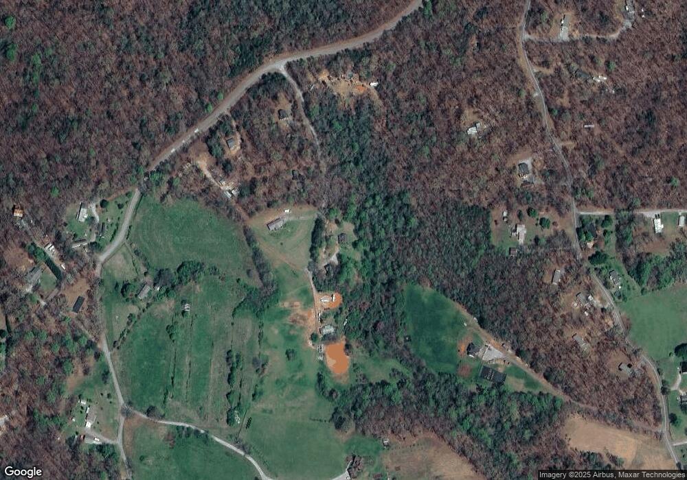
Map
Nearby Homes
- 349 Hester Rd
- 313 Hester Rd
- 651 Hester Rd
- 242 Hooper Rd
- 1063 Grindle Bridge Rd
- 120 Brewer Rd
- 64 Highview Ln
- 893 Hooper Rd
- 410 Whiskey Still Dr
- 1016 Deer Woods Trail
- 1243 Hooper Rd
- 1323 Hooper Rd
- 55 Santa Pera Dr
- 1147 Martin Dr
- 80 Oak View Trail
- 0 Horseshoe Bend Rd Unit 10571975
- 0 Horseshoe Bend Rd Unit 7620338
- 0 Deer Run Trail Unit 10025230
- 0 Waterfall Dr Unit 9 10472076
- 2717 Damascus Church Rd
- 144 Dovie Ray Rd
- 215 Dovie Ray Rd
- 90 Dovie Ray Rd
- 260 Hester Rd
- 769 Eli Knob
- 196 Hester Rd
- 344 Hester Rd
- 366 Hester Rd
- 0 Eli Knob Rd
- 460 Morgan
- 478 Morgan
- 195 Morrison Rd
- 472 Hester Rd
- 428 Hester Rd Unit LOT 3
- 472 Hester Rd Unit LOT 4
- 414 Hester Rd Unit LOT 2
- 0 Hester Rd Unit 8414419
- 0 Hester Rd Unit 8845390
- 0 Hester Rd Unit 6770680
- 0 Hester Rd Unit 3 8722426