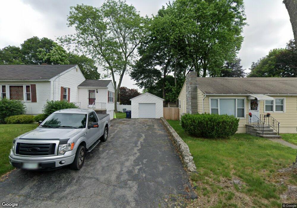
191 Dracut St Dracut, MA 01826
Pawtucketville NeighborhoodEstimated Value: $484,000 - $536,100
2
Beds
2
Baths
960
Sq Ft
$531/Sq Ft
Est. Value
About This Home
This home is located at 191 Dracut St, Dracut, MA 01826 and is currently estimated at $510,050, approximately $531 per square foot. 191 Dracut St is a home located in Middlesex County with nearby schools including Joseph McAvinnue Elementary School, Charlotte M. Murkland Elementary School, and Charles W. Morey Elementary School.
Ownership History
Date
Name
Owned For
Owner Type
Purchase Details
Closed on
Mar 28, 2018
Sold by
Heffenan Patricia E and Heffenan Kevin D
Bought by
Hefferman Ft
Current Estimated Value
Purchase Details
Closed on
May 29, 1998
Sold by
Muldoon Joanne E
Bought by
Heffernan Kevin D and Heffernan Patricia
Home Financials for this Owner
Home Financials are based on the most recent Mortgage that was taken out on this home.
Original Mortgage
$129,600
Interest Rate
7.12%
Mortgage Type
Purchase Money Mortgage
Create a Home Valuation Report for This Property
The Home Valuation Report is an in-depth analysis detailing your home's value as well as a comparison with similar homes in the area
Home Values in the Area
Average Home Value in this Area
Purchase History
| Date | Buyer | Sale Price | Title Company |
|---|---|---|---|
| Hefferman Ft | -- | -- | |
| Heffernan Kevin D | $129,900 | -- |
Source: Public Records
Mortgage History
| Date | Status | Borrower | Loan Amount |
|---|---|---|---|
| Previous Owner | Heffernan Kevin D | $148,500 | |
| Previous Owner | Heffernan Kevin D | $129,600 |
Source: Public Records
Tax History
| Year | Tax Paid | Tax Assessment Tax Assessment Total Assessment is a certain percentage of the fair market value that is determined by local assessors to be the total taxable value of land and additions on the property. | Land | Improvement |
|---|---|---|---|---|
| 2025 | $369 | $36,500 | $34,700 | $1,800 |
| 2024 | $355 | $34,000 | $33,000 | $1,000 |
| 2023 | $344 | $29,700 | $28,700 | $1,000 |
| 2022 | $333 | $27,100 | $26,100 | $1,000 |
| 2021 | $321 | $24,700 | $23,700 | $1,000 |
| 2020 | $320 | $24,000 | $23,000 | $1,000 |
| 2019 | $3,049 | $22,900 | $21,900 | $1,000 |
| 2018 | $324 | $22,900 | $21,900 | $1,000 |
| 2017 | $332 | $22,900 | $21,900 | $1,000 |
| 2016 | $328 | $22,100 | $21,100 | $1,000 |
| 2015 | $330 | $22,100 | $21,100 | $1,000 |
| 2014 | $320 | $22,100 | $21,100 | $1,000 |
Source: Public Records
Map
Nearby Homes
- 101 Dracut St
- 81 4th Ave
- 39 Phoebe Ave
- 30 4th Ave
- 94 Hampson St
- 89 Mammoth Rd
- 101 Donohue Rd Unit 19
- 105 Columbia Rd
- 67 Glennon Ave
- 109 Navy Yard Rd
- 104 Woodward Ave
- 1720 Skyline Dr Unit 15
- 38 Starbird St
- 15 Louis Farm Rd Unit 15
- 1400 Skyline Dr Unit 6
- 39 Lantern Ln Unit 4
- 79 School St Unit 4
- 187 Varnum Ave
- 75 Sladen St
- 930 Lakeview Ave
- 137 Dracut St
- 199 7th Ave
- 199 7th Ave Unit 199
- 195 7th Ave
- 210 7th Ave
- 129 Dracut St
- 132 Dracut St
- 130 Endicott St
- 196 7th Ave
- 124 Endicott St
- 120 Endicott St
- 144 Endicott St
- 144 - 146 Endicott St
- 116 Endicott St
- 122 Dracut St
- 159 Dracut St
- 119 Dracut St
- 319 University Ave
- 112 Endicott St
- 307 University Ave
Your Personal Tour Guide
Ask me questions while you tour the home.