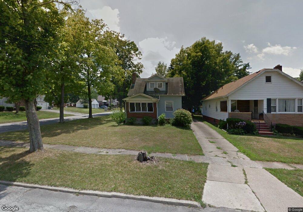
191 Erskine Ave Youngstown, OH 44512
Estimated Value: $66,000 - $103,669
2
Beds
1
Bath
944
Sq Ft
$95/Sq Ft
Est. Value
About This Home
This home is located at 191 Erskine Ave, Youngstown, OH 44512 and is currently estimated at $89,667, approximately $94 per square foot. 191 Erskine Ave is a home located in Mahoning County with nearby schools including Boardman Glenwood Junior High School, Boardman High School, and Horizon Science Academy - Youngstown.
Ownership History
Date
Name
Owned For
Owner Type
Purchase Details
Closed on
Jan 27, 2020
Sold by
Weston Franklin C
Bought by
Kardon Holdings Llc
Current Estimated Value
Purchase Details
Closed on
Jun 18, 2003
Sold by
Weston Franklin C
Bought by
Weston Franklin C and Weston Cynthia
Home Financials for this Owner
Home Financials are based on the most recent Mortgage that was taken out on this home.
Original Mortgage
$38,000
Interest Rate
5.71%
Mortgage Type
Purchase Money Mortgage
Purchase Details
Closed on
Jun 6, 1989
Bought by
Weston Franklin C
Create a Home Valuation Report for This Property
The Home Valuation Report is an in-depth analysis detailing your home's value as well as a comparison with similar homes in the area
Home Values in the Area
Average Home Value in this Area
Purchase History
| Date | Buyer | Sale Price | Title Company |
|---|---|---|---|
| Kardon Holdings Llc | $40,000 | None Available | |
| Weston Franklin C | -- | Reliable Title Agency Inc | |
| Weston Franklin C | $29,600 | -- |
Source: Public Records
Mortgage History
| Date | Status | Borrower | Loan Amount |
|---|---|---|---|
| Previous Owner | Weston Franklin C | $38,000 |
Source: Public Records
Tax History Compared to Growth
Tax History
| Year | Tax Paid | Tax Assessment Tax Assessment Total Assessment is a certain percentage of the fair market value that is determined by local assessors to be the total taxable value of land and additions on the property. | Land | Improvement |
|---|---|---|---|---|
| 2024 | $1,373 | $26,420 | $4,180 | $22,240 |
| 2023 | $1,355 | $26,420 | $4,180 | $22,240 |
| 2022 | $1,119 | $16,650 | $3,860 | $12,790 |
| 2021 | $1,120 | $16,650 | $3,860 | $12,790 |
| 2020 | $1,101 | $16,650 | $3,860 | $12,790 |
| 2019 | $1,061 | $14,230 | $3,300 | $10,930 |
| 2018 | $906 | $14,230 | $3,300 | $10,930 |
| 2017 | $903 | $14,230 | $3,300 | $10,930 |
| 2016 | $1,092 | $14,700 | $3,690 | $11,010 |
| 2015 | $923 | $14,700 | $3,690 | $11,010 |
| 2014 | $925 | $14,700 | $3,690 | $11,010 |
| 2013 | $914 | $14,700 | $3,690 | $11,010 |
Source: Public Records
Map
Nearby Homes
- 167 Afton Ave
- 149 Argyle Ave
- 127 Melrose Ave
- 329 Afton Ave
- 0 Indianola Rd
- 81 Melrose Ave
- 0 Mathews Rd Unit 5038026
- 175 Homestead Dr
- 197 Mathews Rd Unit B
- 44 Gertrude Ave
- 429 Tudor Ln
- 0 Cranberry Ln Unit 5170595
- 6001 Applecrest Dr
- 148 Clifton Dr
- 4715 Euclid Blvd
- 424 Mathews Rd
- 83 Beechwood Dr
- 28 Terrace Dr
- 94 Beechwood Dr
- 4552 New England Blvd
- 189 Erskine Ave
- 185 Erskine Ave
- 203 Erskine Ave
- 179 Erskine Ave
- 209 Erskine Ave
- 196 Afton Ave
- 194 Afton Ave
- 192 Afton Ave
- 204 Afton Ave
- 175 Erskine Ave
- 186 Erskine Ave
- 215 Erskine Ave
- 194 Erskine Ave
- 180 Afton Ave
- 190 Erskine Ave
- 208 Afton Ave
- 204 Erskine Ave
- 219 Erskine Ave
- 178 Afton Ave
- 210 Erskine Ave