191 Fieldstone Dr Unit 191 Londonderry, NH 03053
Estimated Value: $350,000 - $373,000
3
Beds
2
Baths
1,776
Sq Ft
$204/Sq Ft
Est. Value
About This Home
This home is located at 191 Fieldstone Dr Unit 191, Londonderry, NH 03053 and is currently estimated at $362,242, approximately $203 per square foot. 191 Fieldstone Dr Unit 191 is a home located in Rockingham County with nearby schools including Matthew Thornton Elementary School, Londonderry Middle School, and Londonderry Senior High School.
Create a Home Valuation Report for This Property
The Home Valuation Report is an in-depth analysis detailing your home's value as well as a comparison with similar homes in the area
Home Values in the Area
Average Home Value in this Area
Tax History Compared to Growth
Tax History
| Year | Tax Paid | Tax Assessment Tax Assessment Total Assessment is a certain percentage of the fair market value that is determined by local assessors to be the total taxable value of land and additions on the property. | Land | Improvement |
|---|---|---|---|---|
| 2024 | $4,669 | $289,300 | $0 | $289,300 |
| 2023 | $4,528 | $289,300 | $0 | $289,300 |
| 2022 | $4,188 | $226,600 | $0 | $226,600 |
| 2021 | $4,165 | $226,600 | $0 | $226,600 |
| 2020 | $4,191 | $208,400 | $0 | $208,400 |
| 2019 | $4,041 | $208,400 | $0 | $208,400 |
| 2018 | $3,429 | $157,300 | $0 | $157,300 |
| 2017 | $3,399 | $157,300 | $0 | $157,300 |
| 2016 | $3,382 | $157,300 | $0 | $157,300 |
| 2015 | $3,306 | $157,300 | $0 | $157,300 |
| 2014 | $3,317 | $157,300 | $0 | $157,300 |
| 2011 | -- | $171,100 | $0 | $171,100 |
Source: Public Records
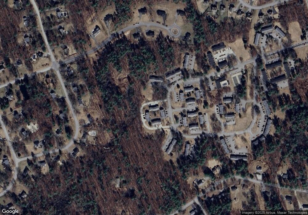
Map
Nearby Homes
- 193 Fieldstone Dr
- 193 Fieldstone Dr Unit 193
- 118 Fieldstone Dr Unit 118
- 169 Fieldstone Dr
- 35 Red Deer Rd
- 224 High Range Rd
- 57 Hardy Rd
- 11 Elise Ave Unit Lot 91
- 10 Judy Dr
- 38 Bartley Hill Rd
- 17 Welch Rd
- 20 Wedgewood Dr
- 5 Hickory Hill Dr
- 50 Bartley Hill Rd
- 27 Buckingham Dr
- 32 Noyes Rd
- 36 Perkins Rd
- 75 Rockingham Rd
- 15 Harvey Rd
- 4 Crestview Cir Unit 119
- 192 Fieldstone Dr
- 190 Fieldstone Dr
- 196 Fieldstone Dr
- 195 Fieldstone Dr
- 188 Fieldstone Dr Unit 188
- 188 Fieldstone Dr
- 194 Fieldstone Dr
- 186 Fieldstone Dr Unit 186
- 193 Fieldstone Dr Unit 139
- 197 Fieldstone Dr
- 159 Fieldstone Dr Unit 159
- 159 Fieldstone Dr
- 155 Fieldstone Dr
- 156 Fieldstone Dr Unit 156
- 126 Fieldstone Dr Unit 126
- 125 Fieldstone Dr
- 127 Fieldstone Dr
- 127 Fieldstone Dr Unit 127
- 128 Fieldstone Dr