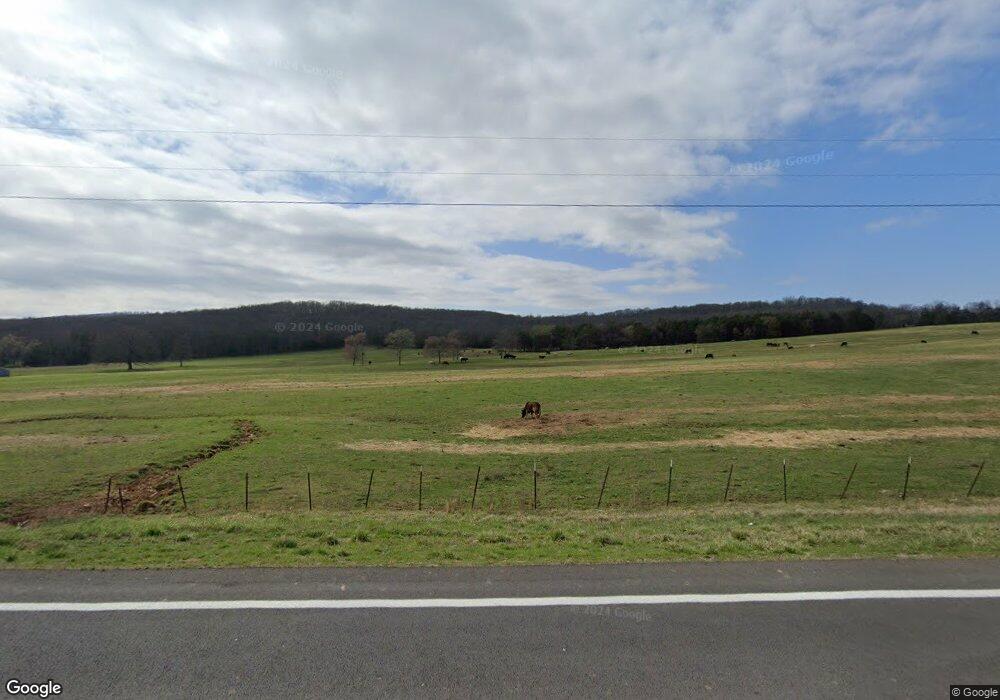
191 Highway 303 Wesley, AR 72773
Estimated Value: $150,334 - $376,000
--
Bed
1
Bath
1,184
Sq Ft
$191/Sq Ft
Est. Value
About This Home
This home is located at 191 Highway 303, Wesley, AR 72773 and is currently estimated at $226,584, approximately $191 per square foot. 191 Highway 303 is a home located in Madison County.
Ownership History
Date
Name
Owned For
Owner Type
Purchase Details
Closed on
Apr 23, 2015
Bought by
Johnson Caroline F Rev Tr
Current Estimated Value
Create a Home Valuation Report for This Property
The Home Valuation Report is an in-depth analysis detailing your home's value as well as a comparison with similar homes in the area
Home Values in the Area
Average Home Value in this Area
Purchase History
| Date | Buyer | Sale Price | Title Company |
|---|---|---|---|
| Johnson Caroline F Rev Tr | -- | -- |
Source: Public Records
Tax History Compared to Growth
Tax History
| Year | Tax Paid | Tax Assessment Tax Assessment Total Assessment is a certain percentage of the fair market value that is determined by local assessors to be the total taxable value of land and additions on the property. | Land | Improvement |
|---|---|---|---|---|
| 2024 | $735 | $26,860 | $1,140 | $25,720 |
| 2023 | $668 | $14,840 | $1,290 | $13,550 |
| 2022 | $627 | $14,840 | $1,290 | $13,550 |
| 2021 | $575 | $14,840 | $1,290 | $13,550 |
| 2020 | $522 | $11,610 | $1,290 | $10,320 |
| 2019 | $522 | $11,610 | $1,290 | $10,320 |
| 2018 | $477 | $11,610 | $1,290 | $10,320 |
| 2017 | $477 | $11,610 | $1,290 | $10,320 |
| 2016 | $477 | $11,610 | $1,290 | $10,320 |
| 2015 | $116 | $11,330 | $1,290 | $10,040 |
| 2014 | -- | $11,330 | $1,290 | $10,040 |
| 2013 | -- | $11,330 | $1,290 | $10,040 |
Source: Public Records
Map
Nearby Homes
- 567 Madison 6327
- TBD Madison 6327
- 0 277 Madison 6124 Unit 1298983
- 122 Madison 6124
- 979 Madison 7305
- 296 Madison 6329
- 296 Madison 6329 Unit LotWP001
- 139 Madison 6388
- 339 Madison 6122 & 440 Madison 6122
- 20742 Highway 295
- 352 Madison 6332
- 0 Highway 74 Unit 1321777
- 895 Madison 6180
- 0 Madison 295 Unit 1307878
- 0 Madison 6085 Rd Unit 1318986
- 232 Madison 6356
- 1880 Madison 7884
- 290 Madison 7840
- 1221 Madison 6261
- 0 Madison 6001
