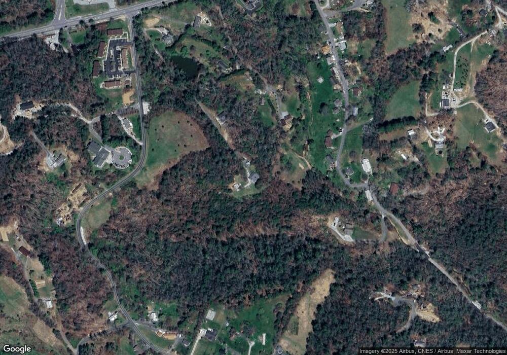
191 Jims Dr Spruce Pine, NC 28777
Estimated Value: $313,000 - $461,000
3
Beds
2
Baths
3,833
Sq Ft
$103/Sq Ft
Est. Value
About This Home
This home is located at 191 Jims Dr, Spruce Pine, NC 28777 and is currently estimated at $396,669, approximately $103 per square foot. 191 Jims Dr is a home located in Mitchell County with nearby schools including Greenlee Primary School, Mitchell High School, and Spruce Pine Montessori School.
Ownership History
Date
Name
Owned For
Owner Type
Purchase Details
Closed on
Aug 12, 2011
Sold by
Kerns Bryce N and Kerns Darlene H
Bought by
Stanbridge William H and Stanbridge Ruth M
Current Estimated Value
Home Financials for this Owner
Home Financials are based on the most recent Mortgage that was taken out on this home.
Original Mortgage
$188,800
Outstanding Balance
$130,073
Interest Rate
4.54%
Mortgage Type
New Conventional
Estimated Equity
$266,596
Create a Home Valuation Report for This Property
The Home Valuation Report is an in-depth analysis detailing your home's value as well as a comparison with similar homes in the area
Purchase History
| Date | Buyer | Sale Price | Title Company |
|---|---|---|---|
| Stanbridge William H | $236,000 | None Available |
Source: Public Records
Mortgage History
| Date | Status | Borrower | Loan Amount |
|---|---|---|---|
| Open | Stanbridge William H | $188,800 |
Source: Public Records
Tax History
| Year | Tax Paid | Tax Assessment Tax Assessment Total Assessment is a certain percentage of the fair market value that is determined by local assessors to be the total taxable value of land and additions on the property. | Land | Improvement |
|---|---|---|---|---|
| 2025 | $1,795 | $280,500 | $81,300 | $199,200 |
| 2024 | $1,767 | $280,500 | $81,300 | $199,200 |
| 2023 | $1,767 | $280,500 | $81,300 | $199,200 |
| 2022 | $1,767 | $280,500 | $81,300 | $199,200 |
| 2021 | $1,582 | $243,400 | $92,100 | $151,300 |
| 2020 | $1,582 | $243,400 | $92,100 | $151,300 |
| 2019 | $1,582 | $243,400 | $92,100 | $151,300 |
| 2018 | $1,582 | $243,400 | $92,100 | $151,300 |
| 2017 | $1,474 | $226,800 | $69,900 | $156,900 |
| 2016 | $1,361 | $226,800 | $69,900 | $156,900 |
| 2015 | $136 | $226,800 | $69,900 | $156,900 |
| 2014 | $1,361 | $226,800 | $69,900 | $156,900 |
Source: Public Records
Map
Nearby Homes
- 191 Pack Dr
- 0000 Gouges Creek Rd
- 9999 Gouges Creek Rd
- 377 Cabin Rd
- 97 Tom Sparks Rd
- 135 Phillips Rd
- 000 Vaughn Rd
- 459 Vaughan Rd
- 655 Overlook Dr Unit C
- 623 Overlook Dr
- 6 Woodland St
- 565 Overlook Dr
- 355 Walnut Ave
- 457 Overlook Dr
- 79 Creekside Ln
- 0 Dragonfly Unit Lot 3
- 147 Walnut Ave
- Tbd Henredon Rd
- 106 Chapel St
- 000 Gouges Creek Rd
- 157 Jims Dr
- 153 Cottage Garden Ln
- 258 Forrest Fisher Rd
- 152 Cottage Garden Ln
- 238 Forrest Fisher Rd
- 430 Forrest Fisher Rd
- 182 Forrest Fisher Rd
- 88 Cottage Garden Ln
- 277 Forrest Fisher Rd
- 211 Forrest Fisher Rd
- 199 Forrest Fisher Rd
- 177 Forrest Fisher Rd
- 177 Forrest Fisher Rd
- 128 Biggerstaff Rd
- 323 Forrest Fisher Rd
- 136 Forrest Fisher Rd
- 155 Forrest Fisher Rd
- 122 Forrest Fisher Rd
- 000 Forrest Fisher Rd
- 417 Biggerstaff Rd
