Estimated Value: $227,000 - $515,000
3
Beds
2
Baths
1,428
Sq Ft
$237/Sq Ft
Est. Value
About This Home
This home is located at 191 Ledford Rd, Cairo, GA 39828 and is currently estimated at $338,440, approximately $237 per square foot. 191 Ledford Rd is a home with nearby schools including Cairo High School.
Ownership History
Date
Name
Owned For
Owner Type
Purchase Details
Closed on
Jun 28, 2021
Sold by
Butler Kenneth B
Bought by
Torress Leandro and Torres Deborah J
Current Estimated Value
Purchase Details
Closed on
Nov 19, 2020
Sold by
Crawford Richard L
Bought by
Crawford Christina A
Purchase Details
Closed on
Jun 28, 2010
Sold by
Grebey John K
Bought by
Crawford Christina A and Crawford Richard L
Purchase Details
Closed on
Jul 6, 2005
Sold by
Pruitt James R
Bought by
Pruitt Donna
Purchase Details
Closed on
Jun 8, 2005
Sold by
Butler Kenneth B
Bought by
Pruitt James R
Purchase Details
Closed on
Apr 1, 2005
Sold by
Butler Kenneth B
Bought by
Watson Eddie
Create a Home Valuation Report for This Property
The Home Valuation Report is an in-depth analysis detailing your home's value as well as a comparison with similar homes in the area
Purchase History
| Date | Buyer | Sale Price | Title Company |
|---|---|---|---|
| Torress Leandro | $50,000 | -- | |
| Crawford Christina A | -- | -- | |
| Crawford Christina A | -- | -- | |
| Pruitt Donna | -- | -- | |
| Pruitt James R | $55,800 | -- | |
| Watson Eddie | $56,500 | -- |
Source: Public Records
Tax History
| Year | Tax Paid | Tax Assessment Tax Assessment Total Assessment is a certain percentage of the fair market value that is determined by local assessors to be the total taxable value of land and additions on the property. | Land | Improvement |
|---|---|---|---|---|
| 2024 | $1,890 | $79,346 | $9,520 | $69,826 |
| 2023 | $1,649 | $55,570 | $10,000 | $45,570 |
| 2022 | $534 | $55,570 | $10,000 | $45,570 |
| 2021 | $451 | $55,570 | $10,000 | $45,570 |
| 2020 | $453 | $55,570 | $10,000 | $45,570 |
| 2019 | $453 | $55,570 | $10,000 | $45,570 |
| 2018 | $1,558 | $55,570 | $10,000 | $45,570 |
| 2017 | $405 | $55,570 | $10,000 | $45,570 |
| 2016 | $1,282 | $48,038 | $10,000 | $38,038 |
| 2015 | $1,322 | $48,038 | $10,000 | $38,038 |
| 2013 | -- | $0 | $0 | $0 |
Source: Public Records
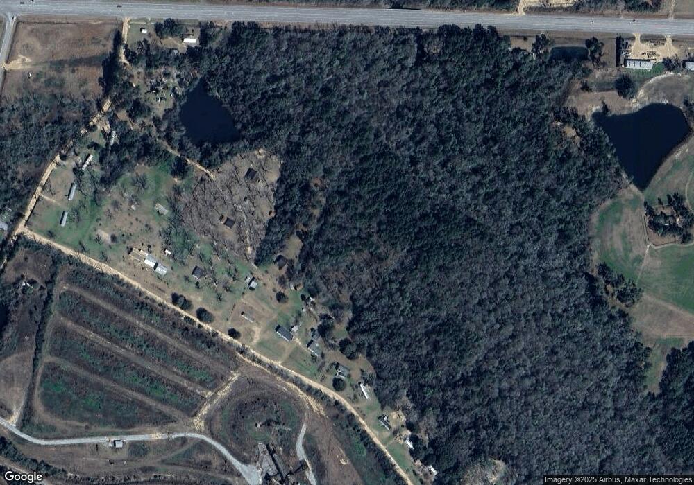
Map
Nearby Homes
- 309 Sunset Ln
- 129 Alison Dr
- 770 Pierce Chapel Rd
- 3109 U S 84
- 3109 U S 84
- 161 Evergreen Ln
- 78.6 Ac Strickland Rd
- 2690 U S 84
- 21 24th St NE
- 66 22nd St NE
- 0 20th St NE
- 00 20th St NE
- 592 20th St SE
- 408 Bay Tree Rd NE
- 00 State Route 188
- 0 State Route 188
- 530 6th St
- 140 Elderberry Ln
- 711 2nd Ave NE
- 1217 Pine Park Rd
- 135 Ledford Rd
- 121 Ledford Rd
- 143 Ledford Rd
- 3816 Us Highway 84 E
- 3586 Us Highway 84 E
- 153 Ledford Rd
- 181 Ledford Rd
- 3707 Us Highway 84 E
- 3589 Us Highway 84 E
- 3563 E 84 Hwy
- 3563 Us Highway 84 E
- 3555 Us Highway 84 E
- 3786 Us Highway 84 E
- 236 Sunset Ln
- 167 Stanfill Rd
- 158 Singletary Rd
- 163 Stanfill Rd
- 000 Hwy 84 E Singletary Rd
- 112 Applewood St
- 131 Myrtle St
Your Personal Tour Guide
Ask me questions while you tour the home.