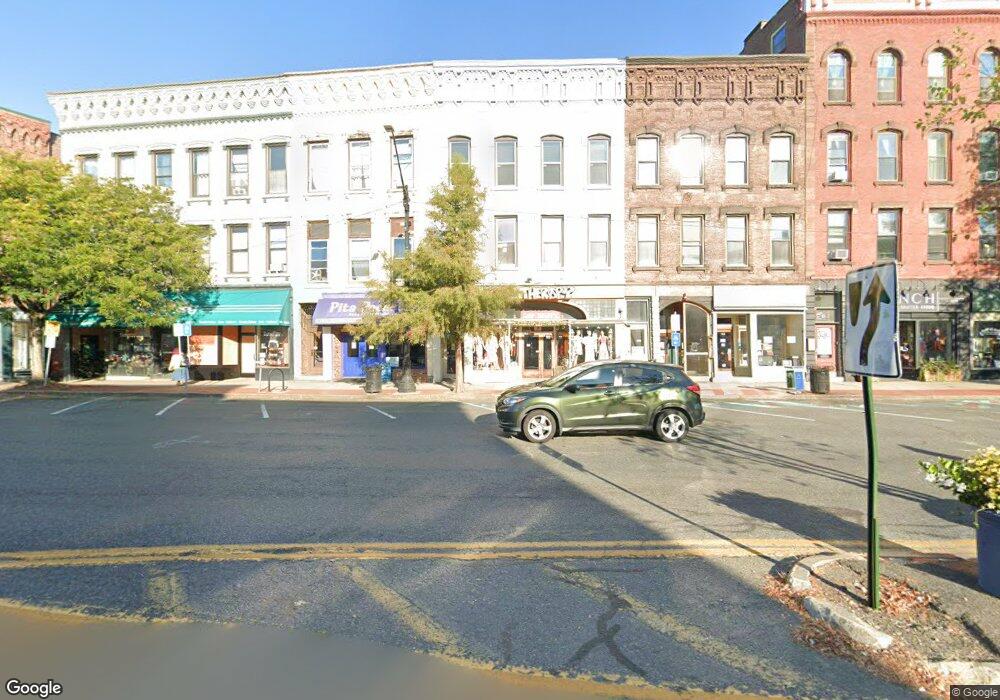
191 Main St Northampton, MA 01060
Studio
--
Bath
2,013
Sq Ft
1,917
Sq Ft Lot
About This Home
This home is located at 191 Main St, Northampton, MA 01060. 191 Main St is a home located in Hampshire County with nearby schools including Northampton High School, Hilltown Cooperative Charter Public School, and The Montessori School of Northampton.
Ownership History
Date
Name
Owned For
Owner Type
Purchase Details
Closed on
Sep 21, 2006
Sold by
Krauth Diana and Krauth Jeffrey B
Bought by
Colwell Lafleur Llc
Home Financials for this Owner
Home Financials are based on the most recent Mortgage that was taken out on this home.
Original Mortgage
$1,160,000
Outstanding Balance
$693,583
Interest Rate
6.59%
Mortgage Type
Commercial
Create a Home Valuation Report for This Property
The Home Valuation Report is an in-depth analysis detailing your home's value as well as a comparison with similar homes in the area
Home Values in the Area
Average Home Value in this Area
Purchase History
| Date | Buyer | Sale Price | Title Company |
|---|---|---|---|
| Colwell Lafleur Llc | $265,000 | -- |
Source: Public Records
Mortgage History
| Date | Status | Borrower | Loan Amount |
|---|---|---|---|
| Open | Colwell Lafleur Llc | $1,160,000 |
Source: Public Records
Tax History
| Year | Tax Paid | Tax Assessment Tax Assessment Total Assessment is a certain percentage of the fair market value that is determined by local assessors to be the total taxable value of land and additions on the property. | Land | Improvement |
|---|---|---|---|---|
| 2025 | $3,884 | $278,800 | $0 | $278,800 |
| 2024 | $3,889 | $256,000 | $0 | $256,000 |
| 2023 | $4,199 | $265,100 | $0 | $265,100 |
| 2022 | $4,285 | $239,500 | $0 | $239,500 |
| 2021 | $4,278 | $246,300 | $0 | $246,300 |
| 2020 | $4,138 | $246,300 | $0 | $246,300 |
| 2019 | $3,992 | $229,800 | $0 | $229,800 |
| 2018 | $3,916 | $229,800 | $0 | $229,800 |
| 2017 | $3,835 | $229,800 | $0 | $229,800 |
| 2016 | $3,714 | $229,800 | $0 | $229,800 |
| 2015 | $4,042 | $255,800 | $0 | $255,800 |
| 2014 | $3,937 | $255,800 | $0 | $255,800 |
Source: Public Records
Map
Nearby Homes
- 43 Center St Unit K
- 244 Main St
- 29 Pleasant St Unit 1
- 23 Randolph Place Unit 109
- 12 School St
- 30 Graves Ave Unit B
- 10 Hawley St Unit 4C
- 10 Hawley St Unit 4D
- 10 Hawley St Unit 1C
- 10 Hawley St Unit 4B
- 10 Hawley St Unit 4A
- 23 Eastern Ave
- 50 Union St Unit 18
- 8 Hockanum Rd Unit 10
- 107 Williams St Unit 2c
- 107 Williams St
- 107 Williams St Unit 3c
- 107 Williams St Unit A1
- 107 Williams St Unit 2B
- 37 Finn St
- 189 Main St
- 191 Main St Unit 2
- 187 Main St
- 187 Main St Unit 3
- 183 Main St
- 167 Main St
- 199 Main St Unit 3rd flr
- 199 Main St Unit 3rd
- 185 Main St
- 177 Main St
- 1 Amber Ln
- 207 Main St
- 209 Main St Unit 8
- 209 Main St Unit 7
- 209 Main St Unit 6
- 209 Main St Unit 5
- 209 Main St Unit 4
- 209 Main St Unit 3
- 211 Main St
- 157 Main St
Your Personal Tour Guide
Ask me questions while you tour the home.