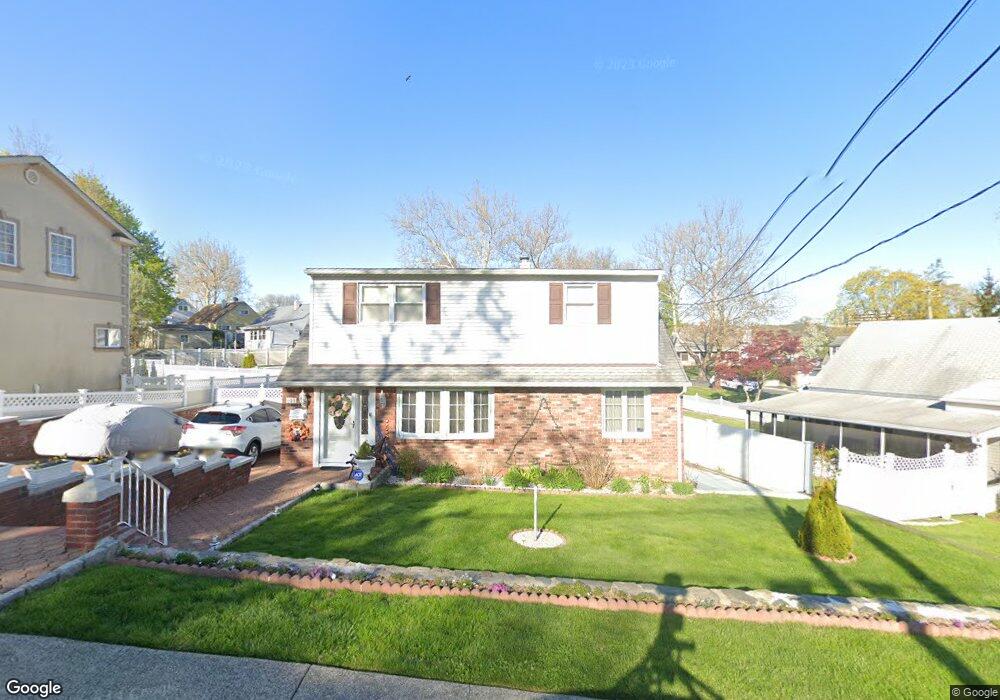
191 Mountaindale Rd Yonkers, NY 10710
Northeast Yonkers NeighborhoodEstimated Value: $677,000 - $809,000
3
Beds
2
Baths
1,763
Sq Ft
$421/Sq Ft
Est. Value
About This Home
This home is located at 191 Mountaindale Rd, Yonkers, NY 10710 and is currently estimated at $742,986, approximately $421 per square foot. 191 Mountaindale Rd is a home located in Westchester County with nearby schools including St. Eugene School.
Ownership History
Date
Name
Owned For
Owner Type
Purchase Details
Closed on
Aug 30, 2000
Sold by
Marchese Edith
Bought by
Puente Jose and Puente Gracilina
Current Estimated Value
Purchase Details
Closed on
Nov 21, 1995
Sold by
Capuano Helen
Bought by
Marchese Edith
Create a Home Valuation Report for This Property
The Home Valuation Report is an in-depth analysis detailing your home's value as well as a comparison with similar homes in the area
Home Values in the Area
Average Home Value in this Area
Purchase History
| Date | Buyer | Sale Price | Title Company |
|---|---|---|---|
| Puente Jose | $262,500 | -- | |
| Marchese Edith | $188,000 | American Title Ins Co |
Source: Public Records
Tax History
| Year | Tax Paid | Tax Assessment Tax Assessment Total Assessment is a certain percentage of the fair market value that is determined by local assessors to be the total taxable value of land and additions on the property. | Land | Improvement |
|---|---|---|---|---|
| 2024 | $1,871 | $10,500 | $3,100 | $7,400 |
| 2023 | $1,861 | $10,500 | $3,100 | $7,400 |
| 2022 | $1,849 | $10,500 | $3,100 | $7,400 |
| 2021 | $8,055 | $10,500 | $3,100 | $7,400 |
| 2020 | $7,962 | $10,500 | $3,100 | $7,400 |
| 2019 | $9,628 | $10,500 | $3,100 | $7,400 |
| 2018 | $7,338 | $10,500 | $3,100 | $7,400 |
| 2017 | $0 | $10,500 | $3,100 | $7,400 |
| 2016 | $8,410 | $10,500 | $3,100 | $7,400 |
| 2015 | -- | $10,500 | $3,100 | $7,400 |
| 2014 | -- | $10,500 | $3,100 | $7,400 |
| 2013 | -- | $10,500 | $3,100 | $7,400 |
Source: Public Records
Map
Nearby Homes
- 155 Mountaindale Rd
- 53 Hazelton Rd
- 7 Balint Dr Unit 228
- 7 Balint Dr Unit 625
- 1 Balint Dr
- 1 Balint Dr Unit 370
- 1 Balint Dr Unit 661
- 1 Balint Dr Unit 366
- 1 Balint Dr Unit 269
- 117 Mountaindale Rd
- 126 Mountaindale Rd
- 5 Sadore Ln Unit 3H
- 5 Sadore Ln Unit 4L
- 5 Sadore Ln Unit 5P
- 5 Sadore Ln Unit 3 S
- 1853 Central Park Ave Unit 16A
- 1853 Central Park Ave Unit 10C
- 1853 Central Park Ave Unit 9J
- 2 Toni Ln Unit 1
- 2 Sadore Ln Unit 6N
- 187 Mountaindale Rd
- 68 Covington Rd
- 60 Covington Rd
- 56 Covington Rd
- 183 Mountaindale Rd
- 1 Pembrook Dr
- 204 Mountaindale Rd
- 52 Covington Rd
- 179 Mountaindale Rd
- 208 Mountaindale Rd
- 65 Covington Rd
- 198 Mountaindale Rd
- 59 Covington Rd
- 214 Mountaindale Rd
- 9 Pembrook Dr
- 55 Covington Rd
- 48 Covington Rd
- 91 Newkirk Rd
- 51 Covington Rd
- 95 Newkirk Rd
Your Personal Tour Guide
Ask me questions while you tour the home.