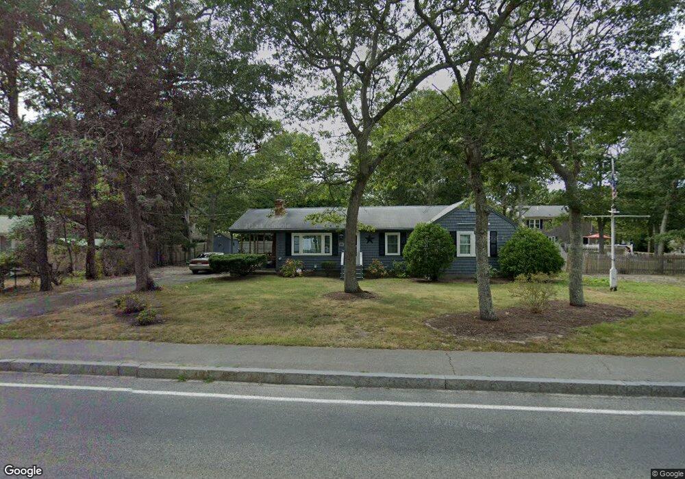
191 N Main St South Yarmouth, MA 02664
Estimated Value: $542,000 - $563,982
3
Beds
1
Bath
1,200
Sq Ft
$459/Sq Ft
Est. Value
About This Home
This home is located at 191 N Main St, South Yarmouth, MA 02664 and is currently estimated at $551,246, approximately $459 per square foot. 191 N Main St is a home located in Barnstable County with nearby schools including Dennis-Yarmouth Regional High School and St. Pius X. School.
Ownership History
Date
Name
Owned For
Owner Type
Purchase Details
Closed on
Dec 9, 2019
Sold by
Surprenant William
Bought by
Cook Steven and Cook Kristen
Current Estimated Value
Home Financials for this Owner
Home Financials are based on the most recent Mortgage that was taken out on this home.
Original Mortgage
$118,500
Outstanding Balance
$104,679
Interest Rate
3.7%
Mortgage Type
New Conventional
Estimated Equity
$446,567
Purchase Details
Closed on
Aug 19, 2011
Sold by
Luosey Edward G and Luosey Helen M
Bought by
Surprenant William
Home Financials for this Owner
Home Financials are based on the most recent Mortgage that was taken out on this home.
Original Mortgage
$171,000
Interest Rate
4.62%
Mortgage Type
Purchase Money Mortgage
Create a Home Valuation Report for This Property
The Home Valuation Report is an in-depth analysis detailing your home's value as well as a comparison with similar homes in the area
Home Values in the Area
Average Home Value in this Area
Purchase History
| Date | Buyer | Sale Price | Title Company |
|---|---|---|---|
| Cook Steven | $158,000 | None Available | |
| Surprenant William | $190,000 | -- |
Source: Public Records
Mortgage History
| Date | Status | Borrower | Loan Amount |
|---|---|---|---|
| Open | Cook Steven | $118,500 | |
| Previous Owner | Surprenant William | $171,000 |
Source: Public Records
Tax History Compared to Growth
Tax History
| Year | Tax Paid | Tax Assessment Tax Assessment Total Assessment is a certain percentage of the fair market value that is determined by local assessors to be the total taxable value of land and additions on the property. | Land | Improvement |
|---|---|---|---|---|
| 2025 | $3,314 | $468,100 | $172,900 | $295,200 |
| 2024 | $3,109 | $421,300 | $150,400 | $270,900 |
| 2023 | $3,143 | $387,600 | $130,200 | $257,400 |
| 2022 | $2,961 | $322,500 | $118,300 | $204,200 |
| 2021 | $2,781 | $290,900 | $118,300 | $172,600 |
| 2020 | $2,805 | $280,500 | $118,400 | $162,100 |
| 2019 | $2,591 | $256,500 | $118,400 | $138,100 |
| 2018 | $2,458 | $238,900 | $100,800 | $138,100 |
| 2017 | $2,239 | $223,500 | $96,400 | $127,100 |
| 2016 | $2,144 | $214,800 | $87,700 | $127,100 |
| 2015 | $1,955 | $194,700 | $87,700 | $107,000 |
Source: Public Records
Map
Nearby Homes
- 4 Raymond Ave
- 116 N Main St
- 30 Pebble Beach Way
- 1 Country Club Dr
- 18 Turner Ln
- 29 Bass River Rd
- 7 Sunset Pines Rd
- 61 Station Ave
- 21 Green Way
- 15 Sharon Rd
- 23 Fairwood Rd
- 140 Diane Ave
- 45 Seth Ln
- 91 Chipping Green Cir
- 22 Powhatan Rd
- 308 Old Main St
- 141 Main St Unit 4
- 141 Main St Unit 23
- 147 Captain Bacon Rd
- 195 N Main St
- 185 N Main St
- 32 Kathy Ann Rd
- 183 N Main St Unit 401
- 28 Kathy Ann Rd
- 38 Kathy Ann Rd
- 192 N Main St
- 4 Sheridan Rd
- 201 N Main St
- 0 Kathy Ann Rd
- 115 Regional Ave
- 22 Kathy Ann Rd
- 196 N Main St
- 175 N Main St
- 200 N Main St
- 37 Kathy Ann Rd
- 12 Sheridan Rd
- 109 Regional Ave
- 29 Kathy Ann Rd
- 205 N Main St