191 Pheasant Ridge Unit (Lot 5) Polson, MT 59860
Estimated Value: $845,000 - $1,137,978
4
Beds
4
Baths
3,577
Sq Ft
$279/Sq Ft
Est. Value
About This Home
This home is located at 191 Pheasant Ridge Unit (Lot 5), Polson, MT 59860 and is currently estimated at $998,245, approximately $279 per square foot. 191 Pheasant Ridge Unit (Lot 5) is a home located in Lake County with nearby schools including Cherry Valley School, Linderman Elementary School, and Polson Middle School (7-8).
Ownership History
Date
Name
Owned For
Owner Type
Purchase Details
Closed on
Dec 10, 2020
Sold by
Malm Jeffrey Scott and Malm Judith Ann
Bought by
Ericksen Donald Paul and Ericksen Sara Marie
Current Estimated Value
Purchase Details
Closed on
Oct 14, 2020
Sold by
Distefano Patricia A and Gayvert Katherine M
Bought by
Malm Jeffrey Scott and Malm Judith Ann
Purchase Details
Closed on
Oct 31, 2006
Sold by
Northwest Holdings Llc
Bought by
Mercer Thomas C
Purchase Details
Closed on
Oct 26, 2006
Sold by
Soward Kenneth and Soward Family Revocable Trust
Bought by
Northwest Holdings Llc
Create a Home Valuation Report for This Property
The Home Valuation Report is an in-depth analysis detailing your home's value as well as a comparison with similar homes in the area
Home Values in the Area
Average Home Value in this Area
Purchase History
| Date | Buyer | Sale Price | Title Company |
|---|---|---|---|
| Ericksen Donald Paul | -- | None Available | |
| Malm Jeffrey Scott | -- | None Available | |
| Mercer Thomas C | -- | None Available | |
| Northwest Holdings Llc | -- | None Available |
Source: Public Records
Tax History Compared to Growth
Tax History
| Year | Tax Paid | Tax Assessment Tax Assessment Total Assessment is a certain percentage of the fair market value that is determined by local assessors to be the total taxable value of land and additions on the property. | Land | Improvement |
|---|---|---|---|---|
| 2025 | $6,730 | $1,152,800 | $0 | $0 |
| 2024 | $7,129 | $884,300 | $0 | $0 |
| 2023 | $6,624 | $884,300 | $0 | $0 |
| 2022 | $4,769 | $534,626 | $0 | $0 |
| 2021 | $591 | $62,106 | $0 | $0 |
| 2020 | $638 | $66,898 | $0 | $0 |
| 2019 | $647 | $66,898 | $0 | $0 |
| 2018 | $623 | $65,089 | $0 | $0 |
| 2017 | $609 | $65,089 | $0 | $0 |
| 2016 | $709 | $75,707 | $0 | $0 |
| 2015 | $681 | $141,506 | $0 | $0 |
| 2014 | -- | $112,436 | $0 | $0 |
Source: Public Records
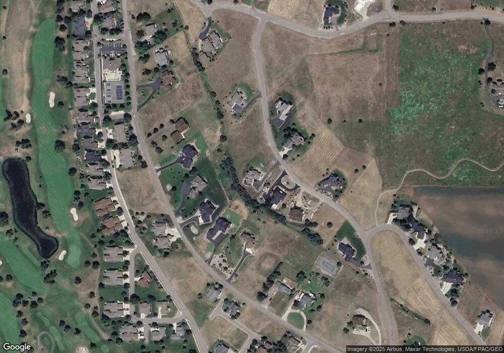
Map
Nearby Homes
- 189 Pheasant Ridge
- nhn Hawk Dr
- 525 Hawk Dr
- 372 Hawk Dr
- Nhn Tundra Swan Way
- 100 Reliance Landing
- 212 Pheasant Ridge Ln
- 102 Marias St
- LOT 34 Tundra Swan Way
- 116 Red Tail Rd
- 213 Pheasant Ridge
- 103 Eagle Dr
- 115 Gwenda Ln Unit B
- 109 Gwenda Ln Unit A
- 111 Gwenda Ln Unit B
- 113 Gwenda Ln Unit A
- 113 Mission Bay Dr
- 403 White Fox Run
- 107 Kari Ln
- 227 Pheasant Ridge
- 191 Pheasant Ridge Ln Unit (Lot 5)
- 191 Pheasant Ridge Ln
- 191 Pheasant Ridge
- 193 Pheasant Ridge Ln Unit (Lot 4)
- 193 Pheasant Ridge Unit (Lot 4)
- 193 Pheasant Ridge
- 193 Pheasant Ridge Ln
- 189 Pheasant Ridge Unit (Lot 6)
- 189 Pheasant Ridge Ln Unit (Lot 6)
- 189 Pheasant Ridge Ln
- 195 Pheasant Ridge Ln Unit (Lot 3)
- 195 Pheasant Ridge Unit (Lot 3)
- 195 Pheasant Ridge
- 195 Pheasant Ridge Ln
- 596 Hawk Dr
- Lot 22 Pheasant Ridge
- 536 Hawk Dr Unit (Lot 7)
- 536 Hawk Dr
- 564 Hawk Dr
- 194 Pheasant Ridge