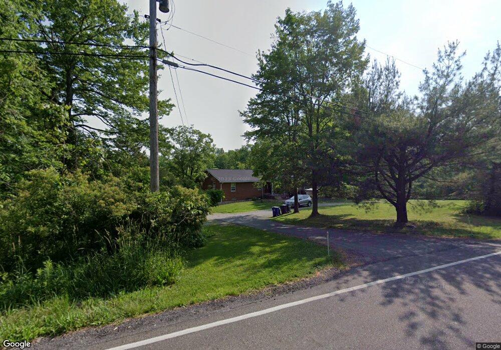
191 Ravenna Rd Streetsboro, OH 44241
Estimated Value: $227,000 - $291,000
3
Beds
2
Baths
1,624
Sq Ft
$163/Sq Ft
Est. Value
About This Home
This home is located at 191 Ravenna Rd, Streetsboro, OH 44241 and is currently estimated at $264,806, approximately $163 per square foot. 191 Ravenna Rd is a home located in Portage County with nearby schools including Streetsboro High School, Crossroads Christian Academy, and Seton Catholic Elementary School.
Ownership History
Date
Name
Owned For
Owner Type
Purchase Details
Closed on
Feb 7, 2022
Sold by
William Gray John and William Anne Mary
Bought by
Call Damon L and Call Kirston
Current Estimated Value
Home Financials for this Owner
Home Financials are based on the most recent Mortgage that was taken out on this home.
Original Mortgage
$123,914
Outstanding Balance
$115,568
Interest Rate
3.92%
Mortgage Type
FHA
Estimated Equity
$149,238
Purchase Details
Closed on
Aug 14, 1995
Sold by
Tuttle Dorothy M
Bought by
William John and Gray Mary Anne
Create a Home Valuation Report for This Property
The Home Valuation Report is an in-depth analysis detailing your home's value as well as a comparison with similar homes in the area
Home Values in the Area
Average Home Value in this Area
Purchase History
| Date | Buyer | Sale Price | Title Company |
|---|---|---|---|
| Call Damon L | $200,000 | None Listed On Document | |
| William John | $60,000 | -- |
Source: Public Records
Mortgage History
| Date | Status | Borrower | Loan Amount |
|---|---|---|---|
| Open | Call Damon L | $123,914 |
Source: Public Records
Tax History Compared to Growth
Tax History
| Year | Tax Paid | Tax Assessment Tax Assessment Total Assessment is a certain percentage of the fair market value that is determined by local assessors to be the total taxable value of land and additions on the property. | Land | Improvement |
|---|---|---|---|---|
| 2024 | $3,286 | $79,240 | $27,370 | $51,870 |
| 2023 | $3,695 | $72,950 | $22,580 | $50,370 |
| 2022 | $3,766 | $72,950 | $22,580 | $50,370 |
| 2021 | $3,819 | $72,950 | $22,580 | $50,370 |
| 2020 | $3,627 | $63,530 | $22,580 | $40,950 |
| 2019 | $3,661 | $63,530 | $22,580 | $40,950 |
| 2018 | $2,991 | $58,210 | $24,430 | $33,780 |
| 2017 | $2,991 | $58,210 | $24,430 | $33,780 |
| 2016 | $2,964 | $58,210 | $24,430 | $33,780 |
| 2015 | $2,998 | $58,210 | $24,430 | $33,780 |
| 2014 | $3,024 | $58,210 | $24,430 | $33,780 |
| 2013 | $3,012 | $58,210 | $24,430 | $33,780 |
Source: Public Records
Map
Nearby Homes
- 5431 Diana Lynn Dr
- 5473 Young Rd
- 5241 Brockton Dr
- 139 Mccracken Rd
- 5465 Park Vista Ct
- 174 Sapphire Ln
- 389 Opal Ct
- 9005 Sandpiper Dr
- 8929 Falcon Dr
- 6629 Meadow Farm Dr
- 7693 Ferguson Rd
- 4901 Pebblehurst Dr
- 9085 Sandpiper Dr
- 6607 Dunbarton Dr
- 644 Teal Ct
- V/L Norton Rd
- 7723 W Lake Blvd
- 4917 Independence Cir Unit B
- 6751 Pheasants Ridge
- 6869 Saint Regis Blvd