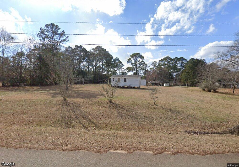
191 Rockdale Subdivision Loop Americus, GA 31709
Estimated Value: $95,906 - $196,000
Studio
--
Bath
--
Sq Ft
3,920
Sq Ft Lot
About This Home
This home is located at 191 Rockdale Subdivision Loop, Americus, GA 31709 and is currently estimated at $133,477. 191 Rockdale Subdivision Loop is a home with nearby schools including Sumter County Primary School, Sumter County Elementary School, and Sumter County Middle School.
Ownership History
Date
Name
Owned For
Owner Type
Purchase Details
Closed on
Oct 1, 2018
Sold by
Deriso Larry D
Bought by
Deriso Larry D and Liv Marcella
Current Estimated Value
Purchase Details
Closed on
Dec 30, 2005
Sold by
Deriso John A
Bought by
Deriso Larry D
Purchase Details
Closed on
Feb 7, 2003
Sold by
Deriso Richard
Bought by
Deriso Larry
Purchase Details
Closed on
Dec 31, 2002
Sold by
Deriso John M
Bought by
Deriso Larry
Purchase Details
Closed on
Jan 2, 2001
Sold by
Deriso John M Etal
Bought by
Williams Billie Jo
Purchase Details
Closed on
Feb 6, 1997
Sold by
Deriso John A Etal
Bought by
Deriso John M Etal
Purchase Details
Closed on
Dec 30, 1995
Sold by
Deriso John M
Bought by
Deriso John A Etal
Purchase Details
Closed on
Sep 9, 1976
Sold by
Williams Rev John T
Bought by
Deriso John M
Create a Home Valuation Report for This Property
The Home Valuation Report is an in-depth analysis detailing your home's value as well as a comparison with similar homes in the area
Purchase History
| Date | Buyer | Sale Price | Title Company |
|---|---|---|---|
| Deriso Larry D | -- | -- | |
| Deriso Larry D | $2,000 | -- | |
| Deriso Larry D | $2,000 | -- | |
| Deriso Larry | -- | -- | |
| Deriso Larry | -- | -- | |
| Deriso John M | -- | -- | |
| Williams Billie Jo | -- | -- | |
| Deriso John M Etal | -- | -- | |
| Deriso John A Etal | -- | -- | |
| Deriso John M | -- | -- |
Source: Public Records
Tax History
| Year | Tax Paid | Tax Assessment Tax Assessment Total Assessment is a certain percentage of the fair market value that is determined by local assessors to be the total taxable value of land and additions on the property. | Land | Improvement |
|---|---|---|---|---|
| 2025 | $144 | $2,208 | $2,000 | $208 |
| 2024 | $144 | $2,208 | $2,000 | $208 |
| 2023 | $142 | $2,208 | $2,000 | $208 |
| 2022 | $142 | $2,208 | $2,000 | $208 |
| 2021 | $142 | $2,208 | $2,000 | $208 |
| 2020 | $144 | $2,208 | $2,000 | $208 |
| 2019 | $119 | $2,208 | $2,000 | $208 |
| 2018 | $119 | $2,208 | $2,000 | $208 |
| 2017 | $119 | $2,208 | $2,000 | $208 |
| 2016 | $120 | $2,208 | $2,000 | $208 |
| 2015 | $116 | $2,128 | $2,000 | $128 |
| 2014 | $116 | $2,128 | $2,000 | $128 |
| 2013 | -- | $2,128 | $2,000 | $128 |
Source: Public Records
Map
Nearby Homes
- 174 Briar Patch Cir
- 208 Edgewood Dr
- lot 47 Greenwood Dr
- Lot 52 Dellwood Dr
- 0 Ashley Rd
- 310 Wildwood Cir
- Lot 5 Lake Jennifer Dr
- 219 Murphy Mill Rd
- 125 Dellwood Dr
- 121 S Forty Cir
- 108 Springfield Ave
- 111 Cedar Ridge Dr
- TBD Grande Ave
- 338 Buttercup Ln
- 620 E Furlow St
- 1105 Elm Ave
- 122 Southland Ridge Dr
- 113 Clearview Cir
- 1720 E Lamar St
- 1202 S Lee St
- 183 Pine St
- 241 Rockdale Subdivision Loop
- 247 Rockdale Loop
- 253 Rockdale Subdivision Loop
- 246 Rockdale Subdivision Loop
- 261 Rockdale Subdivision Loop
- 169 Rockdale Subdivision Loop
- 216 Rockdale Sub Loop
- 360 Brady Rd
- 266 Rockdale Subdivision Loop
- 273 Rockdale Subdivision Loop
- 204A Rockdale Subdivision Loop
- 376 Brady Rd
- 276 Rockdale Subdivision Loop
- 378 Brady Rd
- 0000 Brady Rd
- 1030 Brady Rd
- TBD Brady Rd
- 332A Brady Rd
- 131 Rockdale Subdivision Loop
Your Personal Tour Guide
Ask me questions while you tour the home.