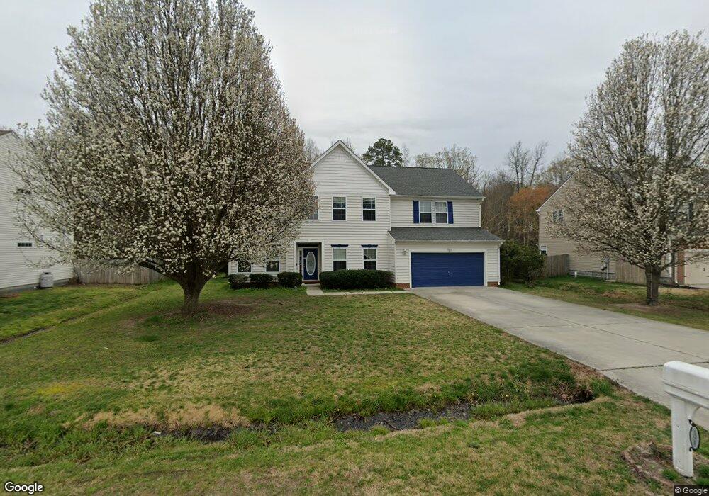
191 Saint Andrews Rd Moyock, NC 27958
Estimated Value: $525,000 - $558,000
5
Beds
3
Baths
3,561
Sq Ft
$152/Sq Ft
Est. Value
About This Home
This home is located at 191 Saint Andrews Rd, Moyock, NC 27958 and is currently estimated at $539,814, approximately $151 per square foot. 191 Saint Andrews Rd is a home located in Currituck County with nearby schools including Moyock Elementary School, Moyock Middle School, and Currituck County High School.
Ownership History
Date
Name
Owned For
Owner Type
Purchase Details
Closed on
Mar 2, 2020
Sold by
Joy Vonnie W and Joy Desiree E
Bought by
Robbins Anthony W and Robbins Monica
Current Estimated Value
Home Financials for this Owner
Home Financials are based on the most recent Mortgage that was taken out on this home.
Original Mortgage
$359,231
Outstanding Balance
$318,751
Interest Rate
3.6%
Mortgage Type
VA
Estimated Equity
$221,063
Purchase Details
Closed on
Aug 30, 2002
Bought by
Joy Vonnie W and Joy Desiree E
Create a Home Valuation Report for This Property
The Home Valuation Report is an in-depth analysis detailing your home's value as well as a comparison with similar homes in the area
Home Values in the Area
Average Home Value in this Area
Purchase History
| Date | Buyer | Sale Price | Title Company |
|---|---|---|---|
| Robbins Anthony W | $372,000 | None Available | |
| Joy Vonnie W | $232,100 | -- |
Source: Public Records
Mortgage History
| Date | Status | Borrower | Loan Amount |
|---|---|---|---|
| Open | Robbins Anthony W | $359,231 |
Source: Public Records
Tax History Compared to Growth
Tax History
| Year | Tax Paid | Tax Assessment Tax Assessment Total Assessment is a certain percentage of the fair market value that is determined by local assessors to be the total taxable value of land and additions on the property. | Land | Improvement |
|---|---|---|---|---|
| 2024 | $2,879 | $412,500 | $55,600 | $356,900 |
| 2023 | $2,879 | $412,500 | $55,600 | $356,900 |
| 2022 | $2,198 | $412,500 | $55,600 | $356,900 |
| 2021 | $2,190 | $289,400 | $50,500 | $238,900 |
| 2020 | $1,539 | $289,400 | $50,500 | $238,900 |
| 2019 | $1,539 | $289,400 | $50,500 | $238,900 |
| 2018 | $1,539 | $289,400 | $50,500 | $238,900 |
| 2017 | $1,503 | $289,400 | $50,500 | $238,900 |
| 2016 | $1,503 | $289,400 | $50,500 | $238,900 |
| 2015 | $1,503 | $289,400 | $50,500 | $238,900 |
Source: Public Records
Map
Nearby Homes
- 193 Saint Andrews Rd
- 163 Saint Andrews Rd
- 182 Eagle Creek Rd
- 269 Green View Rd
- 324 Sunny Lake Rd Unit Lot 41
- 324 Sunny Lake Rd
- 101 Claire Ct
- 306 Sunny Lake Rd
- 306 Sunny Lake Rd Unit Lot 50
- 158 Green View Rd
- 204 Leif St
- 216 Leif St
- 214 Leif St
- 201 Leif St
- 202 Green Lake Rd
- 169 Green View Rd
- 172 Green View Rd
- 001 W Ryker Rd
- 01 W Ryker Rd
- 102 Ryker Rd W
- 191 St Andrews Rd
- 189 Saint Andrews Rd
- 195 Saint Andrews Rd
- 187 Saint Andrews Rd
- 180 Saint Andrews Rd
- 182 Saint Andrews Rd
- 362 Green View Rd Unit 120
- 362 Green View Rd
- 178 Saint Andrews Rd
- 185 Saint Andrews Rd
- 184 Saint Andrews Rd
- 110 Mustang Trail
- 360 Green View Rd
- 176 Saint Andrews Rd
- 108 Mustang Trail Unit 110
- 183 Saint Andrews Rd
- 358 Green View Rd
- 174 Saint Andrews Rd
- 319 Green View Rd
- 102 Green View Rd