191 Thumb Point Rd Vineyard Haven, MA 02568
West Tisbury NeighborhoodEstimated Value: $1,978,000 - $4,712,957
4
Beds
3
Baths
2,845
Sq Ft
$1,391/Sq Ft
Est. Value
About This Home
This home is located at 191 Thumb Point Rd, Vineyard Haven, MA 02568 and is currently estimated at $3,958,239, approximately $1,391 per square foot. 191 Thumb Point Rd is a home with nearby schools including Martha's Vineyard Regional High School.
Ownership History
Date
Name
Owned For
Owner Type
Purchase Details
Closed on
Apr 22, 2009
Sold by
Carson Alba N
Bought by
Eber Kenneth A
Current Estimated Value
Purchase Details
Closed on
Dec 7, 2007
Sold by
Eber Kenneth A
Bought by
Carson Alba N
Purchase Details
Closed on
Apr 24, 1996
Sold by
Rogers Alden L
Bought by
Eber Kenneth A
Create a Home Valuation Report for This Property
The Home Valuation Report is an in-depth analysis detailing your home's value as well as a comparison with similar homes in the area
Home Values in the Area
Average Home Value in this Area
Purchase History
| Date | Buyer | Sale Price | Title Company |
|---|---|---|---|
| Eber Kenneth A | -- | -- | |
| Carson Alba N | -- | -- | |
| Eber Kenneth A | $500,000 | -- |
Source: Public Records
Mortgage History
| Date | Status | Borrower | Loan Amount |
|---|---|---|---|
| Open | Eber Kenneth A | $1,047,650 | |
| Closed | Eber Kenneth A | $70,000 | |
| Previous Owner | Eber Kenneth A | $153,500 |
Source: Public Records
Tax History Compared to Growth
Tax History
| Year | Tax Paid | Tax Assessment Tax Assessment Total Assessment is a certain percentage of the fair market value that is determined by local assessors to be the total taxable value of land and additions on the property. | Land | Improvement |
|---|---|---|---|---|
| 2025 | $19,472 | $4,298,500 | $2,874,900 | $1,423,600 |
| 2024 | $17,871 | $4,156,000 | $2,791,500 | $1,364,500 |
| 2023 | $17,731 | $4,066,800 | $2,782,600 | $1,284,200 |
| 2022 | $15,958 | $2,741,900 | $1,712,400 | $1,029,500 |
| 2021 | $15,957 | $2,615,900 | $1,587,600 | $1,028,300 |
| 2020 | $15,772 | $2,598,300 | $1,566,600 | $1,031,700 |
| 2019 | $17,174 | $2,778,900 | $1,827,700 | $951,200 |
| 2018 | $16,464 | $2,716,900 | $1,794,900 | $922,000 |
| 2017 | $16,715 | $2,799,900 | $1,995,000 | $804,900 |
| 2016 | $16,258 | $2,682,800 | $1,882,600 | $800,200 |
| 2015 | $15,310 | $2,681,300 | $1,882,600 | $798,700 |
| 2014 | $15,215 | $2,812,400 | $2,188,100 | $624,300 |
Source: Public Records
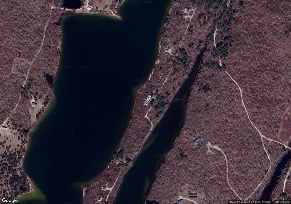
Map
Nearby Homes
- 104 Pond View Farm Rd
- 25 Vineyard Meadow Farms Rd
- 32 Edgartown - West Tisbury Rd Unit 81
- 10 Danls Way
- 45 Quenames Rd
- 47 Quenames Rd
- 25 Coffins Field Rd
- 25 Coffins Field Rd Unit 18
- 40 Scotchmans Ln
- 99 Cygnet Way Unit 103
- 2 Other House Rd Unit 173
- 60 Meetinghouse Rd
- 229 Oak Ln
- 22 Bramble Path Unit 214
- 22 Bramble Path
- 15 Old Farm Rd
- 308 South Rd
- 3 Jacob's Neck Rd Unit 2
- 2 Jacob's Neck Rd Unit 2
- 37 Bijah's Way Unit 96, 101, 102
- 201 Thumb Point Rd
- 125 Middle Point Rd
- 125 Middle Point Rd
- 135 Middle Point Rd
- 159 Old Thumb Point Rd
- 147 Middle Point Rd
- 147 Middle Point Rd
- 245 Thumb Point Rd
- 245 Thumb Point Rd
- 0 Middle Point Rd
- 131 Old Thumb Point Rd
- 191 Thumb Point Rd
- 167 Middle Point Rd
- 179 Middle Point Rd
- 119 Old Thumb Point Rd
- 191 Middle Point Rd
- 192 Middle Point Rd
- 176 Middle Point Rd
- 216 Middle Point Rd
- 208 Middle Point Rd