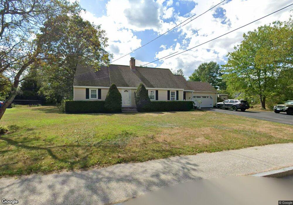
191 Union St Milford, NH 03055
Estimated Value: $560,325 - $682,000
4
Beds
2
Baths
2,542
Sq Ft
$235/Sq Ft
Est. Value
About This Home
This home is located at 191 Union St, Milford, NH 03055 and is currently estimated at $597,581, approximately $235 per square foot. 191 Union St is a home with nearby schools including Jacques Memorial Elementary School, Heron Pond Elementary School, and Milford Middle School.
Ownership History
Date
Name
Owned For
Owner Type
Purchase Details
Closed on
Apr 5, 2022
Sold by
White Gregory A and White Michelle
Bought by
White Ft 2022
Current Estimated Value
Purchase Details
Closed on
Apr 3, 1996
Sold by
Brown James W and Brown Beverly
Bought by
White Gregory A and White Michelle
Home Financials for this Owner
Home Financials are based on the most recent Mortgage that was taken out on this home.
Original Mortgage
$112,400
Interest Rate
7.31%
Create a Home Valuation Report for This Property
The Home Valuation Report is an in-depth analysis detailing your home's value as well as a comparison with similar homes in the area
Home Values in the Area
Average Home Value in this Area
Purchase History
| Date | Buyer | Sale Price | Title Company |
|---|---|---|---|
| White Ft 2022 | -- | None Available | |
| White Gregory A | $124,900 | -- |
Source: Public Records
Mortgage History
| Date | Status | Borrower | Loan Amount |
|---|---|---|---|
| Previous Owner | White Gregory A | $50,000 | |
| Previous Owner | White Gregory A | $183,000 | |
| Previous Owner | White Gregory A | $185,000 | |
| Previous Owner | White Gregory A | $112,400 |
Source: Public Records
Tax History Compared to Growth
Tax History
| Year | Tax Paid | Tax Assessment Tax Assessment Total Assessment is a certain percentage of the fair market value that is determined by local assessors to be the total taxable value of land and additions on the property. | Land | Improvement |
|---|---|---|---|---|
| 2024 | $8,791 | $371,400 | $98,100 | $273,300 |
| 2023 | $8,234 | $371,400 | $98,100 | $273,300 |
| 2022 | $7,721 | $371,400 | $98,100 | $273,300 |
| 2021 | $7,484 | $371,400 | $98,100 | $273,300 |
| 2020 | $8,200 | $323,200 | $69,200 | $254,000 |
| 2019 | $8,394 | $323,200 | $69,200 | $254,000 |
| 2018 | $7,831 | $264,500 | $69,200 | $195,300 |
| 2017 | $7,774 | $264,500 | $69,200 | $195,300 |
| 2016 | $7,660 | $264,500 | $69,200 | $195,300 |
| 2015 | $7,997 | $280,000 | $69,200 | $210,800 |
| 2014 | $7,644 | $280,000 | $69,200 | $210,800 |
| 2013 | $7,552 | $280,000 | $69,200 | $210,800 |
Source: Public Records
Map
Nearby Homes
- 44 Osgood Rd
- 61 W Meadow Ct
- 26 Melendy Rd Unit 97
- 26 Melendy Rd Unit 42
- 24 Spaulding St
- 377 Nashua St
- 0 Briar Cliff Dr
- 145 Westchester Dr
- 40 North St
- 43 Boxwood Cir
- 7 Fox Run Rd
- 0 Claude Rd
- 32 Larch Rd
- 36 Berkeley Place
- 686 Route 13 S
- 00 Ruonala Rd
- 57 Patch Hill Ln
- 344 Elm St Unit 14
- 344 Elm St Unit 16
- 229 Mont Vernon Rd
- 195 Union St
- 6 Curtis Commons Cir Unit Lot 26
- 194 Union St
- 200 Union St
- 190 Union St
- 65 Curtis Commons Cir
- 69 Curtis Commons Cir Unit Lot 25
- 7 Curtis Commons Cir Unit Lot 11
- 188 Union St
- 61 Curtis Commons Cir Unit Lot 23
- 199 Union St
- 11 Curtis Commons Cir
- 11 Curtis Commons Cir Unit Lot 12
- 205 Union St
- 206 Union St
- 2 Mooreland St
- 68 Curtis Commons Cir Unit Lot 27
- 178 Union St
- 6 Mooreland St
- 12 Mooreland St